Emily Carr Inlet to Quigley Creek

Emily Carr Inlet turned out to be one of the pleasant surprises of this year's cruise. We originally planned only a brief stop, but the anchorage quickly won us over. It has an unusually open feeling while still providing excellent protection. Admittedly, a strong southerly would probably change our opinion, but with this season's settled weather it proved to be a wonderful place to linger for a couple of days.

Our next destination is Quigley Creek, a favorite staging anchorage for Meyers Narrows. Many cruisers either spend the night here before making the transit or stop afterward, depending on the timing of the tides.

Its location at the junction of Thistle Passage and Laredo Inlet makes it surprisingly well protected despite being bordered by two large waterways that can become quite rough when the weather turns.

The entrance is straightforward at any stage of the tide. On today's arrival we saw 26 feet beneath the keel on a 13.8-foot tide, almost exactly what the Barnard Harbour tide tables predicted.

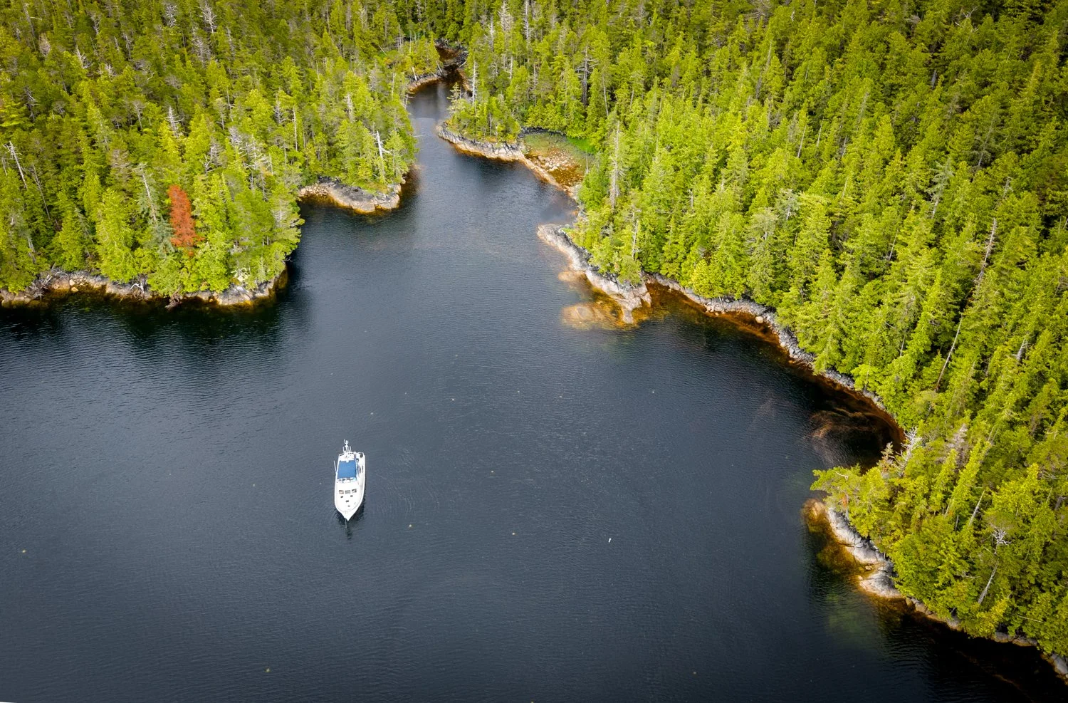
The anchorage itself is fairly deep, with our anchor set in about 65 feet of water. Fortunately, there is enough room to swing comfortably when the anchorage is lightly occupied. We have shared it with three other boats in the past, and while everyone fit, it required careful anchoring and thoughtful scope from all involved. This is one of those places where good anchoring etiquette benefits everyone.
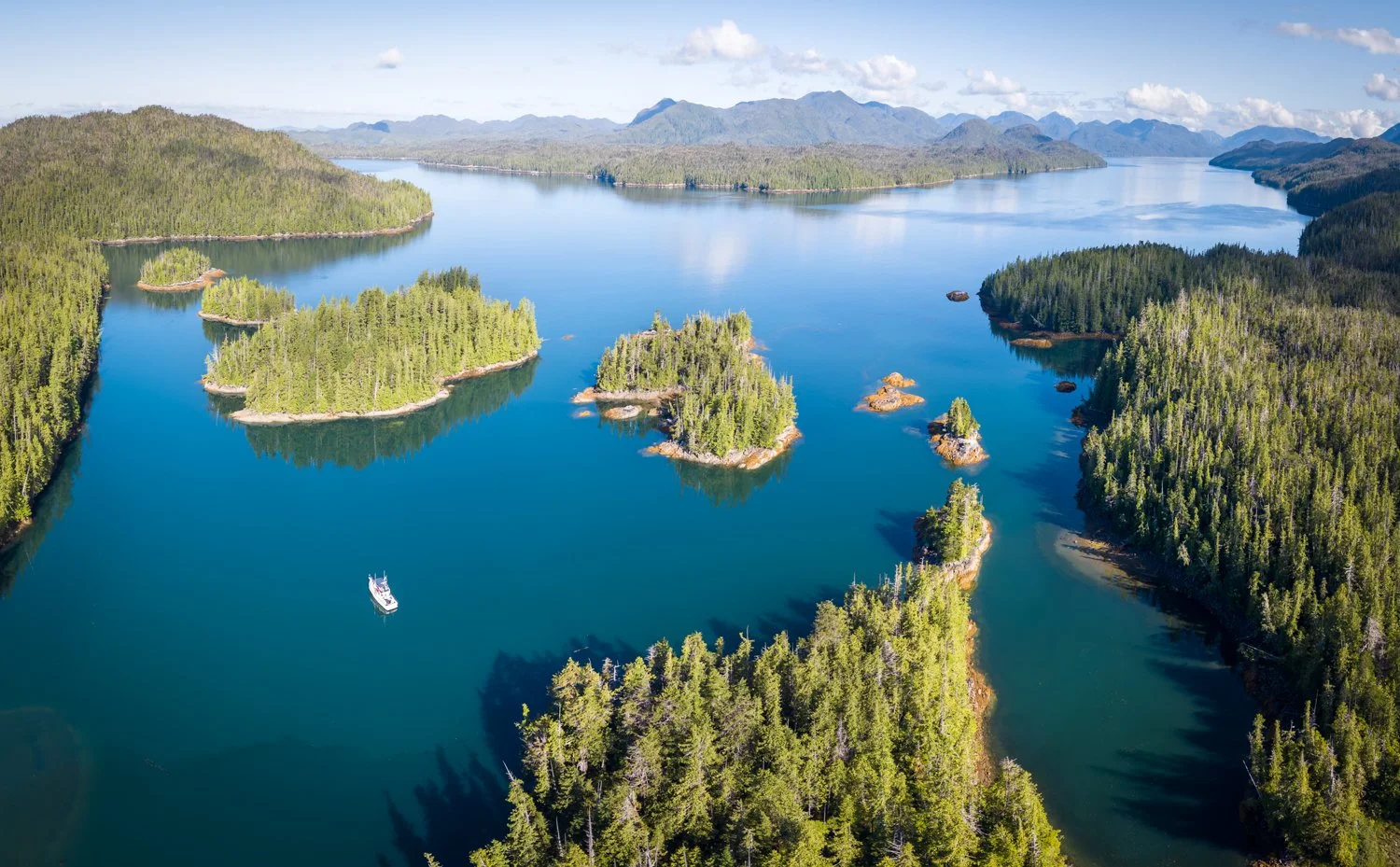
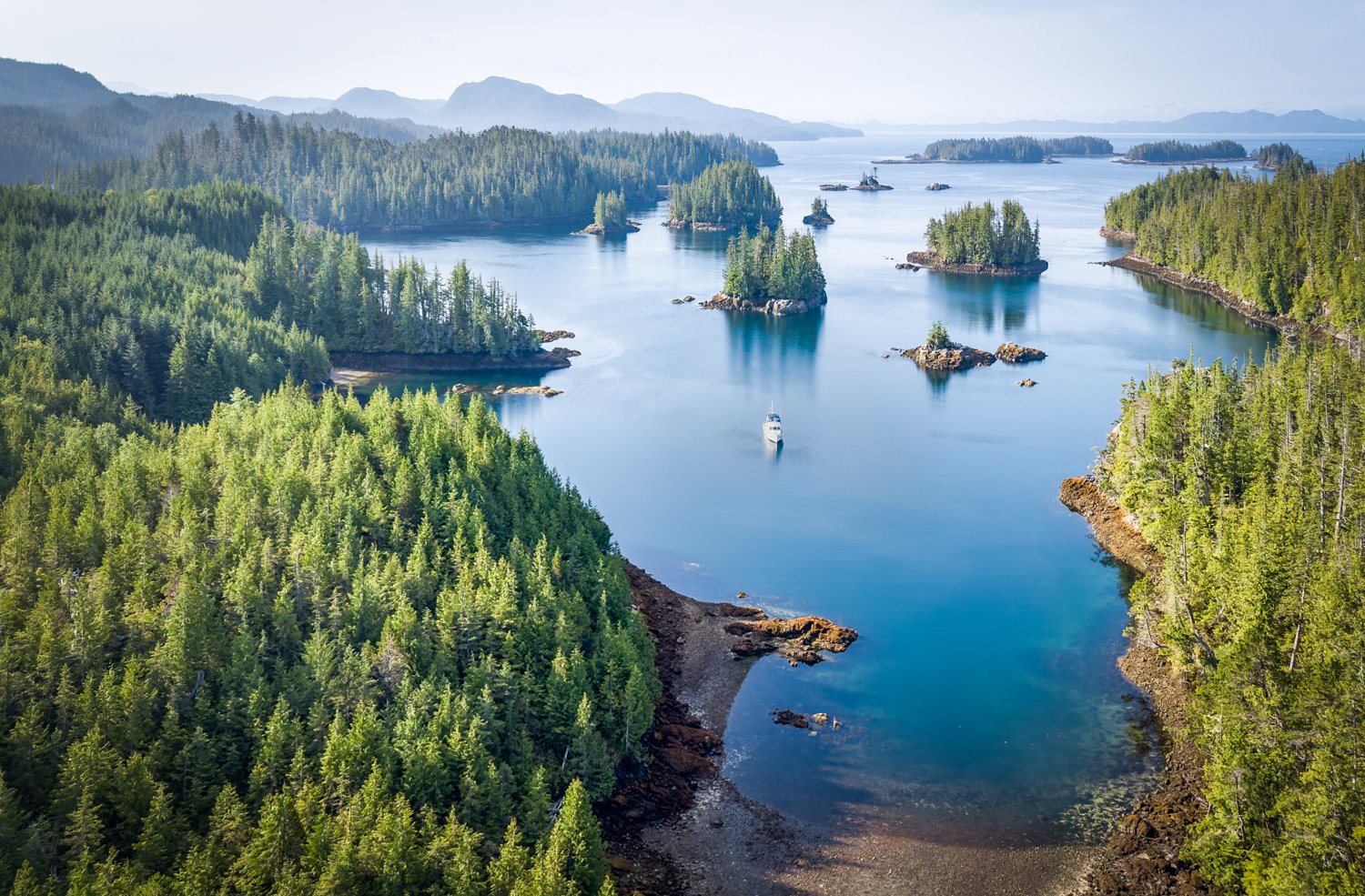
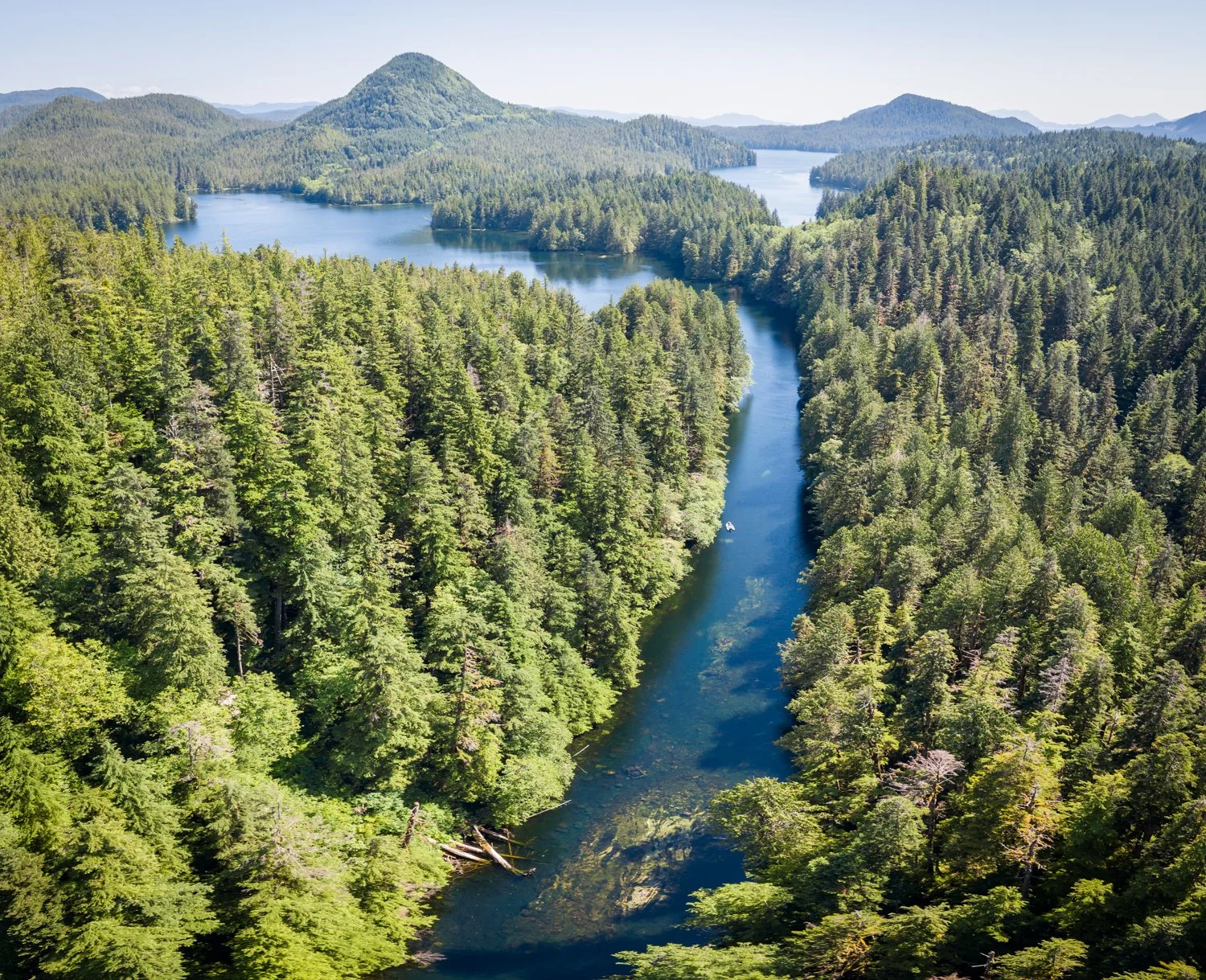
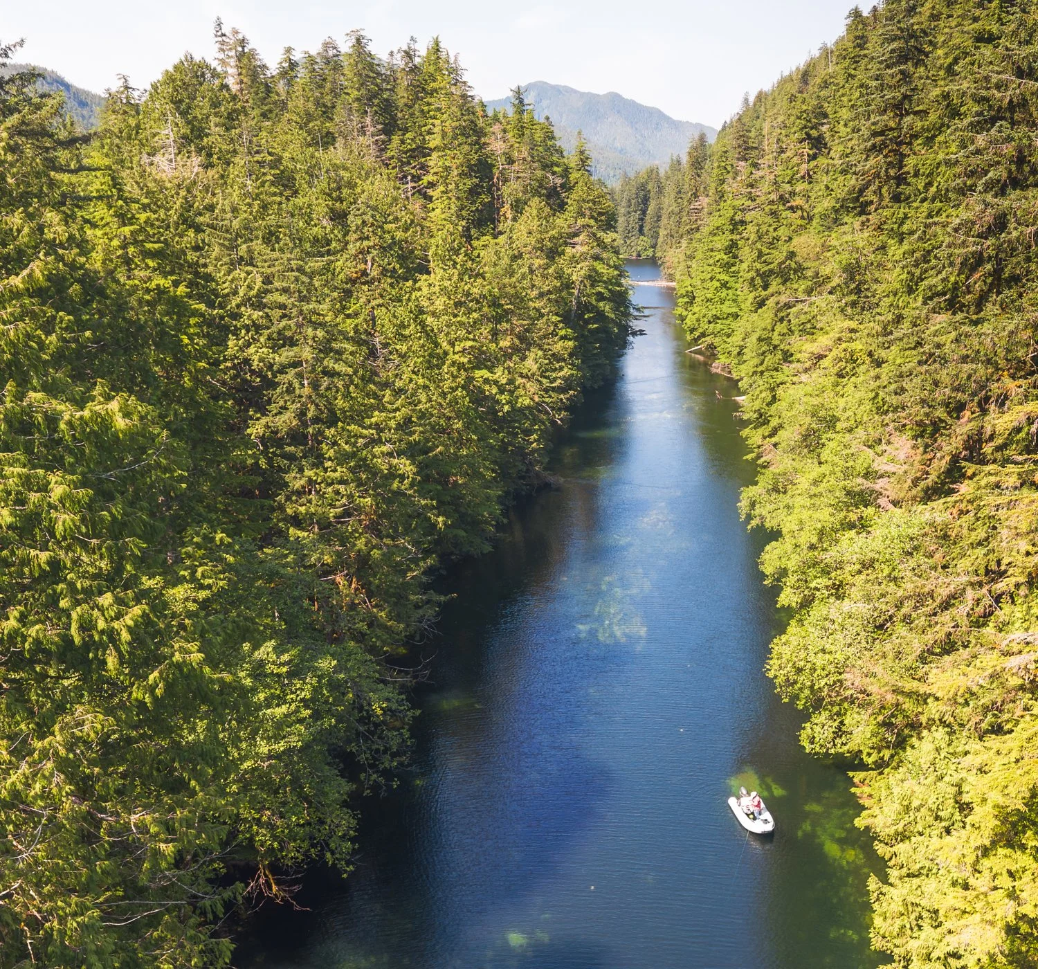
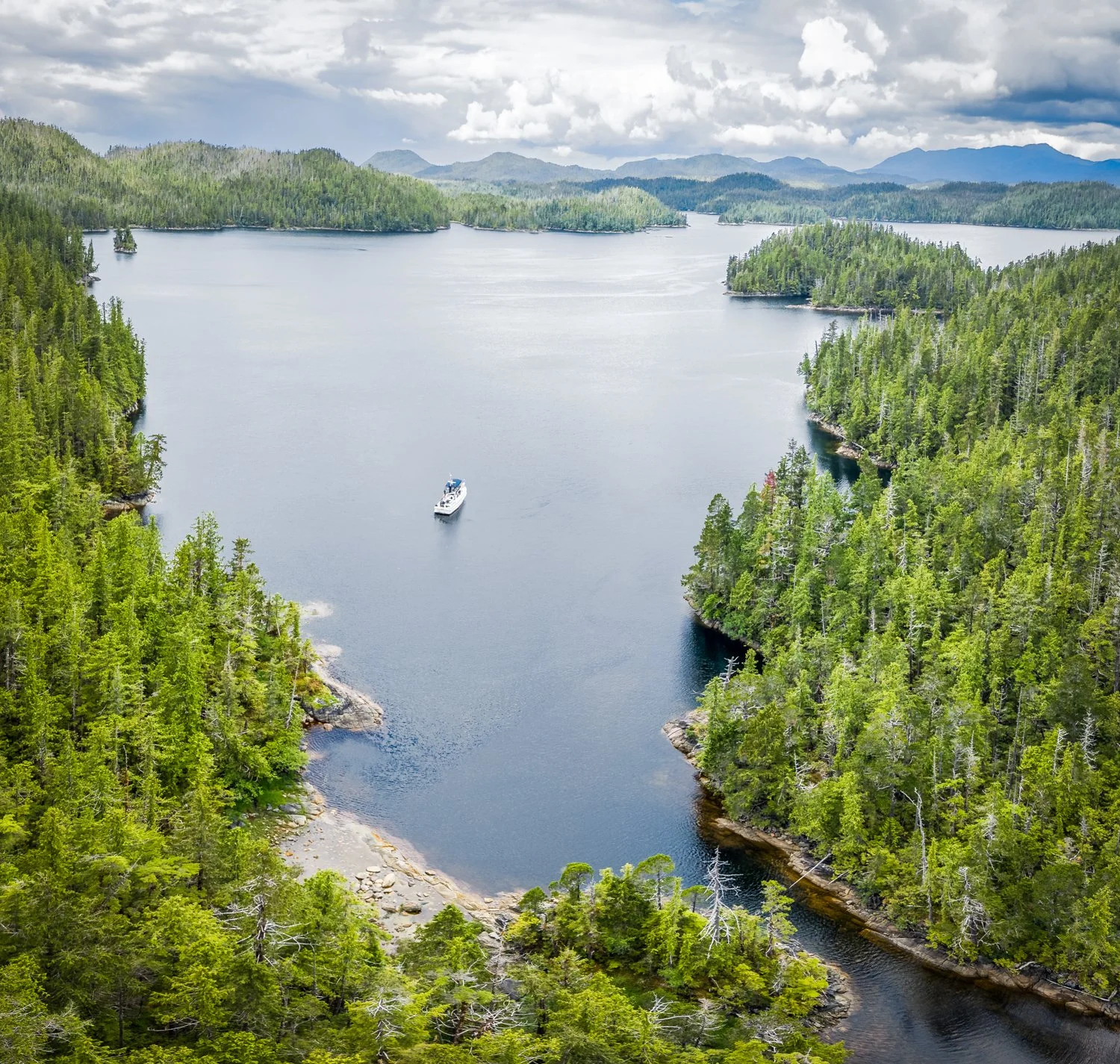
quigley creek with lardeo inlet off to the north
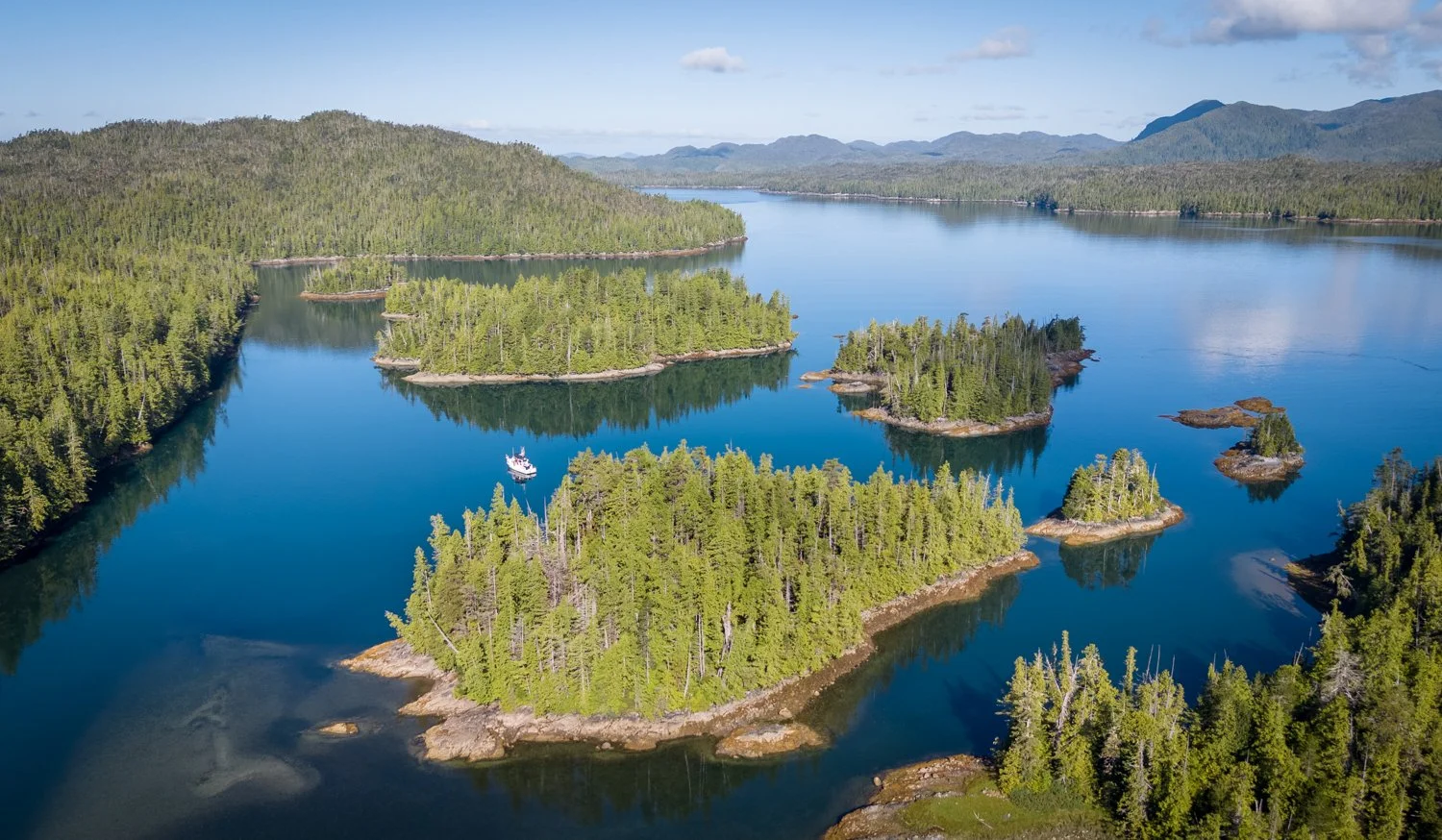
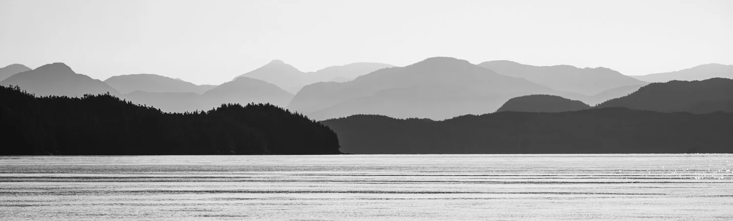
look west down laredo inlet after it makes a bend at quigley creek

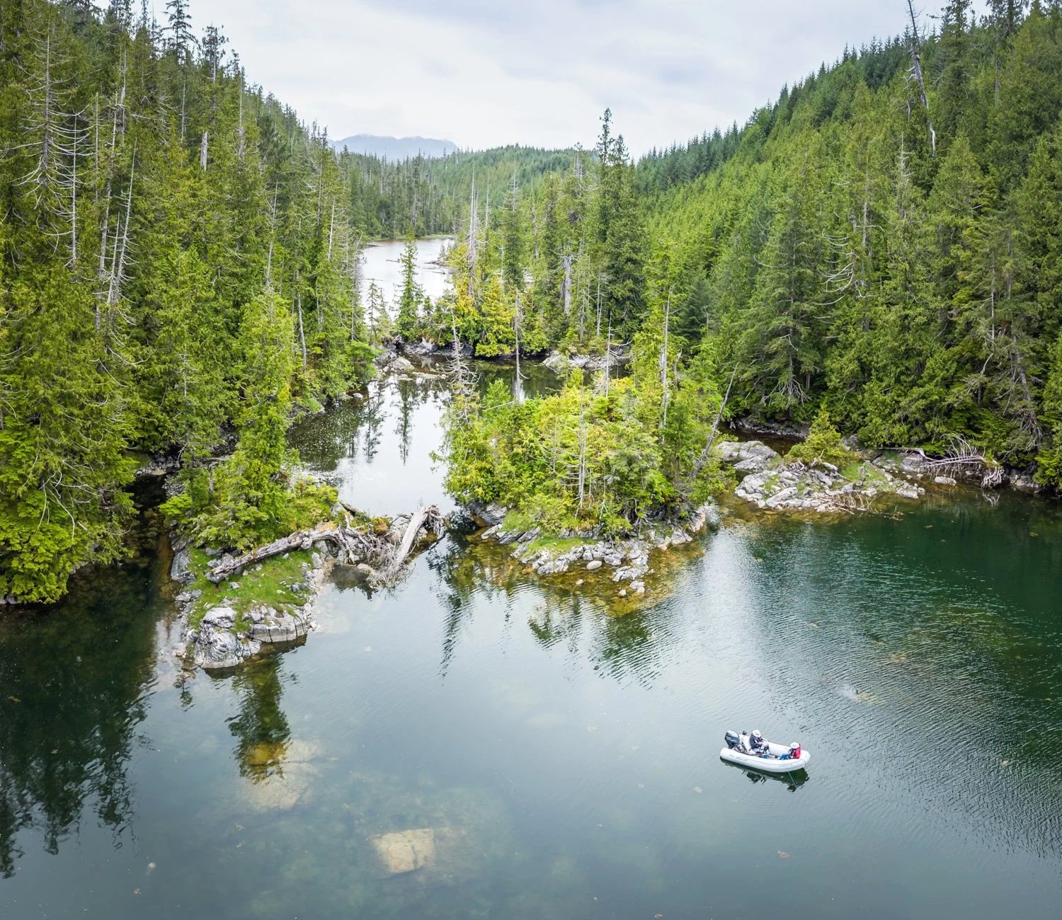
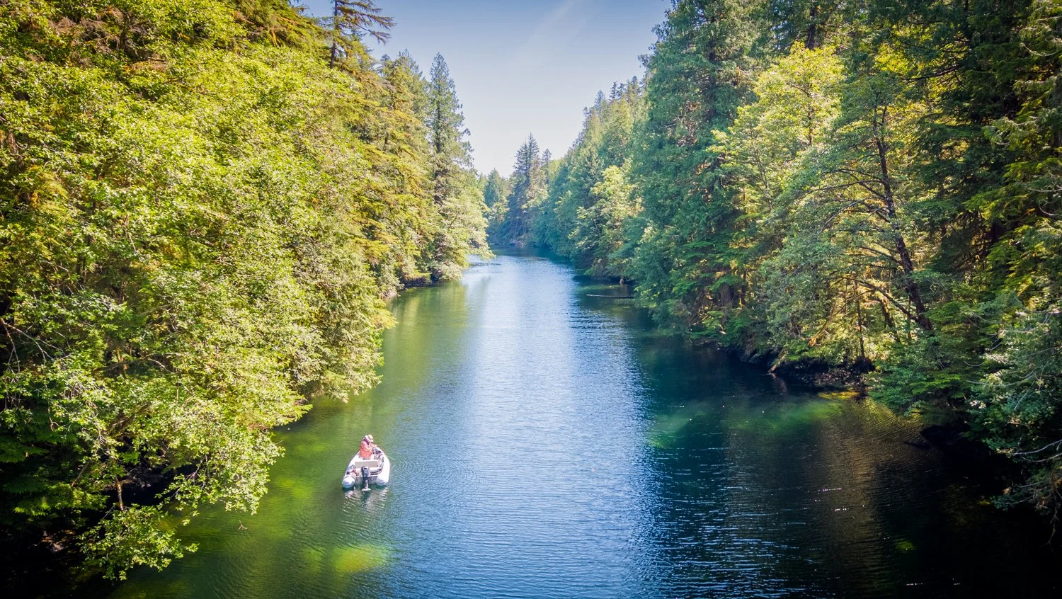
Like its namesake, Quigley Creek is worth exploring on a high tide. You won't get very far, but it provides a pleasant excuse to launch the dinghy and stretch your legs. At the creek entrance we found 14 feet of water on a 14.5-foot tide at Barnard Harbour. Beyond that, a broad rocky flat carried about four feet of water before the creek narrowed between large boulders and quickly shallowed to less than two feet, marking the practical end of the journey.
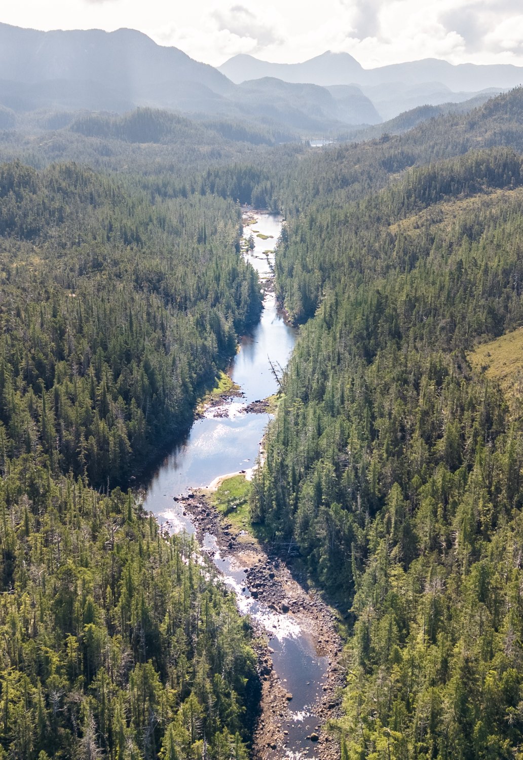
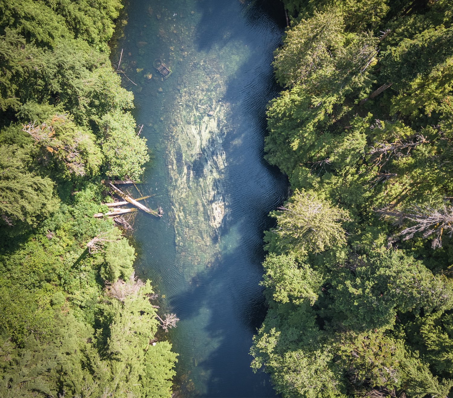
quigley creek at low tide
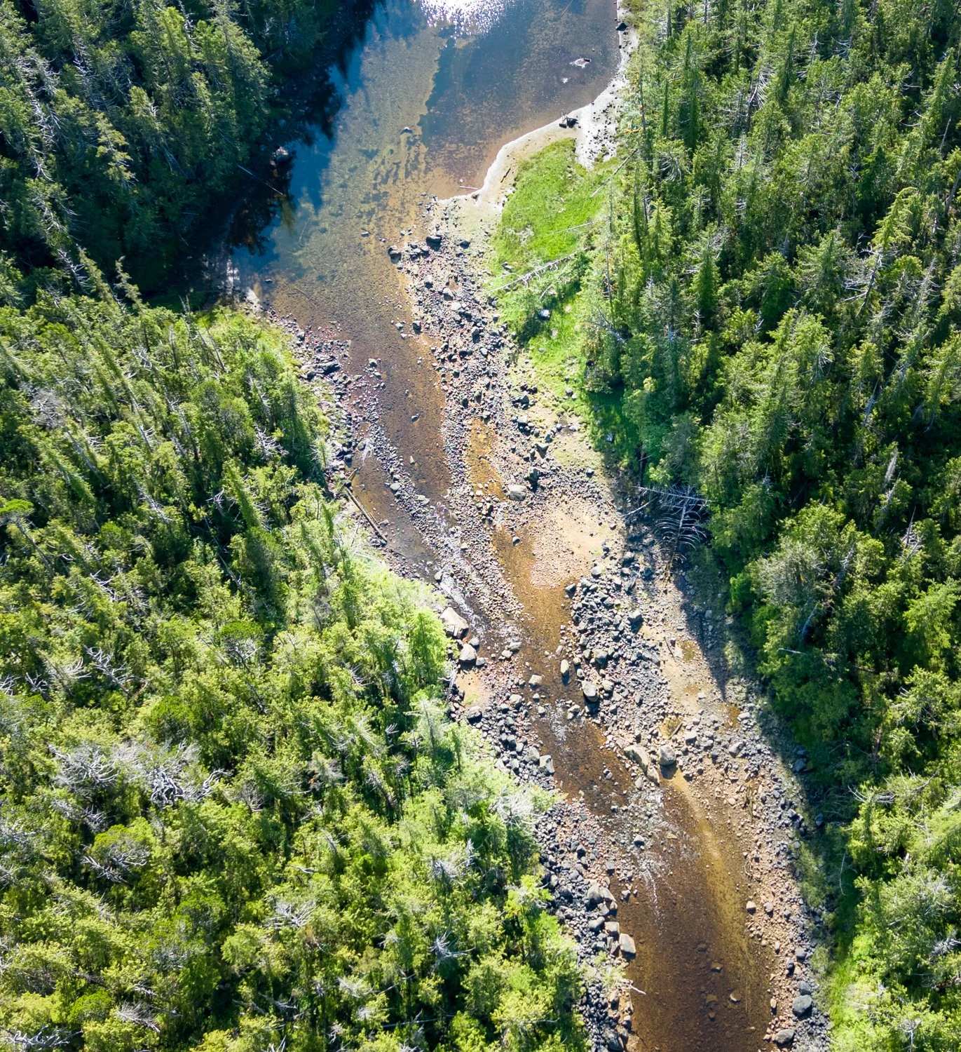
low tide at quigley creek is more of a hike

One feature keeps drawing us back to Quigley Creek, and it has nothing to do with tides or navigation.

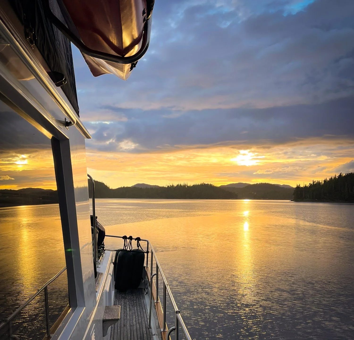
The sunsets.
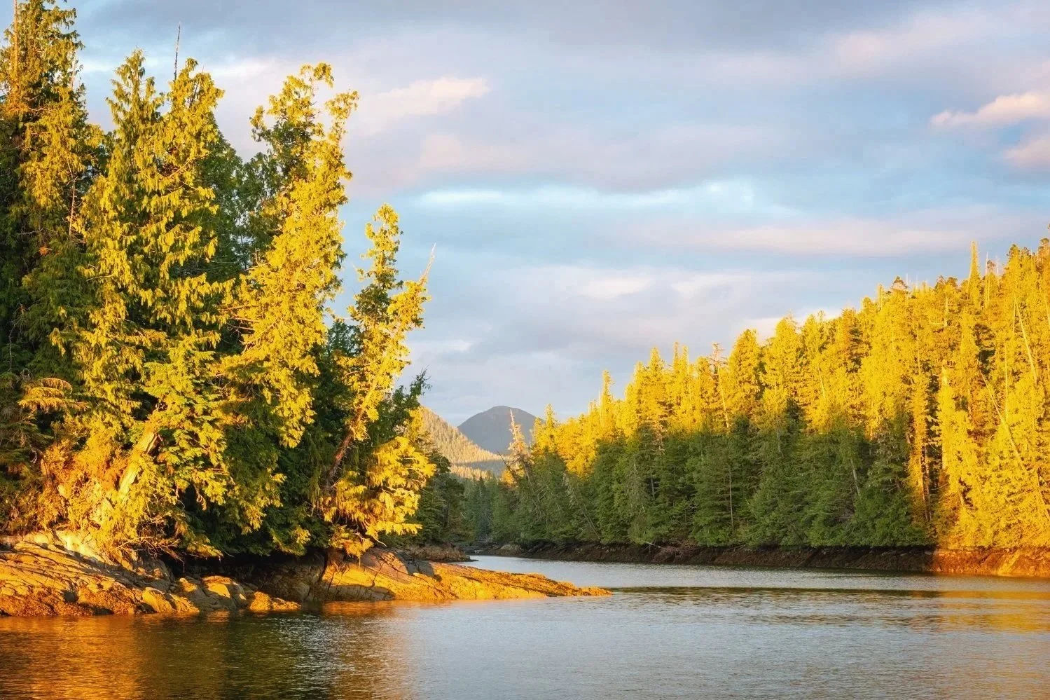
the view toward the east hints at what is about to happen in the western sky
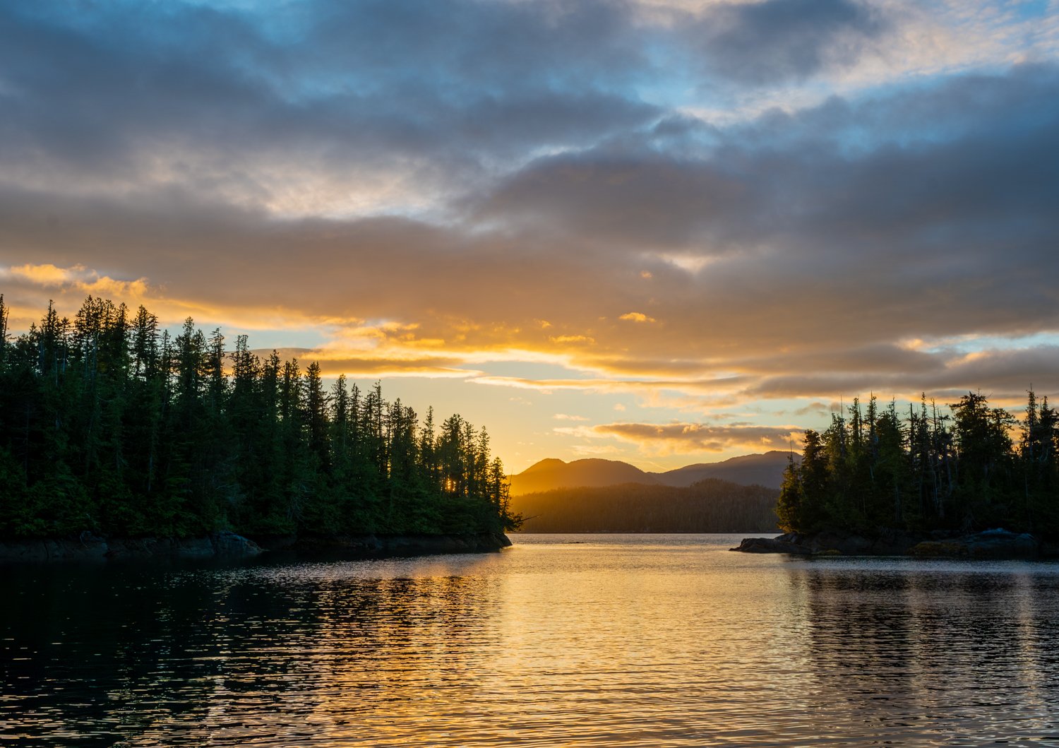
sunset over quigley creek

Over the years we've noticed that certain anchorages seem to have a gift for producing memorable evenings. Whether it's the surrounding mountains, the shape of the horizon, or simply good fortune, they consistently deliver spectacular displays as the sun slips below the horizon.

Quigley Creek is one of those special places.

As the evening light faded, the sky transformed into layers of gold, orange, and crimson reflected across the calm water. It was the perfect ending to another unhurried day on the coast and a fitting prelude to tomorrow's transit through Meyers Narrows.
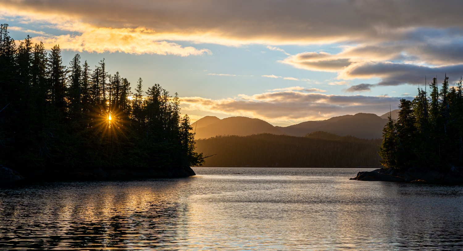
the sun makes its last peek-a-boo for today
 

Farrant Island Cove to Emily Carr Inlet

Some anchorages become favorites long before you arrive. Others earn that distinction only after you've dropped the hook.

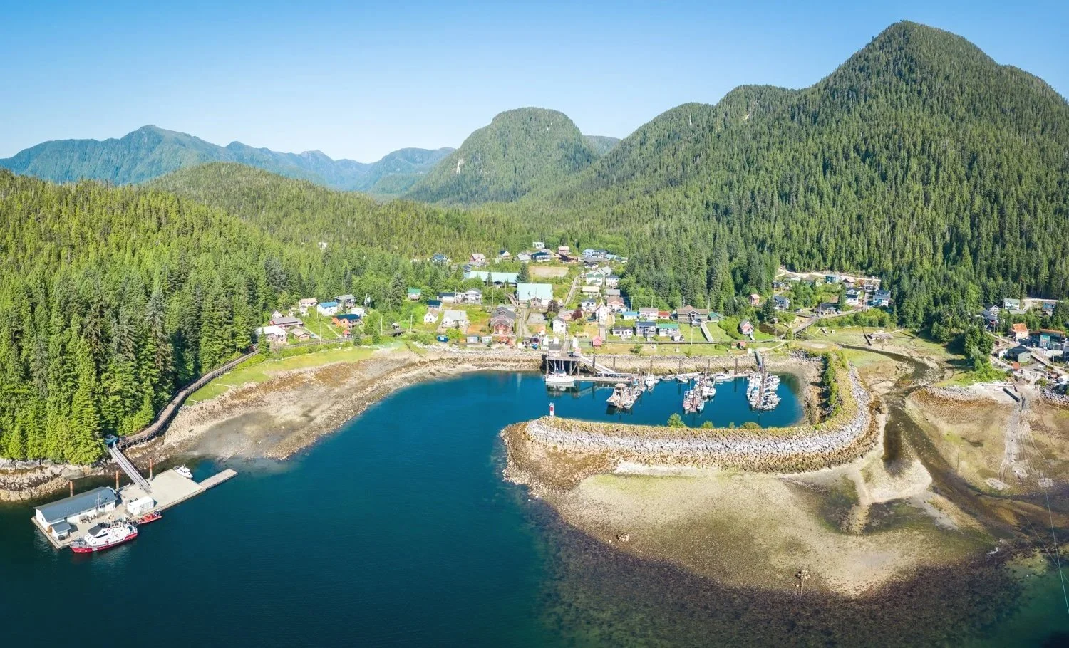
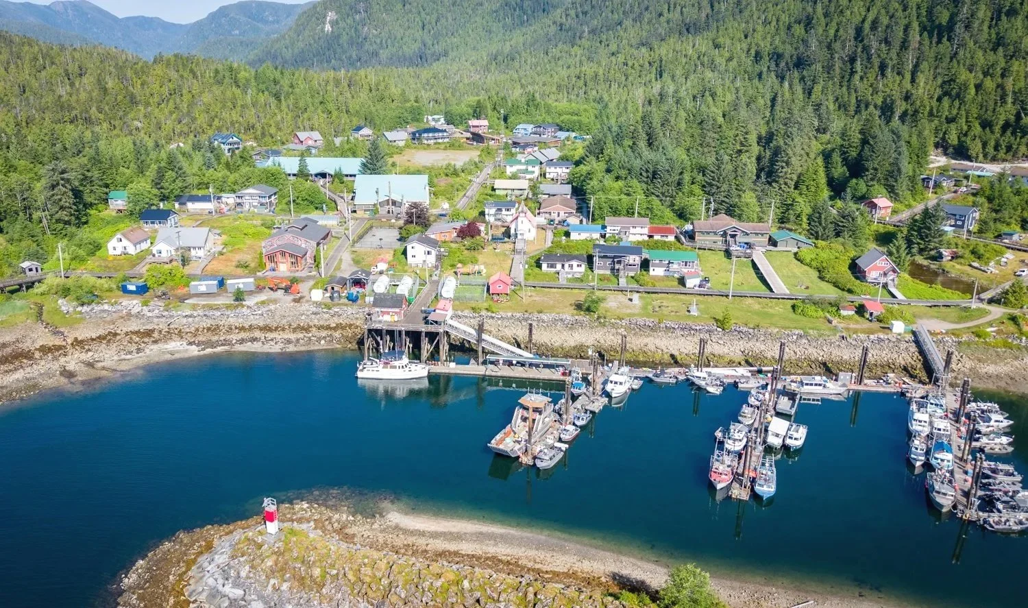
Our journey to Emily Carr Inlet began with a two-hour detour to Hartley Bay to top off the water tanks. Unlike our previous visit, the harbor was unusually quiet. Gone were the ferries, fishing boats, and activity around the fuel dock. We filled our tanks, chatted briefly on the dock, and before long were back underway.

there is a lot more to hartley bay than you can see from the fuel dock

oceanflyer on the fuel dock at hartley bay

With a route through Whale Channel, our expectations naturally turned toward humpbacks. The name alone invites optimism, and previous trips had rewarded us with memorable sightings. This time the channel didn't disappoint. Over the course of the four-hour run, we spotted six or so humpbacks, most of them solitary animals patiently feeding along current lines and back eddies where the underwater terrain concentrates their prey. Watching these giants quietly go about their business never seems to grow old.

Emily Carr Inlet, however, remained something of an unknown. There is remarkably little written about it. We've visited neighboring Chapple Inlet twice over the years, but this season seemed like the perfect opportunity to satisfy our curiosity and explore somewhere new.

We anchored near the head of the inlet in 75 feet of water. Although there are two additional anchorages tucked farther inside, both require enough tide to comfortably enter and leave. Since we preferred not to have our departure dictated by the tide, the outer anchorage suited us perfectly.

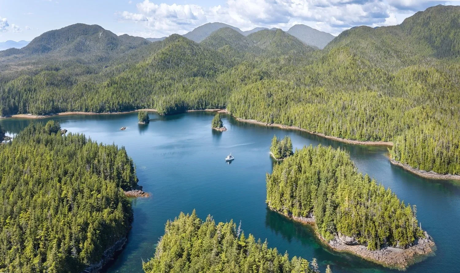
It turned out to be exactly the kind of place we enjoy. The surrounding hills provide excellent protection, while scattered islets preserve broad views that keep the anchorage from ever feeling enclosed. In a strong southerly it would likely become less comfortable, but the persistent high-pressure ridge delivered another stretch of calm weather. Only the growing haze hinted that summer had firmly settled over the coast.

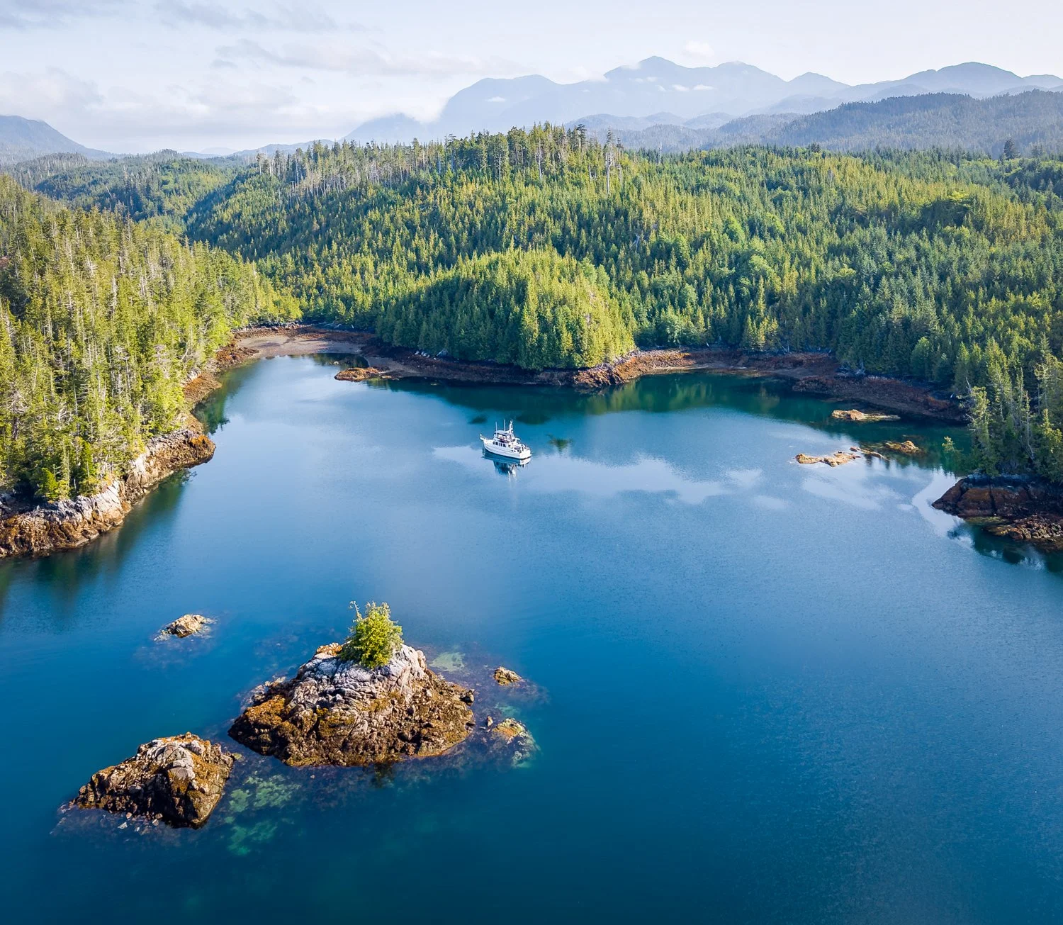
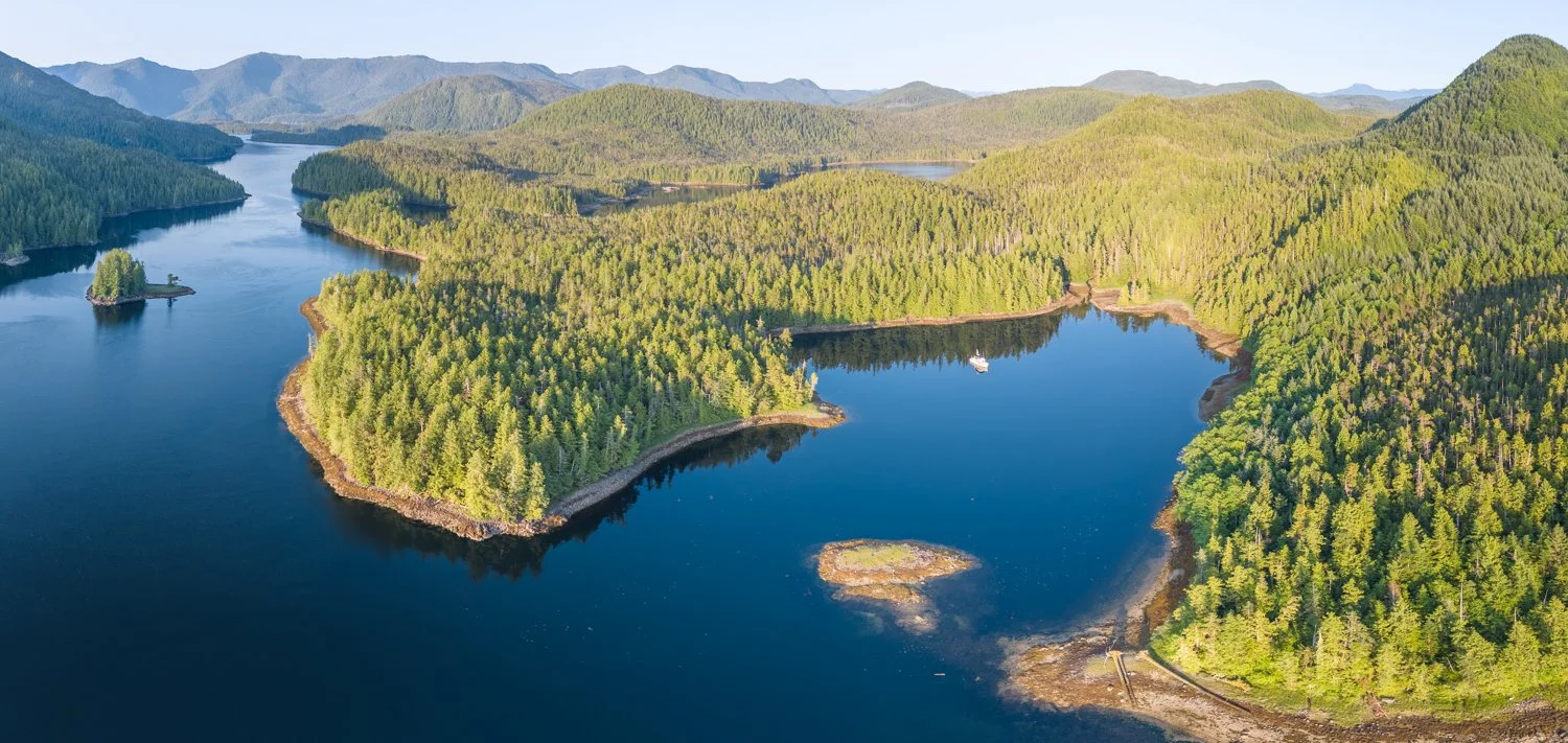
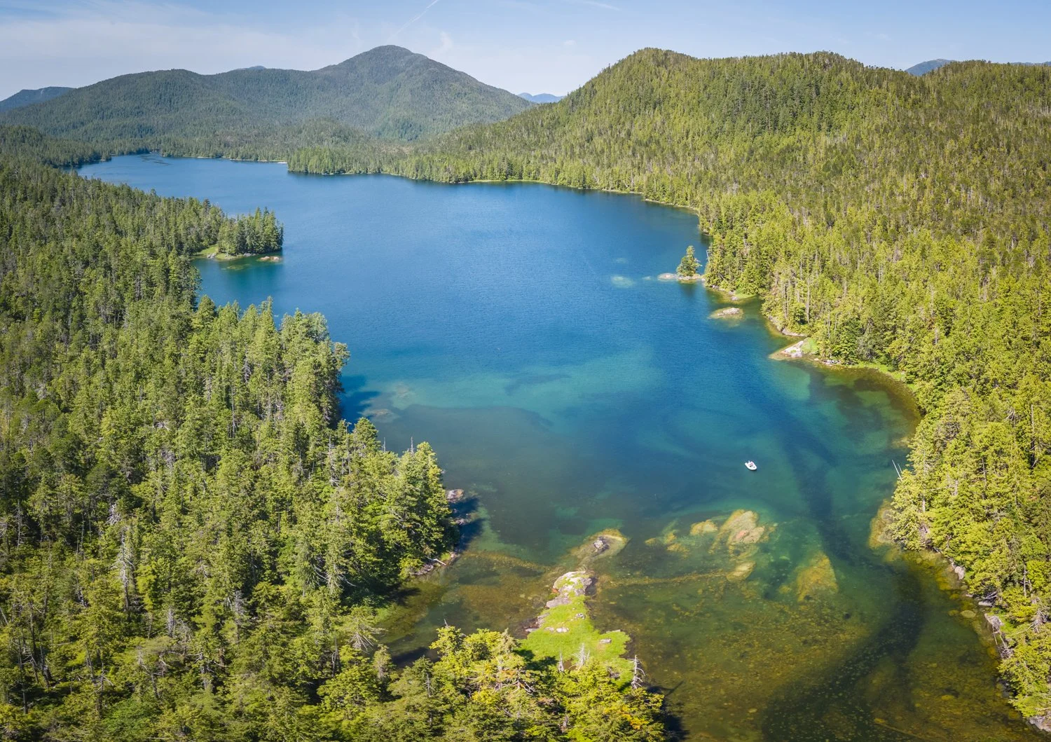
emily carr inlet anchorage

beautiful views looking out from emily carr inlet

The following day we launched the dinghy to explore the neighboring lagoons and see whether they offered anything better than our chosen anchorage.

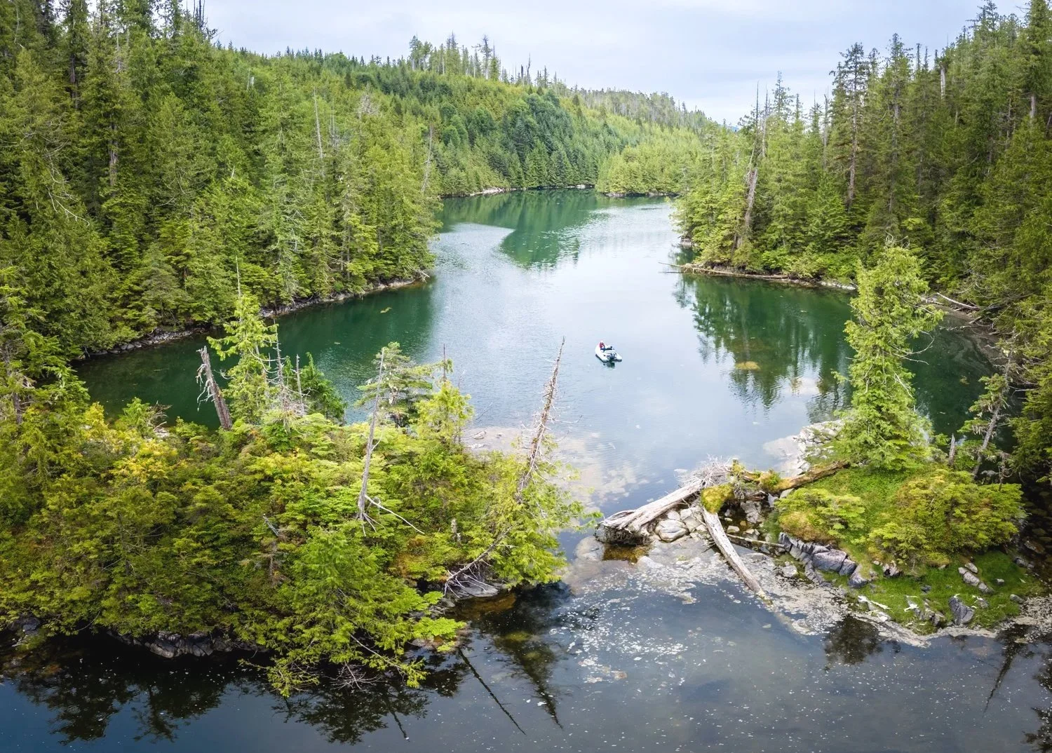
The lagoon to the northwest proved to be the most inviting. Crossing the entrance, we recorded 24 feet of water at a 15.1-foot tide referenced to Barnard Harbour. At the second, non-drying bar, the depth decreased to 13 feet at the same 15.1-foot Barnard Harbour tide. Once inside, the basin opened into a surprisingly spacious and well-protected anchorage. If we return with OceanFlyer, we'd likely favor the upper northwest corner, either anchoring freely or taking a stern line ashore along the steep western shoreline. On our way out, we briefly saw 11 feet, suggesting I hadn't retraced our inbound track quite as precisely as I thought.

as far as we could go into the lagoon

looking back toward the dinghy from the top of the lagoon

The southwest lagoon told a different story. Its entrance has generated considerable discussion over the years, particularly because the route described in the original Douglass & Douglass guide has since been corrected by later cruisers. We followed the updated route, crossing the outer drying bar where we recorded 17.5 feet at an 18-foot tide referenced to Barnard Harbour. The second obstacle—and the point where the updated guidance differs from Douglass & Douglass—is the rock near the center of the channel. Hugging the south shoreline, exactly as recommended, we never saw less than 11.5 feet at the same 18-foot Barnard Harbour tide. The revised route works, but it also confirms just how close you must come to the shoreline before the channel opens up again.

Once inside, we came away with mixed impressions. The anchorage itself is pleasant enough, particularly in the southwest corner where the views open back toward the entrance. For us, however, the reward simply doesn't justify the tension of threading a fifty-foot boat through such a narrow approach. It's certainly navigable—we proved that in the dinghy—but given the choice, we'd happily anchor outside and explore the lagoon by tender.

By the end of our stay, Emily Carr Inlet had quietly exceeded our expectations. It may not receive the attention of some of British Columbia's better-known anchorages, but perhaps that's part of its appeal. We arrived simply looking for somewhere new to spend a couple of nights. We left with another favorite anchorage, a few useful soundings for the next visit, and a better appreciation for one of the coast's lesser-known gems.

Saycuritey Cove to Farrant Island Cove

2026.7.14 – Saycuritey Cove to Farrant Island Cove chat gpt

One of the pleasures of returning to familiar waters is that every visit feels a little different. The destination may be the same, but experience changes the way you see it.

Reluctantly, we bid farewell to Saycuritey Cove, one of the nicest discoveries of this year's cruise, and pointed OceanFlyer toward Farrant Island Cove, a favorite little anchorage tucked just off Peters Narrows.

Peters Narrows isn't particularly intimidating. It is wide, well charted, and carries plenty of water. The only real consideration is the current, which can run briskly during spring tides. Rather than waiting for absolute slack, we often time our passage when the current is around two knots. For us, that strikes a comfortable balance between efficiency and easy boat handling.

The only place that deserves a little extra attention comes at the entrance to the anchorage. If you're approaching with the current on your stern, the ninety-degree turn into the cove arrives more quickly than you might expect. The current has a habit of setting the boat toward the northwest shoreline, so reducing speed early and beginning the turn sooner than instinct suggests makes for a much more graceful arrival.

That is a lesson learned from experience.

On our first visit, I waited just a little too long. The current carried us past the entrance, forcing me to continue upstream, turn the boat around, and make a second approach against the current. It wasn't dramatic—just a reminder that these waters always deserve your attention. This time, armed with that bit of local knowledge, the turn felt almost effortless.

Our previous visit, in June of 2024, rewarded us with a black bear feeding along the shoreline. Returning a month later in the season, the beaches were quiet. The bears had evidently moved elsewhere in search of better dining opportunities.

the view from farrant island cove looking north dowqn union passage

With the anchor securely set, we launched the dinghy to revisit one of our favorite nearby explorations. Just beyond the cove lies a lagoon that is really a lagoon in name only, as the entrance never dries. Inside is a surprisingly expansive basin—large enough that dozens of boats could comfortably anchor if they could make the entrance. On today's 16.6-foot tide at Hartley Bay, we measured 27 feet of water in the entrance, leaving about five feet beneath OceanFlyer's keel. Perfectly navigable with sufficient tide, but for our tastes, the little cove outside remains the more inviting choice. It is smaller, quieter, and somehow feels like it belongs to us alone.

the lagoon northeast of farrant island cove is massive

The second exploration took us up the river directly across from our anchorage. High tide allowed us to make surprisingly good progress in the dinghy beneath a canopy of trees that gradually closed in around us. Eventually, large boulders began narrowing the channel until a natural barricade of drift logs brought our journey to an end. A kayak might slip beyond, but our dinghy could go no farther.

anchored in the dinghy looking back to farrant island cove

the rocks starting to narrow the path up the river

about a far as the dinghy can go

always peacefull to anchor in the river and take in the sights

We turned around without disappointment.

Not every exploration needs to end with reaching the end of the map. Sometimes it's enough simply to satisfy your curiosity, discover another beautiful corner of the coast, and come away already looking forward to the next visit.

Wilson Inlet to Saycurity Cove

Today's destination was Saycurity Cove, another anchorage we had somehow never managed to visit despite passing nearby on previous cruises. Situated just off the well-traveled Principe Channel, it occupies a convenient crossroads while remaining tucked away enough to offer a welcome break from the traffic.

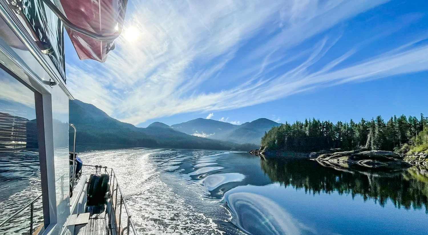
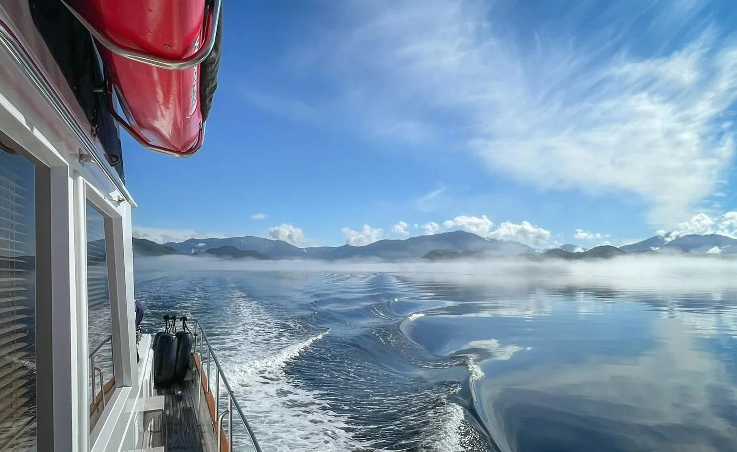
looks like it going to be a good day to travel

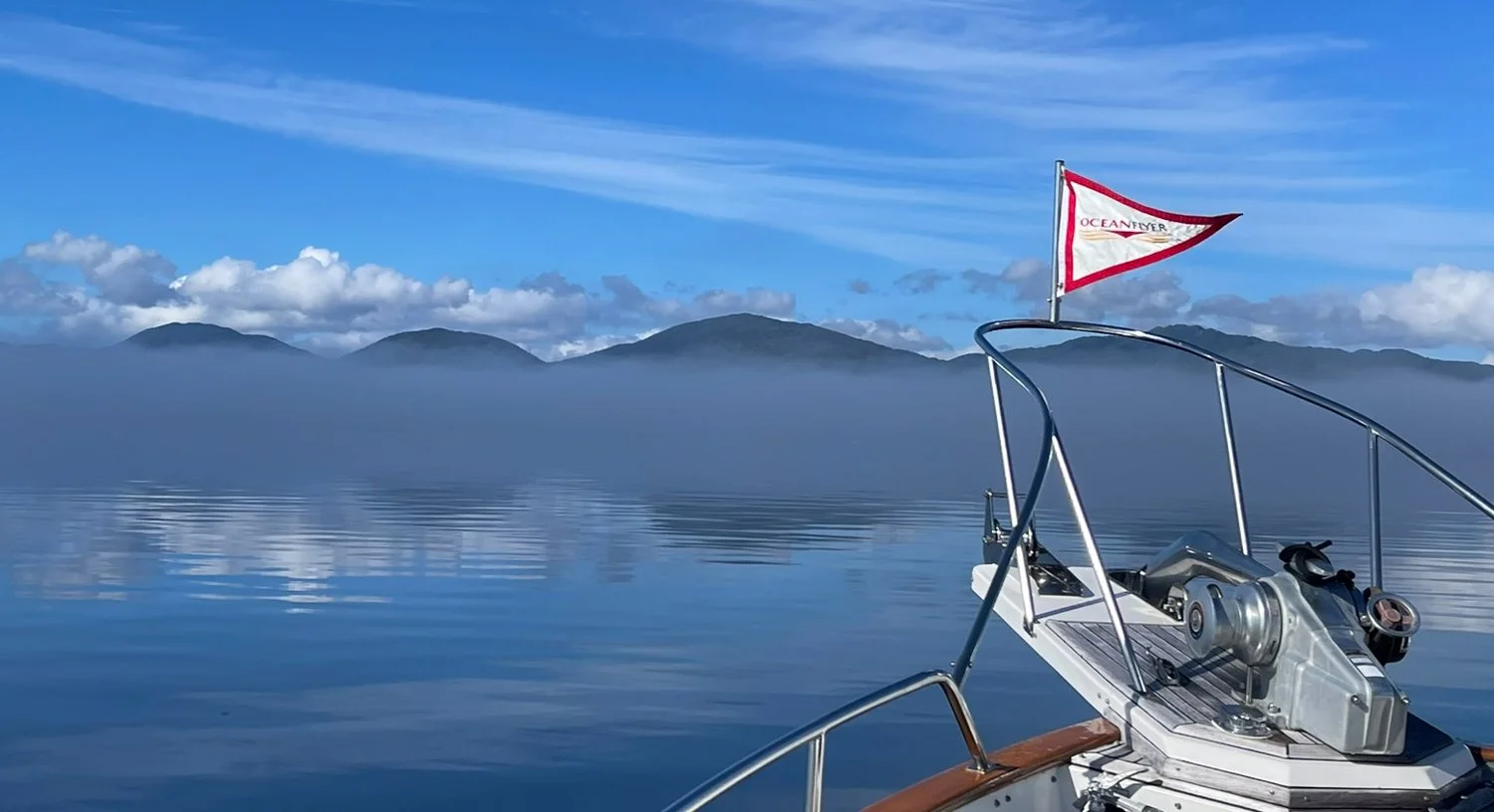
the mountains of campaania island peak out from the fog layer

perfect cruising weather

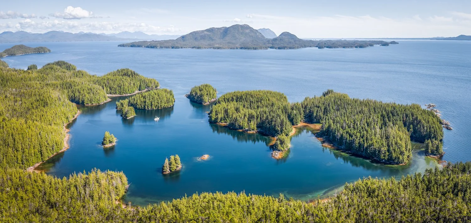
As is so often the case along this coast, the chart understates the size of the anchorage. What appears to be a small indentation opens into a surprisingly spacious basin once you're inside.

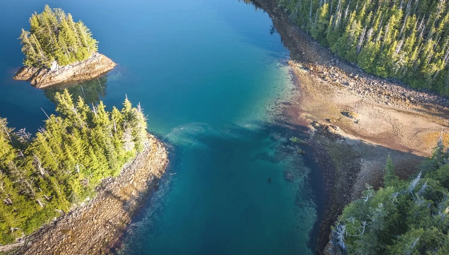
The entrance deserves a little respect. It is somewhat tide dependent, with one shallow section controlling the approach. Crossing it today, we saw a minimum depth of 20.9 feet beneath OceanFlyer's 5½-foot keel on a 15-foot tide referenced to the Block Islands tide station. While that suggests the entrance is technically navigable at lower stages of the tide, we'd still choose to arrive with additional water beneath us. There is little to be gained by cutting the margins too closely when a favorable tide makes the transit straightforward.

the shallow narrow bit at low tide

Once inside, the cove offers room for about four boats the size of OceanFlyer if everyone anchors thoughtfully. The surrounding hills provide excellent protection, yet the anchorage avoids feeling enclosed. Looking south, the view stretches through the drying passages toward Otter Channel, creating an ever-changing scene as the tide rises and falls.

Saycurity Cove looking southeast toward squally channel and gil island

a little care in choosing your spot and you are rewarded with a great anchorage

Perhaps the biggest change today wasn't the scenery but the weather.

Summer has finally arrived.

After weeks of cool temperatures and frequent rain, the afternoon reached a pleasant 68°F, the warmest conditions we've enjoyed since our stop in Shearwater back in early June. A strong high-pressure ridge has settled over the coast, bringing a forecast of calm winds, clear skies, and several days of warm weather.

It is a welcome change, and one we intend to enjoy while it lasts.

just one more image of our day of crusing in perfect summer conditions


Anger Inlet to Wilson Inlet

Before leaving Anger Inlet, we took advantage of the morning's high tide to explore the other arm of the intricate maze of waterways at the head of the inlet.

Steady rain showers persisted throughout the morning, so the drone remained in its case. It was disappointing, as the aerial perspective would have done a much better job of capturing the network of narrow passages, hidden coves, and winding channels than any photograph taken from the dinghy.

Like so many places along this coast, the chart is deceiving. What appears to be a compact collection of waterways unfolds into an extensive area once you're weaving through it in the dinghy. At dead high slack, with little or no current, we found ourselves thinking that several of the coves would actually make viable anchorages for a larger cruising boat.

The only real challenge is the narrow entrance to the inner basin. A sharp 90-degree turn is required immediately after passing through the constricted channel. Water depth is not the issue—the passage is generally deep enough—but the current rarely stops flowing except at true slack water. A dinghy has no trouble making the turn, but a larger displacement boat could easily find itself committed before having enough room to complete the maneuver if any current were still running. With careful timing, however, it is certainly an intriguing place to explore.

With our reconnaissance complete, we returned to OceanFlyer, weighed anchor, and departed on the morning's high water for the short run to Wilson Inlet.

Today's move was more about tomorrow than today.

Our next destination is Saycuritey Cove, where the entrance is best approached on a favorable tide. Positioning ourselves in Wilson Inlet allows us to depart on our own schedule rather than waiting for another high tide at Anger Inlet.

The controlling depth is a small underwater pinnacle near the entrance. It is only a brief section of the route, but one worth respecting. On our previous transit we observed approximately 17 feet beneath OceanFlyer at a 12.6-foot tide as reported at Block Islands. That provides a comfortable margin for us, but at lower stages of the tide the available clearance decreases quickly enough that timing the arrival is simply good seamanship.

Wilson Inlet itself is a broad, open anchorage surrounded by steep forested mountains. We chose the southeast corner, where the chart suggested depths of about 30 feet. Reality, however, was rather different. Like many of the older soundings throughout this region, the chart proved optimistic, and we eventually found suitable holding in 60 feet of water.

looking west from wilson inlet

the white spots are large moon jellyfish

After balancing our scope with our distance from shore, the anchor set firmly on the first attempt. With tomorrow's tide window secured, we settled in to enjoy another quiet evening surrounded by one of British Columbia's spectacular mountain amphitheaters.

sunset in wilson inlet