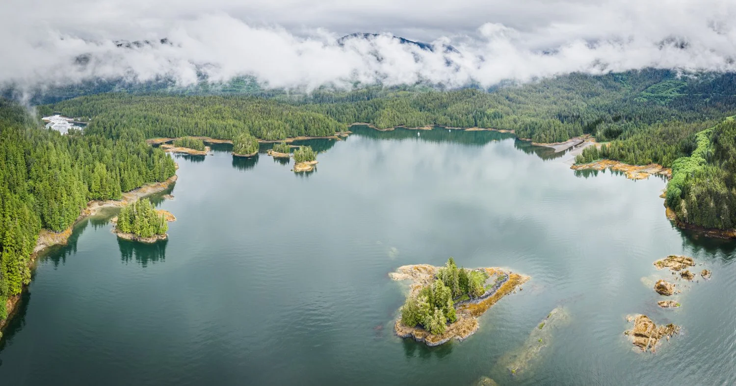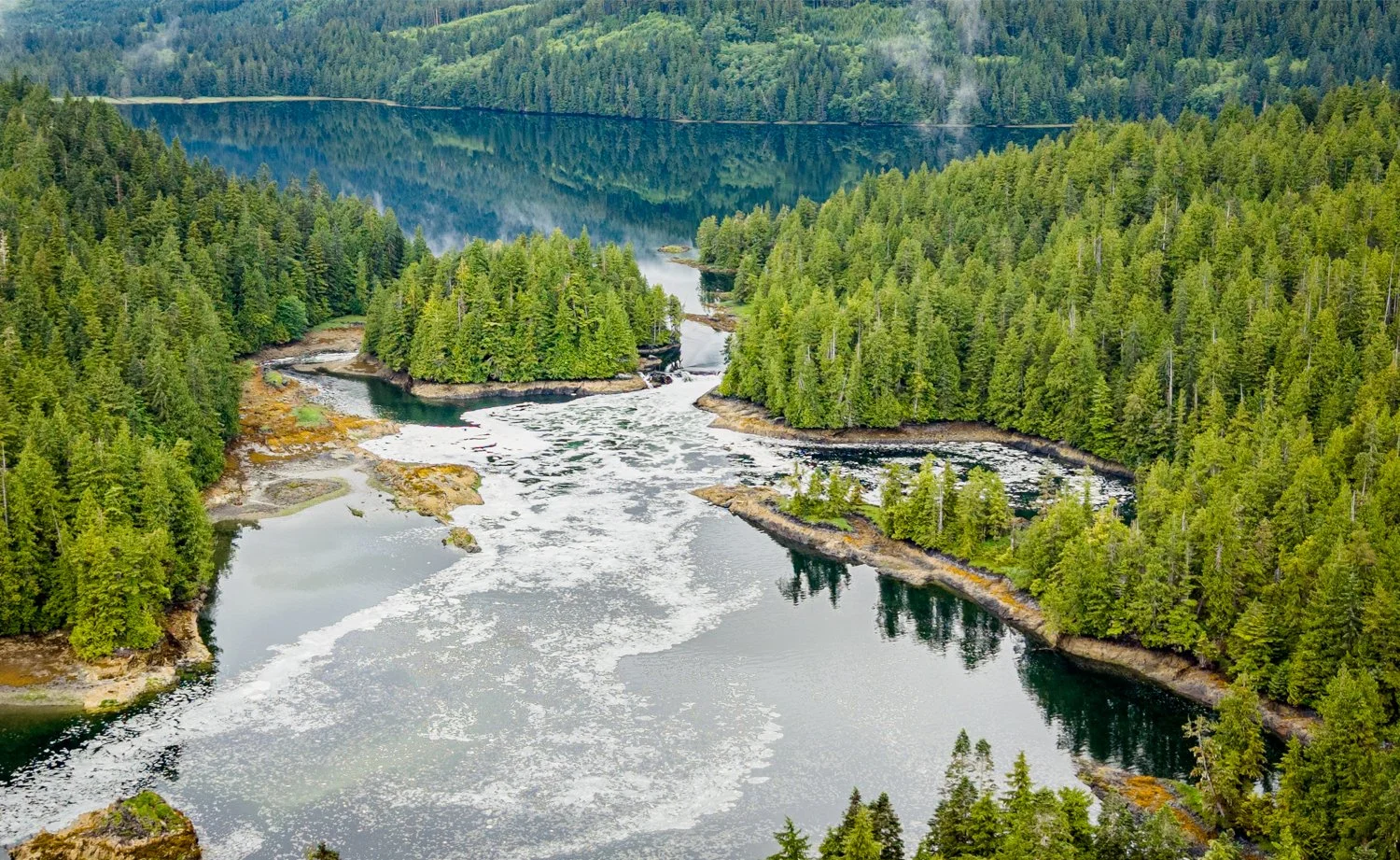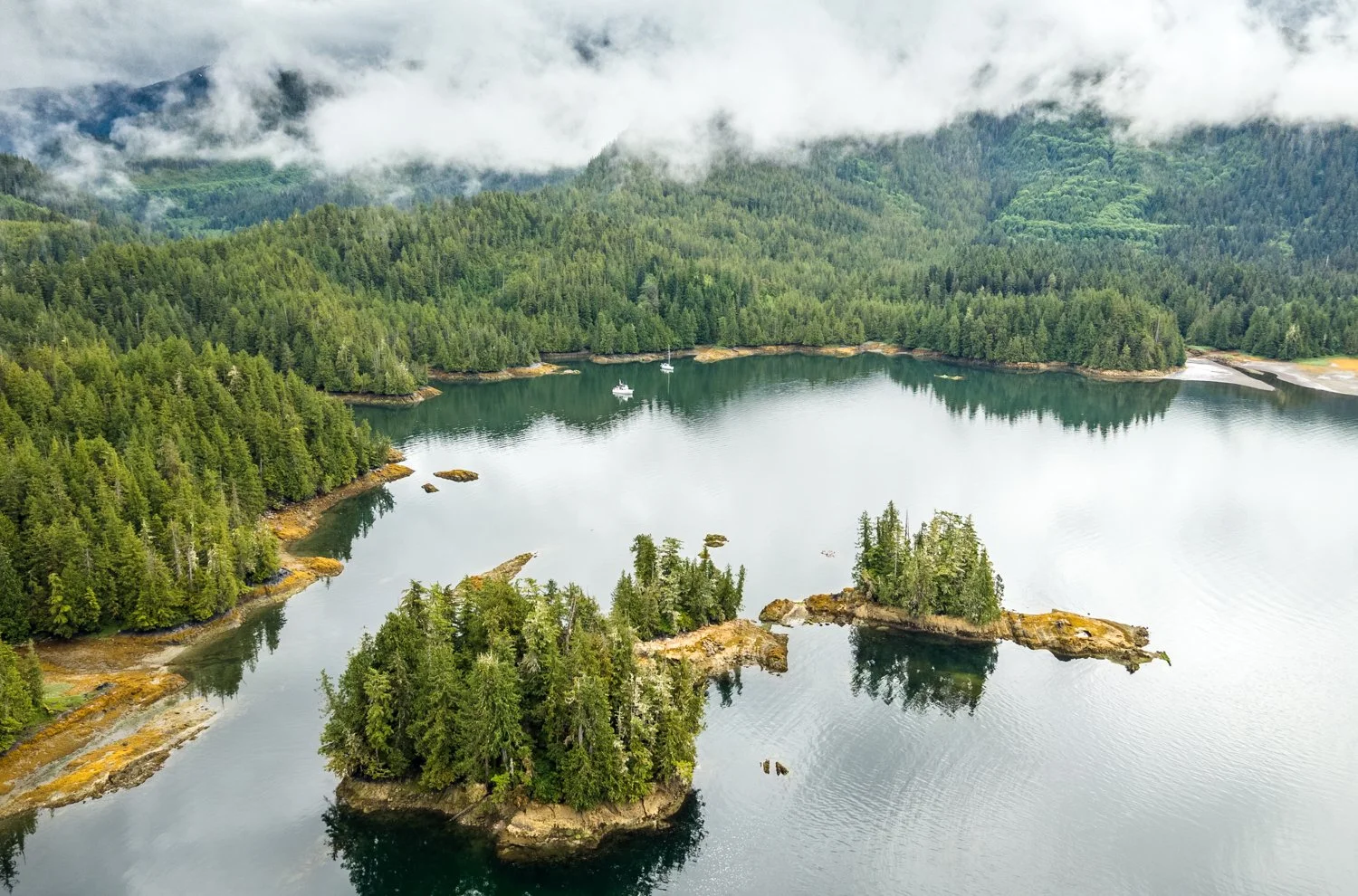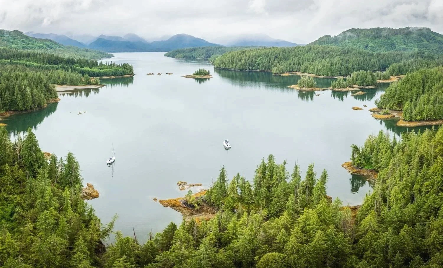
Spicer Islands to Anger Inlet

Some destinations earn a place on the itinerary because everyone recommends them. Others simply spark your curiosity.

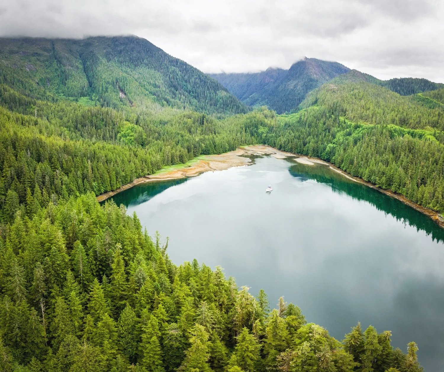
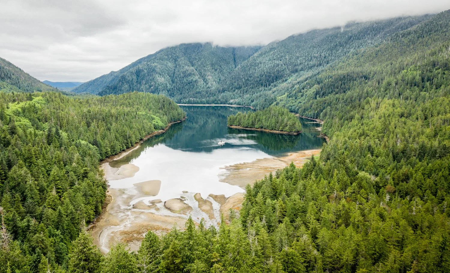
Anger Inlet falls squarely into the second category. It's hard not to smile at a chart that labels one inlet "Anger" and, just around the corner, another "Ire." Fortunately, there is nothing hostile about either the scenery or the navigation. We chose Anger Inlet for one simple reason—we had never been there. Looking at the chart, with its maze of coves, lagoons, islets, and narrow passages, it seemed like the sort of place that rewards exploration.

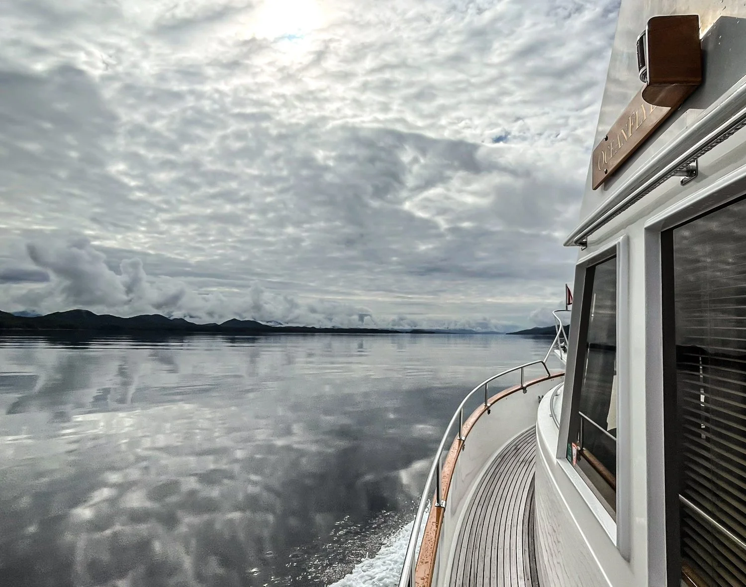
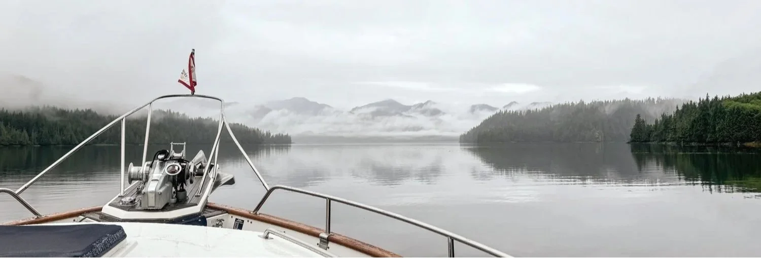
The trip south through Principe Channel was about as pleasant as we could have hoped. Winds rarely climbed above five knots and were often closer to three. Even better, the currents proved favorable despite the forecast suggesting otherwise. Days like these are a gift. With the boat quietly making miles, there's little to do but enjoy the scenery and keep an eye out for whales. They declined our invitation today, but we'll gladly accept calm seas as consolation.
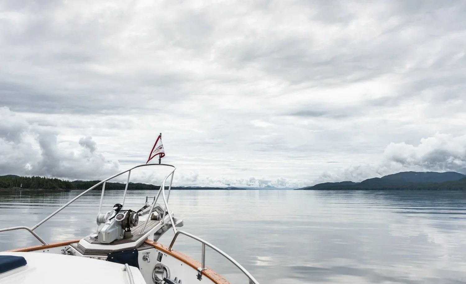
nice ride on a cloudy day
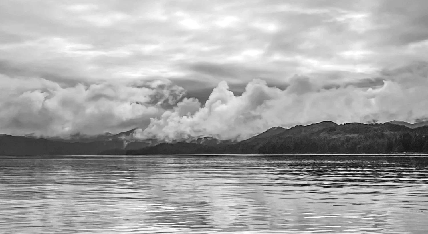
it’s all about the texture of sea and sky

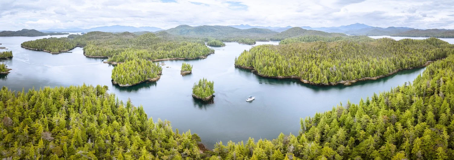
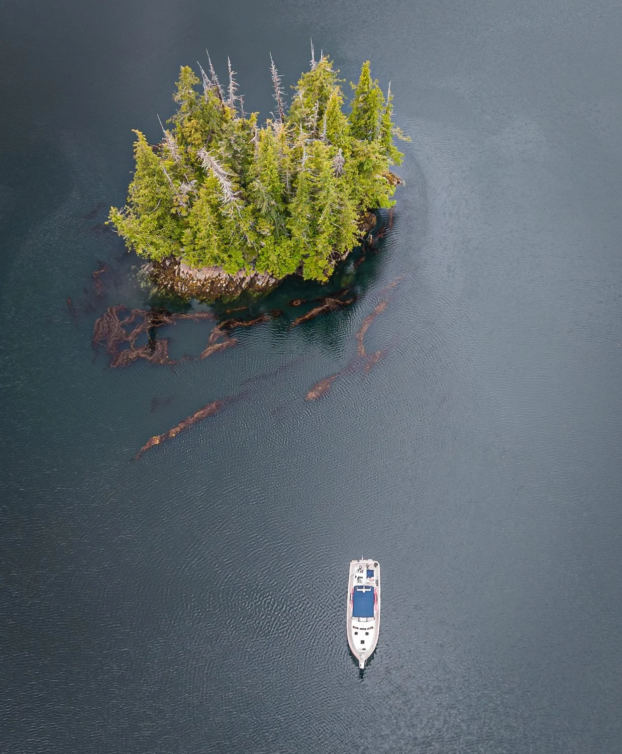
We chose the southeast cove for our anchorage. The approach winds among several drying islets, but the route is well charted. On a fifteen-foot tide, referenced to the Kitkatla Islands, we never saw less than eighteen feet beneath the keel. Looking back, I'll give the inside rock at the ninety-degree turn a little more room next time, but otherwise the entrance was straightforward.

Once settled, we decided to try our luck for spot prawns. Rather than relying solely on the chart, Karen asked ChatGPT to recommend a location. It responded with a specific spot along with a thoughtful explanation of why it looked promising and when it should fish best. We dropped a single pot and then set off to explore while it soaked.

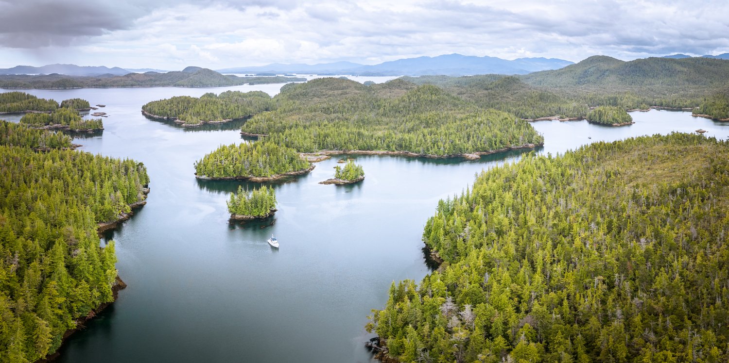
The maze of waterways branching off the main inlet proved every bit as inviting as we'd imagined. Around each bend was another sheltered cove or narrow passage waiting to be explored. The only caution is the tidal current, which can move briskly through the constricted channels. It was no concern for the dinghy, but kayakers would be well advised to time their passage near slack water.
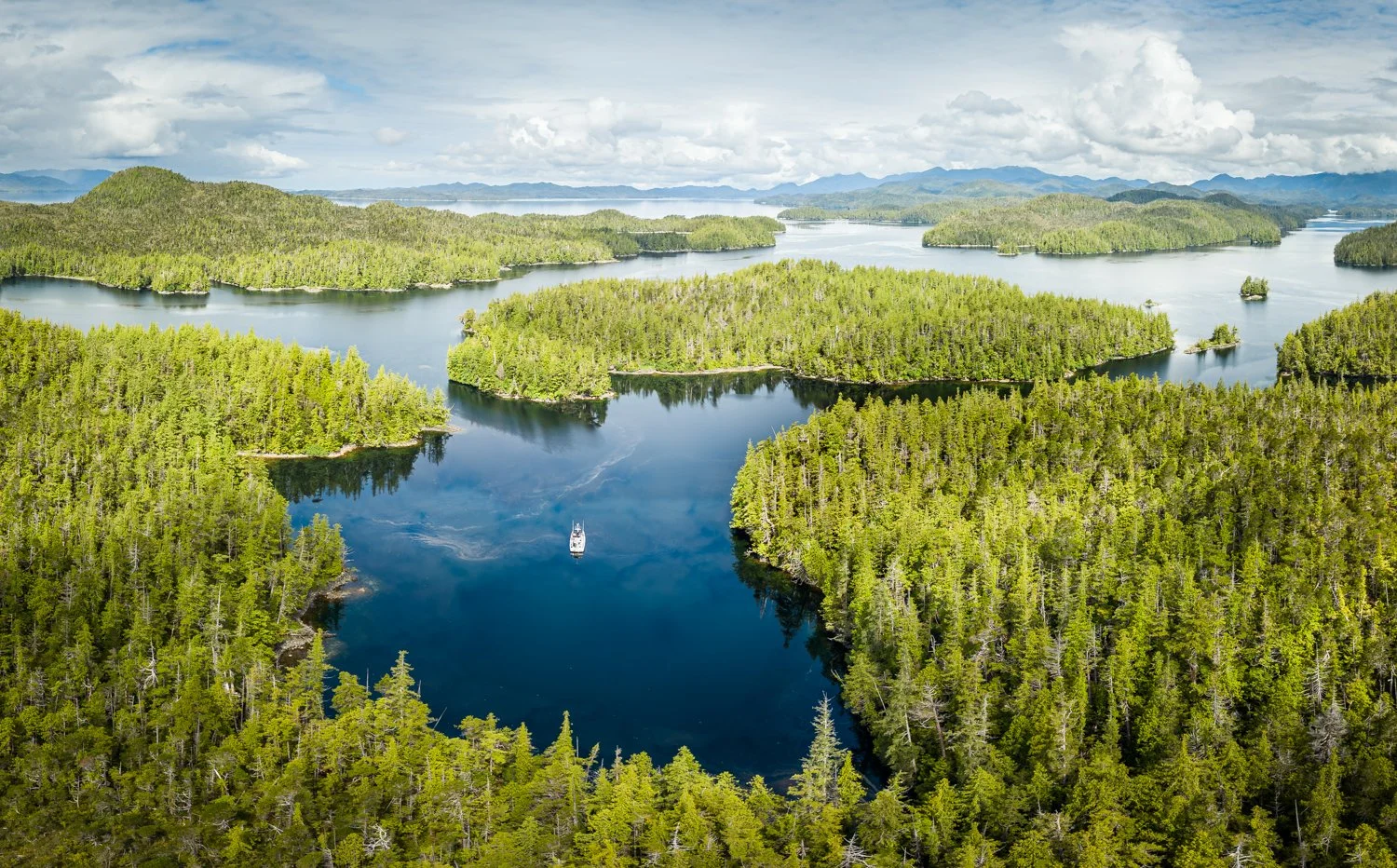
anger inlet is our kind of anchorage

When we finally returned for the pot, the prawns had apparently found somewhere else to spend the afternoon. Not every experiment ends with dinner.

Still, we considered the day a complete success. We discovered another beautiful corner of the British Columbia coast, confirmed that Anger Inlet deserves a far friendlier reputation than its name suggests, and added one more memorable anchorage to our growing list of places we'd happily visit again.
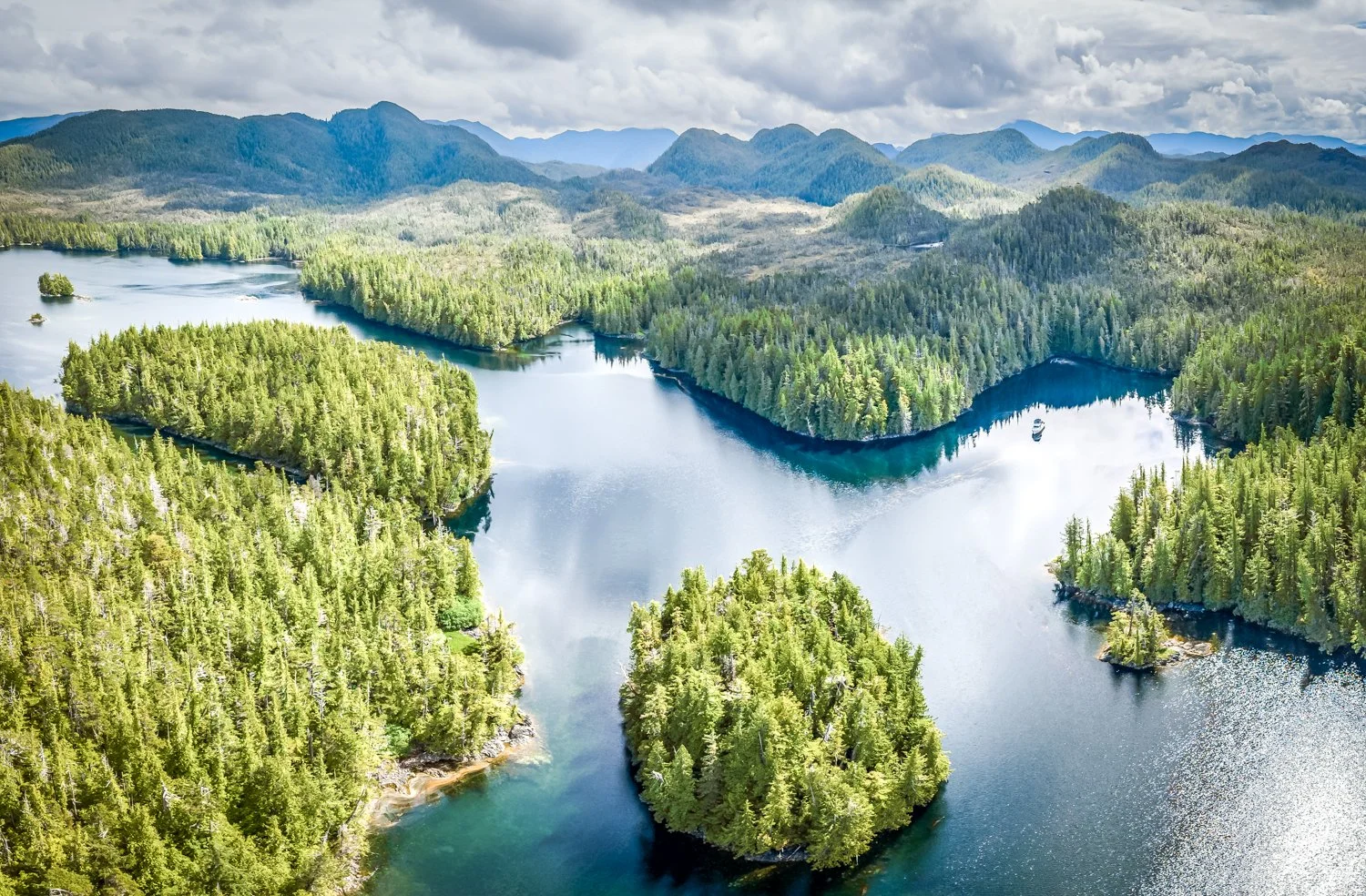
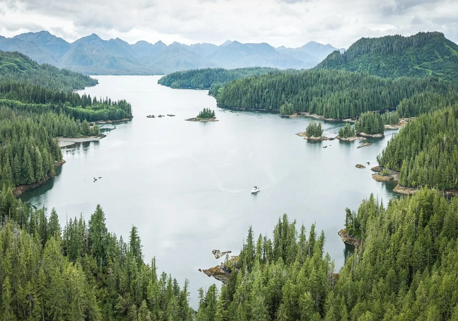
the surrounding geography in anger inlet
Prince Rupert to Spicer Islands

Five days in Prince Rupert accomplished everything we had hoped. The boat was provisioned, projects were completed, and we made time to enjoy the town and its surroundings. But as enjoyable as the visit had been, it was time to trade busy docks for quiet anchorages once again.

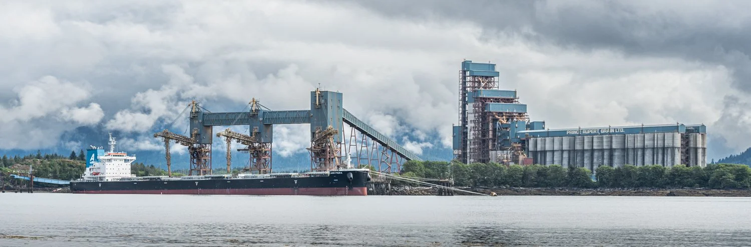
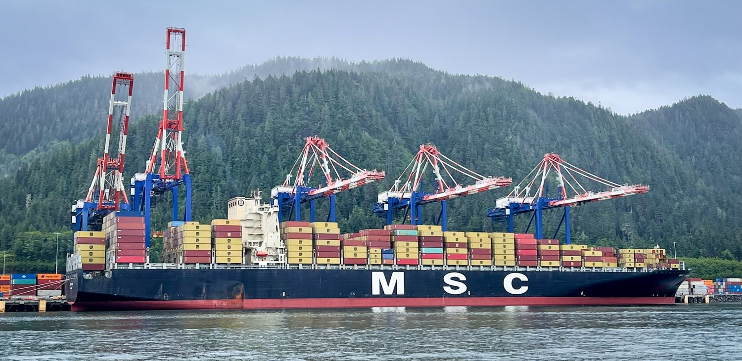
The last of the forecast rain accompanied us as we eased away from the harbor. Passing through Prince Rupert always provides an interesting contrast to the wilderness that surrounds it. Massive grain ships waited their turn at the terminals while container cranes busily loaded and unloaded cargo destined for ports around the world. It's a reminder that this small city is one of Canada's busiest commercial gateways.

the cargo never stops

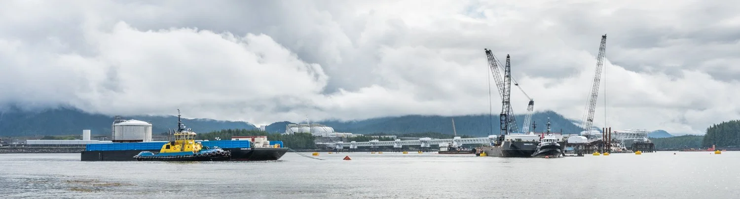
they are still constucting a massive lng terminal that extends half a mile from shore

By the time we reached Marcus Passage, the weather had already begun to improve. The gray skies gradually gave way to brighter conditions, and the traffic shifted from commercial shipping to a steady procession of fishing boats working the eastern shoreline. Everyone seemed to be taking advantage of the same break in the weather.

the sun and clouds are doing battle to see who wins

Our destination was the Spicer Islands, a favorite first stop after leaving Prince Rupert. As we entered the waters separating North and South Spicer Islands, we spotted a lone sailboat tucked into the small anchorage in the northwest corner. We continued a little farther to the southwest cove, where we dropped the hook in 50 feet of water just southwest of the small islet.

spicer islands

great view ferom the spicer island anchorage

It's an anchorage that perfectly suits our tastes. The cove is compact enough to feel sheltered and secure, yet open enough to preserve beautiful views to the west and northeast. As evening settled over the islands, the bustle of Prince Rupert already felt a world away. Once again, we found ourselves surrounded by the quiet that has become one of the greatest rewards of cruising this remarkable coast.

safe and snug at spicer island


Kumealon Inlet to Prince Rupert

It is time to head to the big city—or at least what passes for a big city along this stretch of the British Columbia coast.

peaceful journey to prince rupert

Prince Rupert is the commercial heart of northwest British Columbia. Grain from the Prairies, containers from around the world, natural resources from the interior, and bulk cargo of every description all converge here before heading across the Pacific. Unlike so many coastal communities that exist because of the water, Prince Rupert exists because it connects the water, the railways, and the highways.

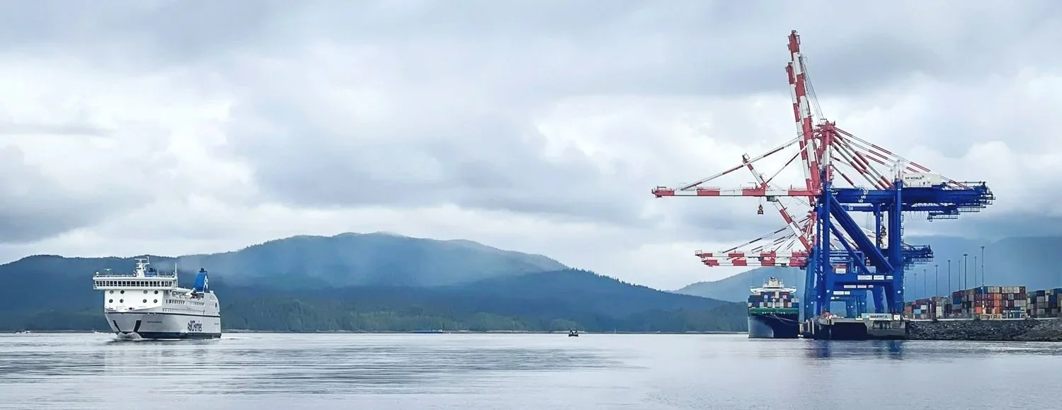
Long before arriving, the city's industrial skyline announces itself. Towering container cranes rise above the harbor, grain terminals dominate the waterfront, and the endless maze of docks, conveyors, rail lines, and cargo facilities stretches for miles along the shoreline.

cranes and ferries. you know your approachig price rupert.

grain is a major export at price rupert

Boaters get an extended tour.

Beginning near the Fairview Container Terminal, the speed limit drops to five miles per hour for the remainder of the trip into Cow Bay and the Prince Rupert Rowing & Yacht Club. It makes for a leisurely approach, but also provides a front-row seat to one of Canada's busiest working ports.

Under low ceilings, with light winds and a favorable current pushing us from astern, we made our slow approach into Prince Rupert and settled into our slip.

Like many cruisers, we initially viewed Prince Rupert as a place to provision, complete a few repairs, and then continue north or south.

This visit changed that perspective.

We planned to spend three days here taking care of the usual cruising chores—buying groceries, tackling a few boat projects, and giving the chef a well-deserved break from preparing dinner every night.

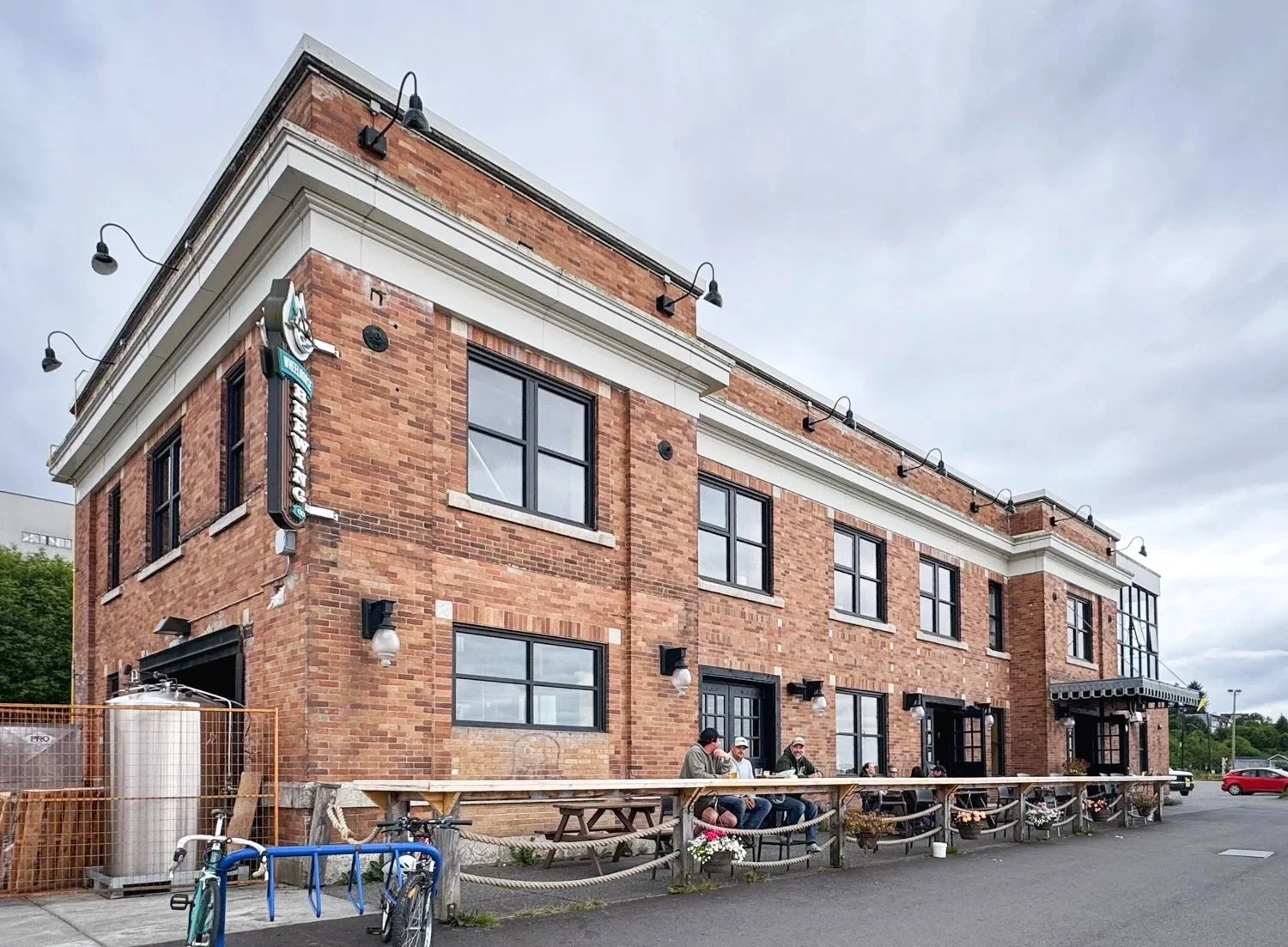
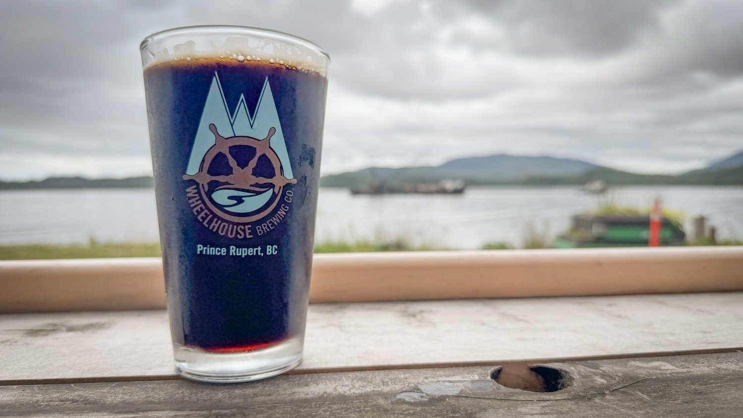
wheelhouse brewing is an easy walk from the harbour

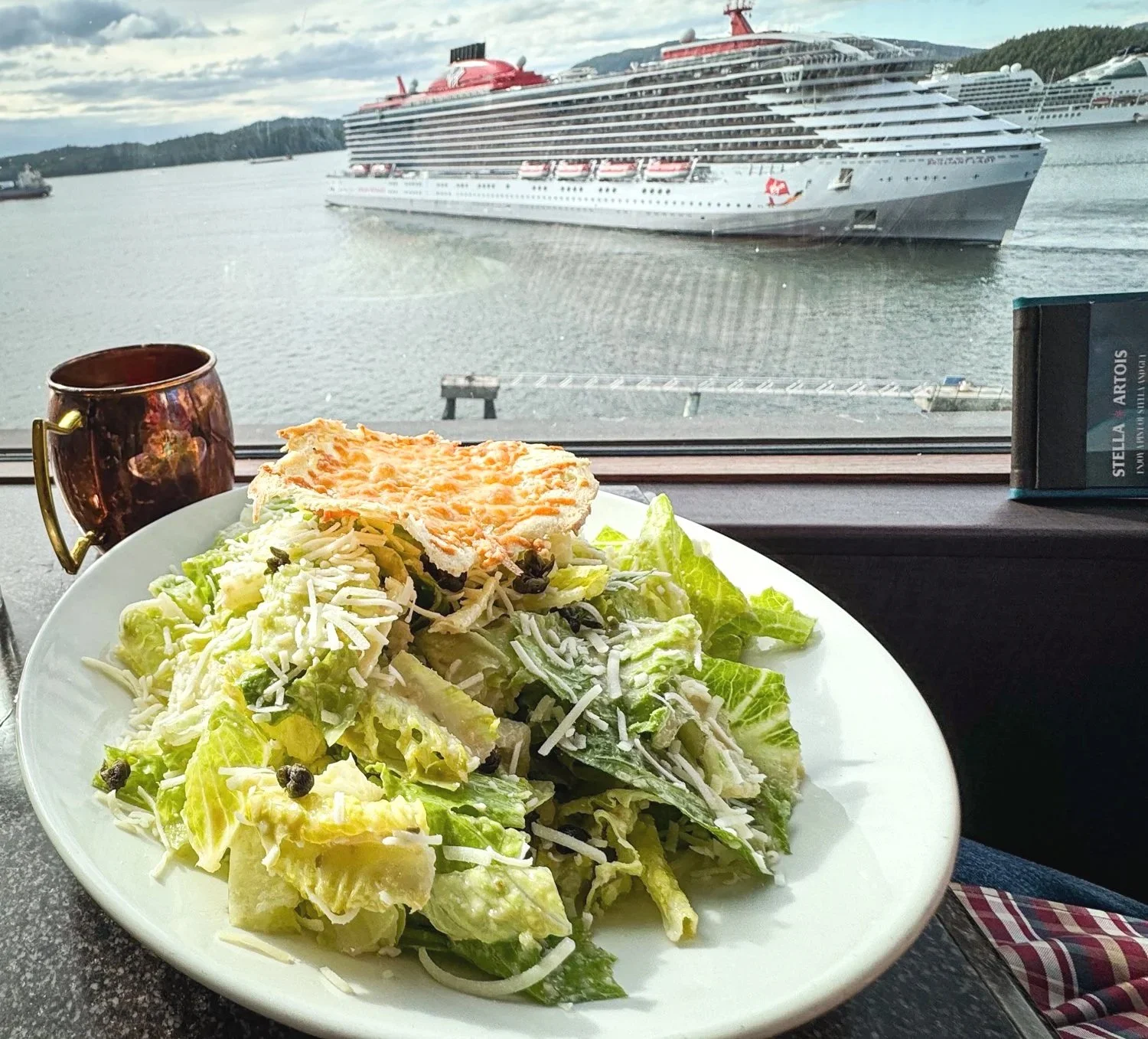
beer and pizza as we watch the tugboats in prince rupert

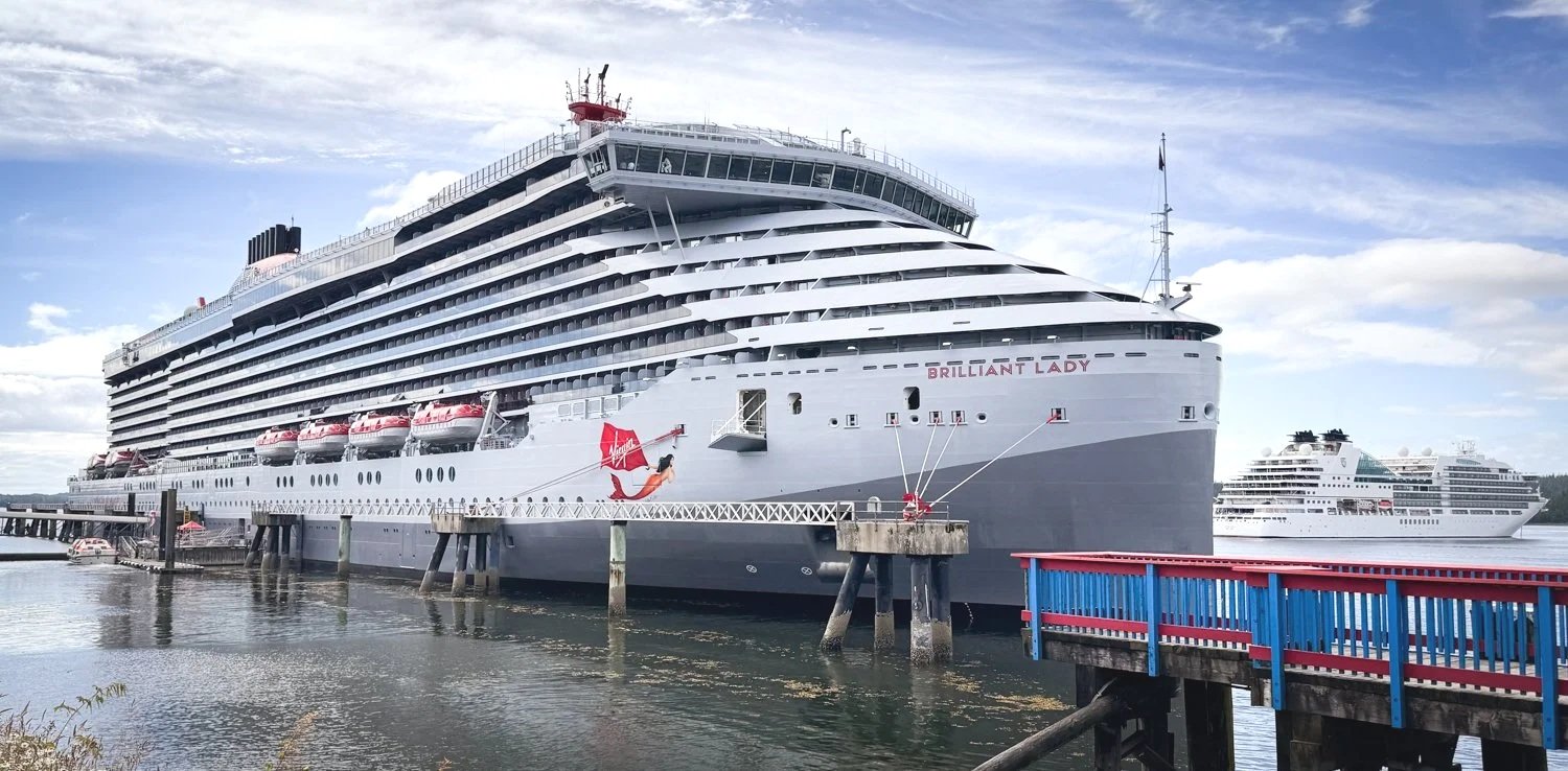
virgin cruises lands her new vessel in prince rupert

Knowing that rain was in the forecast and that our to-do list was ambitious, we rented a car.

It turned out to be one of the best decisions of the trip.

Having a car transformed our stay. Instead of limiting ourselves to whichever grocery store happened to be within walking distance, we could compare several markets in search of the freshest produce and best selection. Dinner options expanded as well, allowing us to enjoy meals at Arabisk and OV Burger without a long walk through the rain.

The greatest surprise, however, lay ninety miles inland.

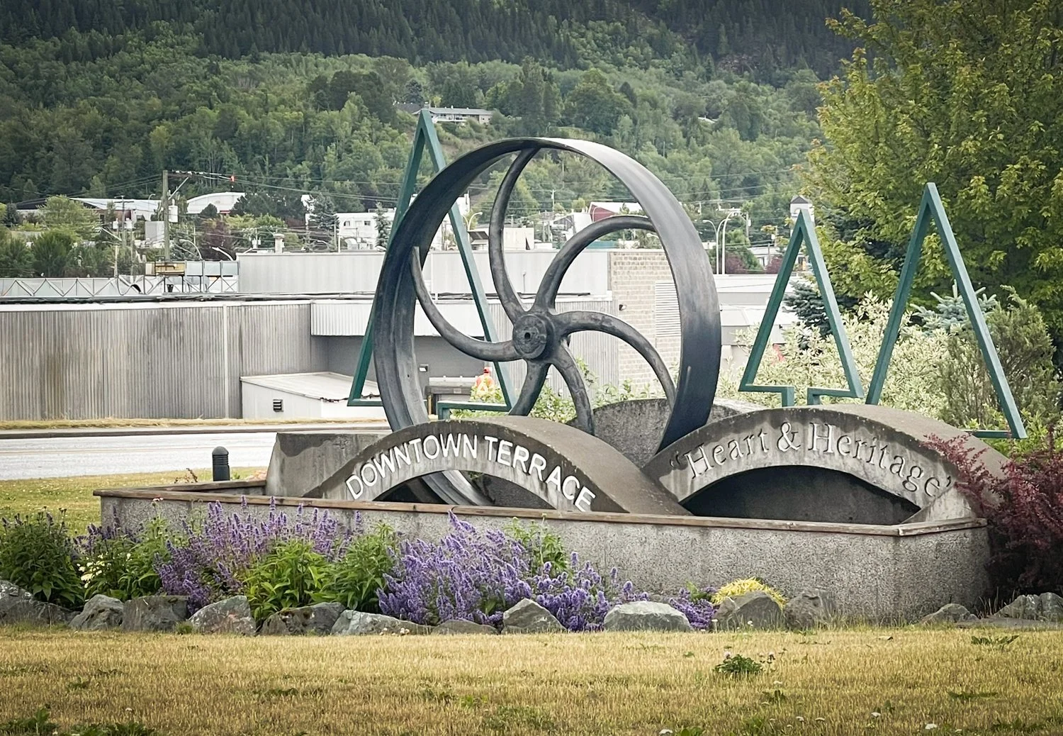
Terrace serves as the transportation hub for much of northwestern British Columbia. It has a completely different personality than Prince Rupert. Rail yards, highways, and industrial facilities replace the waterfront atmosphere, all supporting the movement of goods and natural resources between the coast and the interior. It even boasts something we hadn't seen in quite a while—a Walmart.

terrace is very different than prince rupert and proud of it

As interesting as Terrace itself was, the drive there proved to be the real attraction.

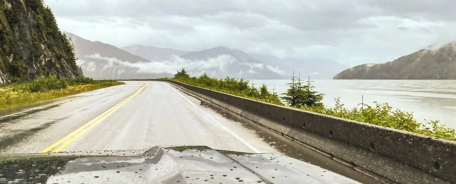
Highway 16 follows the Skeena River through one of the most spectacular valleys on the West Coast. The road twists between towering mountains while the river constantly changes character, sometimes broad and tranquil, other times confined between steep canyon walls. Every few miles another postcard view appears around the next bend.

The weather wasn't ideal. Low clouds drifted among the mountain peaks, revealing and concealing the landscape in equal measure. Even so, the scenery was captivating. In fact, if we return to Prince Rupert with a clear forecast, we'll gladly make the drive again simply for the views.

it’s impossible to capture the grandeur od the drive from prince rupert to terrance

Lunch took us to Don Diego's, a Mexican restaurant widely regarded as one of Terrace's best. Since we had already made the ninety-minute drive, we decided to continue another twenty minutes to Kitselas Canyon National Historic Site.

That extra drive was well worth it.

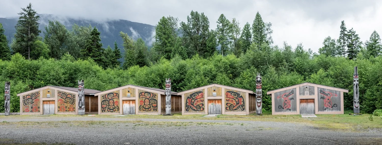
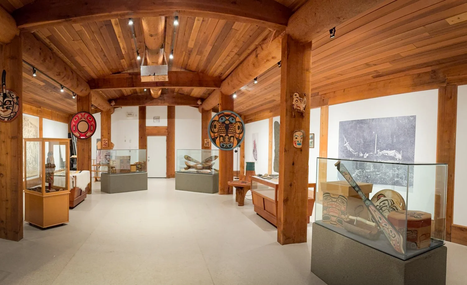
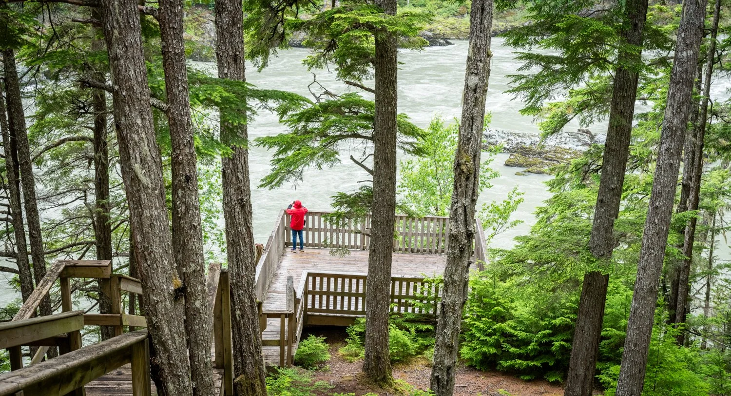
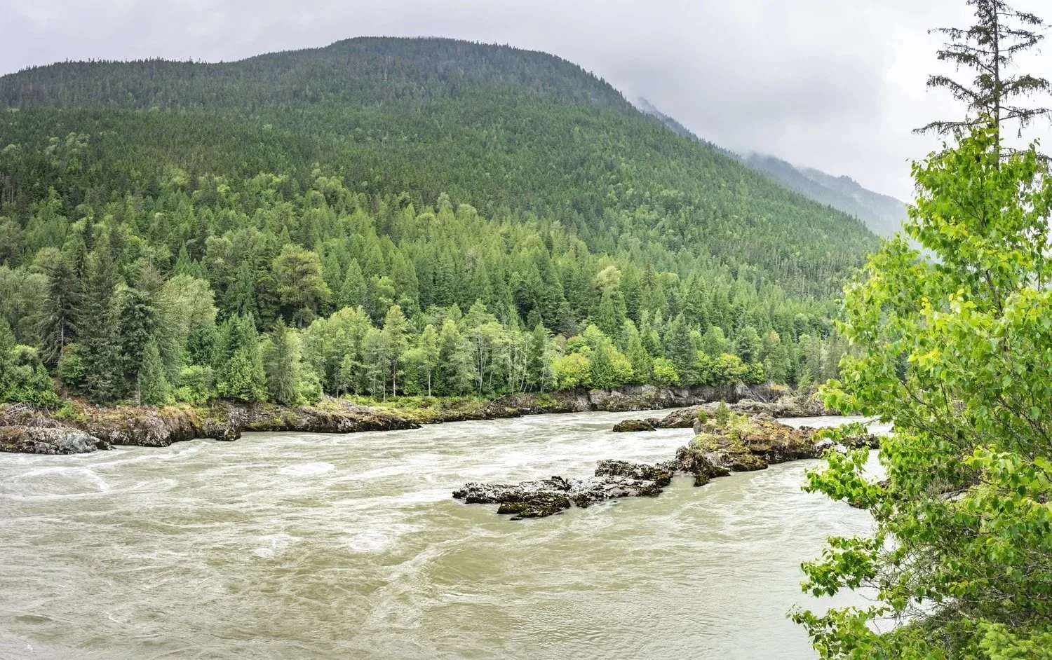
The recently expanded interpretive center features a beautifully constructed longhouse and exhibits that tell the story of the Kitselas people, whose history along the Skeena River stretches back thousands of years. A short trail leads to an overlook where the river narrows dramatically as it enters the canyon. Standing there, it is easy to understand why this location was so important—not only to the Indigenous communities who lived and traded here, but later to the paddlewheel steamers that carried passengers and freight along the Skeena during the region's early development.

Kitselas longhouse exhibits

one of four long houses showcasing the facinating hisotry of this region and her people

overlook at the bend in the skenna river

hard to believe they managed to travel the skeene river in paddlewheel boats

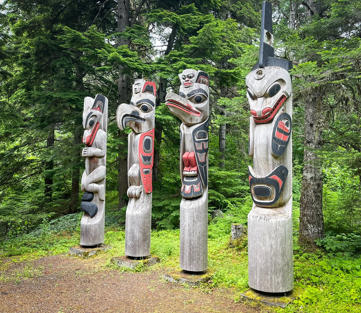
recently added totems along the walk to the skeene river

Back in Prince Rupert, the remaining days were filled with the practical side of cruising. Sea Sport Marine once again proved to be an excellent source for boat parts. Saltwater Bakery supplied both sweet and savory treats that somehow disappeared far too quickly. Dinner at the Crest Hotel's Waterfront Restaurant was excellent, but on this trip we discovered the adjacent Charley's Lounge. Sharing the same menu in a more relaxed setting, it quickly became our favorite of the two.

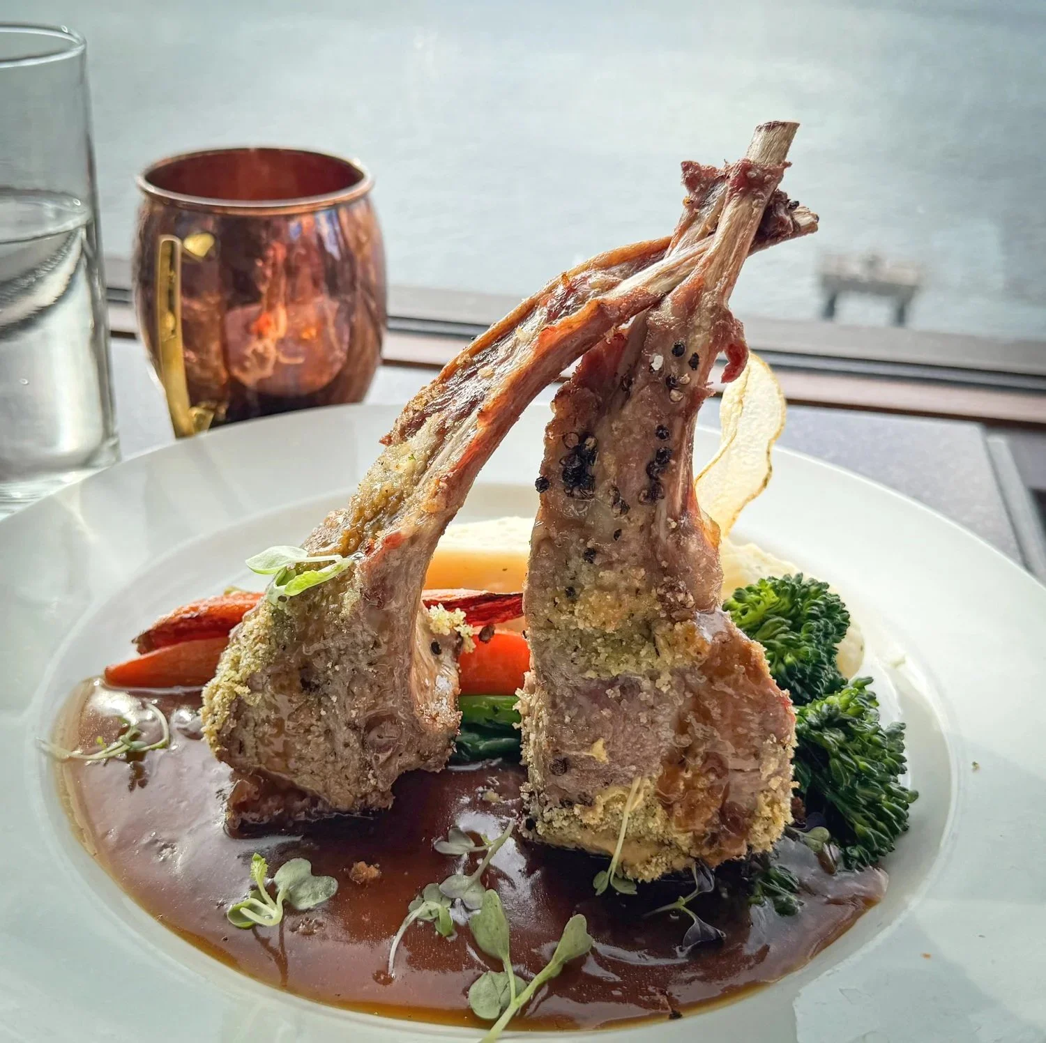
dionner at the Crest Hotel's Waterfront Restaurant is always a treat

rack is lamb is my go to meal at the crest hotel

As we cast off three days later, we found ourselves looking at Prince Rupert differently than we had on arrival.

rushbrrok trail is a nice walk NE and not far from the marina in prince rupert

Sometimes a port is simply a place to buy groceries, repair the boat, and wait for weather.

Sometimes it's worth slowing down, renting a car, and exploring beyond the marina.

Prince Rupert reminded us that some of the most rewarding days of a cruising season happen after you step off the boat.

Baker Inlet to Kumealon Inlet

Today’s run is an easy one. At just an hour and a half, nearly a third of the trip is spent simply reaching Watts Narrows in time for low-water slack before continuing south.

Before raising the anchor, I took my usual look at MarineTraffic to see who else was moving along the coast. Two familiar names immediately caught my attention—Mark Zuckerberg’s yacht, Launchpad, and its support vessel, Wingman, were making their way north through Grenville Channel. We thought there might be a chance of seeing them underway.

By the time we reached Grenville Channel, however, another look at AIS revealed that both vessels had dropped anchor in Klewnuggit Inlet. We had just missed them.

Too bad. We would have invited them over for happy hour. That’s what cruisers do.

Kumealon Inlet appears surprisingly exposed when viewed on the chart, but looks can be deceiving. Once anchored in the northeast corner, the surrounding shoreline provides a comfortable sense of protection while still leaving expansive views back toward Grenville Channel. It’s one of those anchorages that feels much better in person than it does on paper.

kumealon inlet is an easy detour off of grenville channel

The inlet’s signature attraction is the massive lagoon tucked behind the anchorage. Access is possible only near high-water slack. At every other stage of the tide, an impressive waterfall pours across the entrance, creating a natural barrier that leaves little doubt about who is in charge.

the large lagoon is awating in the NE corner of kumealon inlet

not to time to enter the lagoon

For us, Kumealon serves another purpose.

Tomorrow is Independence Day in the United States, and many cruisers will be gathering in Prince Rupert for the holiday. Rather than join the rush, we’ll let the crowds come and go before heading into town ourselves. Once there, we’ll provision with fresh produce, restock a few staples, explore the town, and enjoy some of the local restaurants.

on the second day we were joined by a sailboat in kumealon inlet

looking west out to grenville channel

Sometimes the best cruising strategy is simply letting everyone else go first.


Klewnuggit Inlet to Baker Inlet

Happy Canada Day.

While many of our fellow cruisers are gathering in nearby towns for parades, celebrations, and tonight's fireworks, we're headed in the opposite direction. One of the joys of cruising this coast is that solitude is never very far away if you're willing to leave the crowds behind.

After spending three days troubleshooting the watermaker and replacing the seawater pump on our 9 kW generator, we're more than ready for a change of scenery. Baker Inlet has always been one of our favorite retreats, and today it promises exactly what we've been missing—quiet water, towering mountains, and the chance to relax instead of turning wrenches.

The defining feature of Baker Inlet is Watts Narrows, the narrow gateway leading into the four-mile-long inlet. The passage twists through a series of sharp bends, including a blind corner near the northeast end, making a securité call essential before entering from either direction. Although the water is deep, the channel is so narrow that meeting another vessel in the narrows would be difficult and, in places, nearly impossible.

Like so many passages along the British Columbia coast, timing is everything. Watts Narrows is best transited at slack water, which conveniently coincides with the high and low tides at Prince Rupert.

The current deserves respect. During large spring tides it can exceed six knots, and the 0.6-meter drop across the narrows creates standing boils and swirling water along the rocky shoreline. Even though we arrived close to slack, the surface still betrayed the powerful forces moving beneath it. It is an impressive reminder that the calmest-looking passages often demand the greatest respect.

Once through the narrows, the world changes almost instantly. The water settles, the mountains close in, and Baker Inlet becomes a place of complete tranquility. There are several places to anchor, but we always find ourselves drawn to the head of the inlet, where broad alluvial flats stretch out beneath steep mountain walls. It is a peaceful setting that never seems to lose its appeal, no matter how many times we return.

oceanflyer anchored at the head of baker inlet

baker inlet is a very special place just off grenville channel

Of course, scenery isn't the only reason we come.

Baker Inlet has earned a reputation aboard OceanFlyer for producing some of the largest spot prawns we've found anywhere on the coast. Every visit begins with high expectations and freshly baited traps.

This year, however, the prawns had other ideas.

Our catch was respectable but nowhere near the harvests we've enjoyed in previous seasons. We brought aboard enough beautiful spot prawns to enjoy as appetizers over three dinners, but the freezer will remain noticeably lighter than we'd hoped. That's part of cruising this coast. Every season writes its own story. Some anchorages reward you with spectacular sunsets, others with overflowing prawn traps, and a few simply offer the luxury of complete silence.

On Canada Day, Baker Inlet gave us that last gift—and after the past few days of repairs and troubleshooting, it was exactly what we were looking for.