Cameron Cove to McMicking Inlet

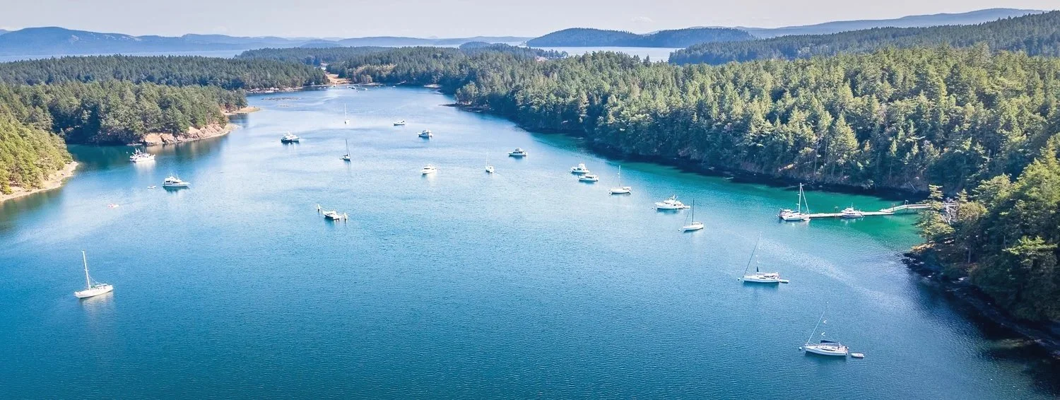
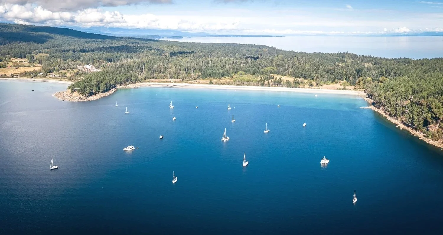
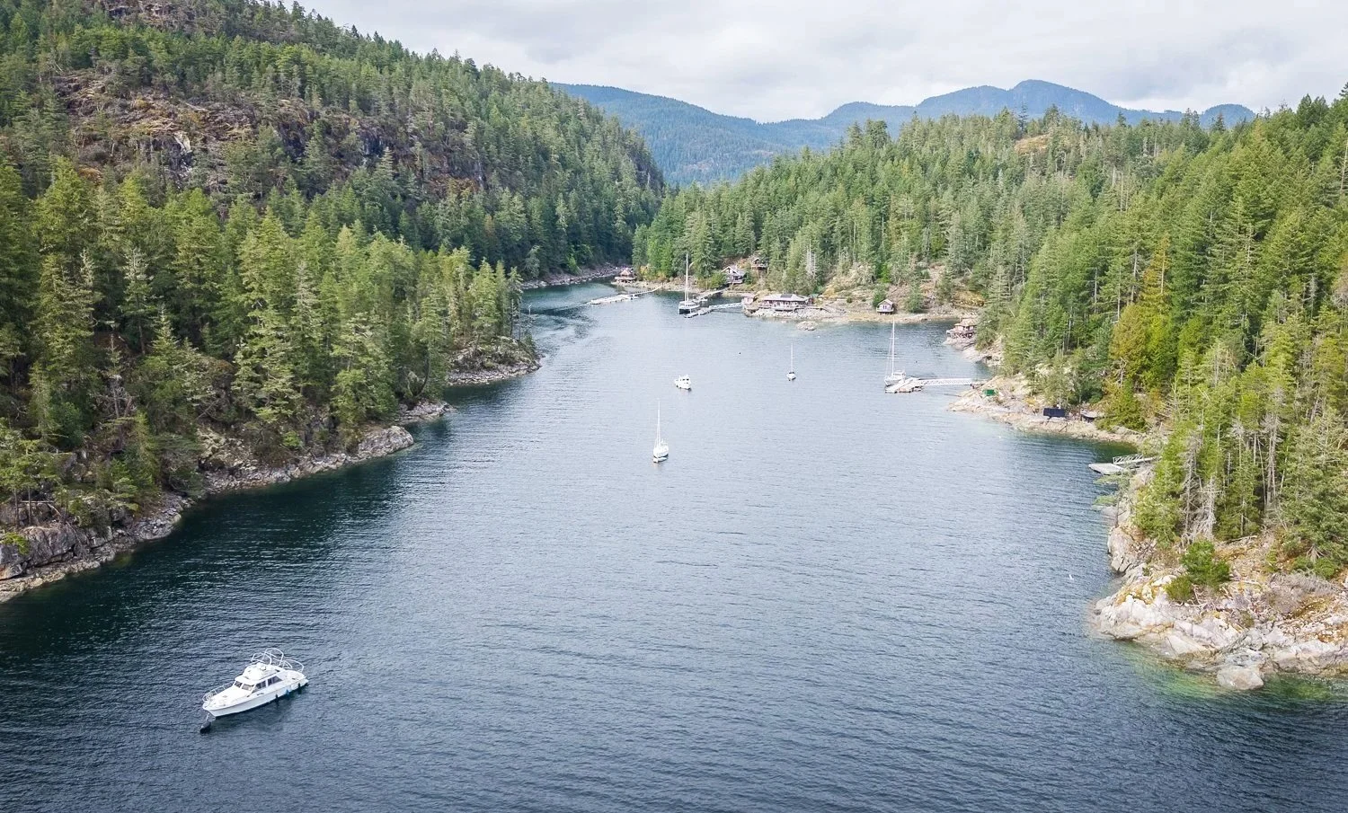
Today we're bound for one of our favorite stops on British Columbia's central coast—McMicking Inlet on Campania Island. Every time we visit, we wonder why it isn't talked about more often. The inlet offers excellent protection, miles of shoreline to explore, and one of the finest beaches we've found anywhere on the coast. It's equally enjoyable by dinghy or kayak.

The entrance is straightforward. The channel is well charted, and although it narrows in places, the west side is steep-to, leaving little concern about depth.

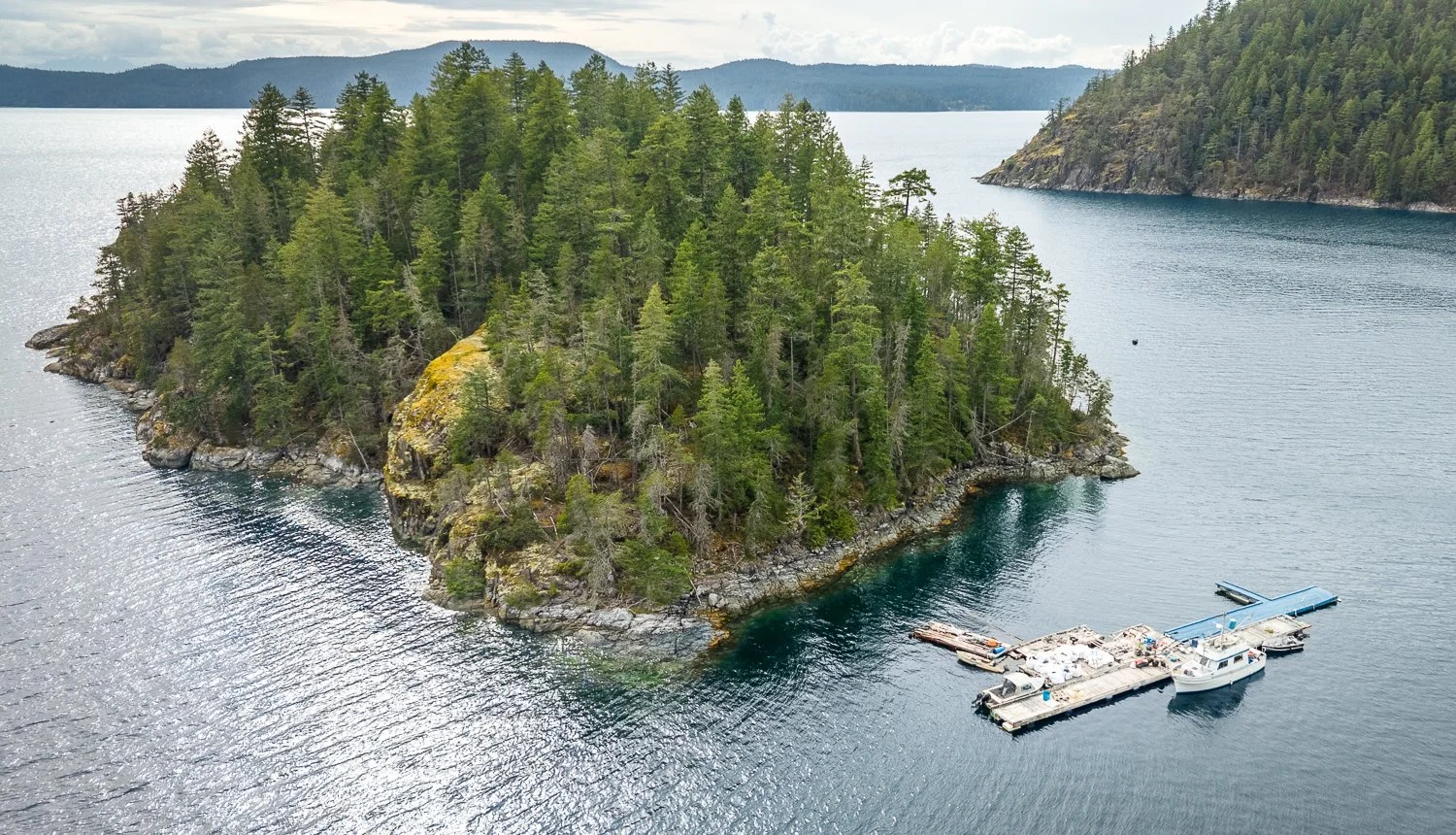
The stretch south from Cameron Cove continues the run of remarkably calm weather we've been enjoying. Even the brief exposure to Pacific swell as we rounded the southern tip of Campania Island was gentle. From offshore, the island is unmistakable, its rugged granite peaks rising almost bare from the sea and giving it a striking, wild appearance.

the mountains of campania ilsand are bekoning us again for afar

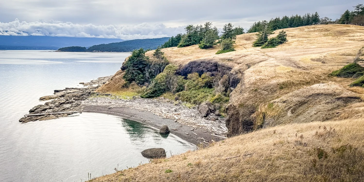
By afternoon we were walking the broad beach that draws us back to McMicking time and again. Since our last visit, someone had constructed a substantial driftwood windbreak for kayakers camping ashore. Nearby, the Lax ka'gass/Campania Conservancy has installed a bear-resistant food storage locker for campers, along with a supply of neatly stacked firewood—a thoughtful addition for those spending the night.

the largest, but one of many, beaches in mcmicking inlet

industrious kayakers built themselves a nice windbreak for camping

new bear proof food storage container on mcmicking beach

The following morning we returned with a better understanding of the tides. We landed about 40 minutes before the 6.68-foot low tide at Bloch Islands and stayed for roughly an hour, departing about 25 minutes after low water. It proved to be an ideal window. The tide bottoms out gradually, giving plenty of time to enjoy the beach without rushing. Arriving 30 minutes earlier—or leaving 30 minutes later—would still be comfortable. During longer visits, you may need to adjust both your shoreline and your Anchor Buddy once as the tide changes. Our preferred landing spot was about 50 yards south of the pair of small rocks near the middle of the beach.

holding the dinghy in place using a shore lne and an achor buddy anchor

As we headed back toward OceanFlyer, Karen spotted movement along the tree line.

A wolf.

I eased the dinghy toward shore and stopped in just two or three feet of water, about 50 feet offshore. We expected nothing more than a fleeting glimpse before it disappeared into the forest.

Instead, the wolf slowly worked its way toward us.

sea wolf on the beach st mcmicking inlet

Karen admitted she was becoming a little uneasy, but it quickly became clear that we were not the focus of its attention. It was hunting. Methodically working the shoreline, it dug among the rocks and sand in search of whatever the falling tide had left behind. Occasionally it would pause and glance in our direction, but we were little more than curious observers as it continued its search for food.

no question who is the king of this beach

Over our previous two visits we'd found fresh wolf tracks on these beaches, but never imagined we'd encounter one of British Columbia's elusive coastal sea wolves.

wolf tracks in the sand

It was one of those unforgettable wildlife moments that makes every mile of the journey worthwhile.

Still riding the excitement of the encounter, we continued to the head of McMicking Inlet to explore its smaller coves and beaches. As we idled through the maze of little inlets, something unusual caught my eye just beneath the surface.

At first I thought it was a small snake.

Then perhaps an eel.

Back aboard, Karen did a little research and identified it as a juvenile pelagic wolf eel—a remarkably uncommon sighting. To witness both a coastal sea wolf and a juvenile wolf eel on the same afternoon felt almost impossible.

our favoriate cove in mcmicking inlet

looking west toward estevan sound

Some days on the water are memorable because of where you go.

Others become unforgettable because of what nature decides to share.

there is noplace like mcmicking on campaia island


Khutze Inlet to Cameron Cove

After several memorable days in Khutze Inlet, we weighed anchor and made the short run over to Cameron Cove. Unlike many places along this coast, it was new territory for us, which is reason enough to visit.

Cameron Cove is not what most cruisers would consider a destination anchorage, but it has plenty going for it. The bay is large, well-protected, and offers numerous areas with suitable depths and good holding. It makes an excellent staging or layover stop while exploring this part of British Columbia.

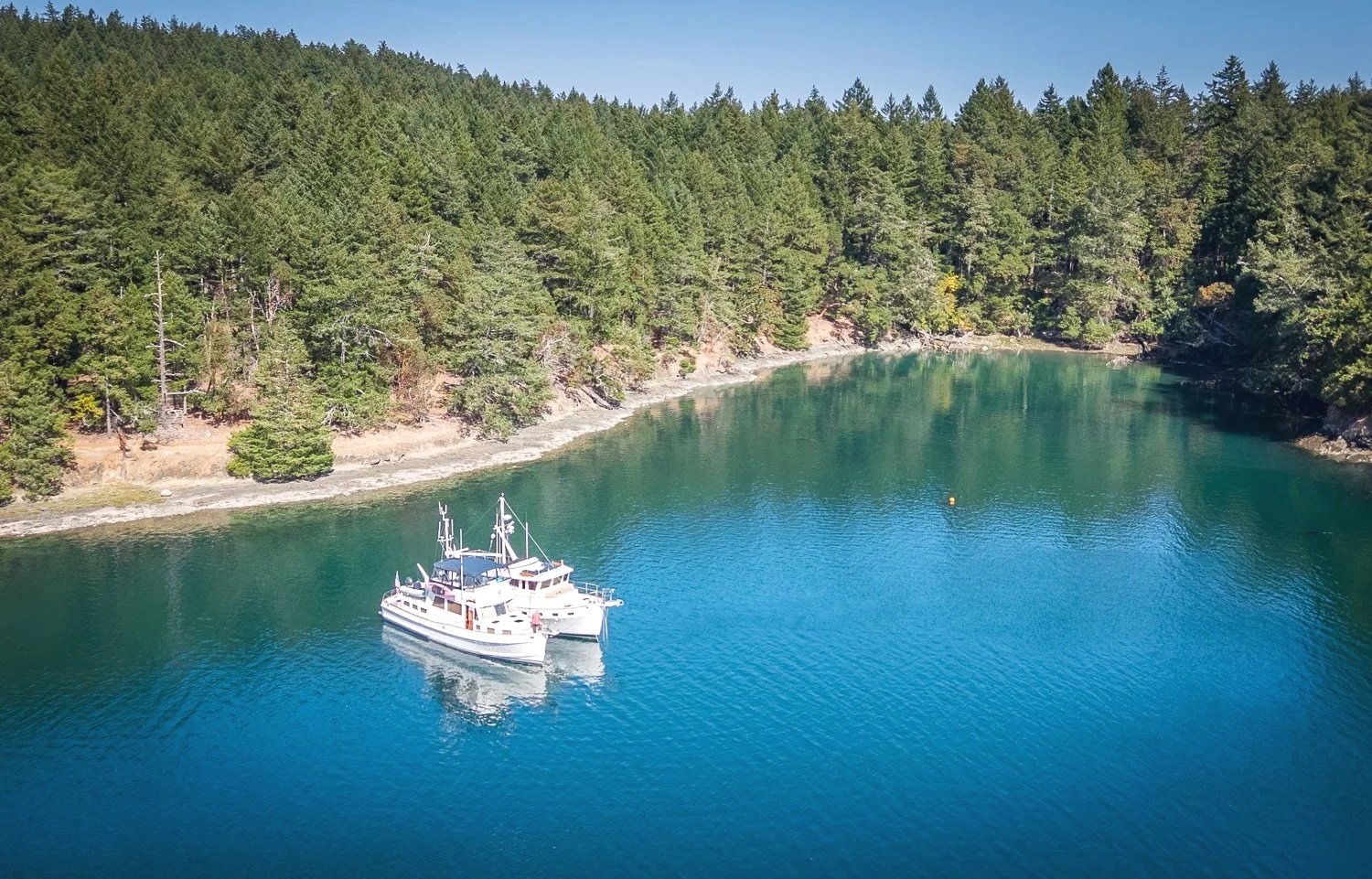
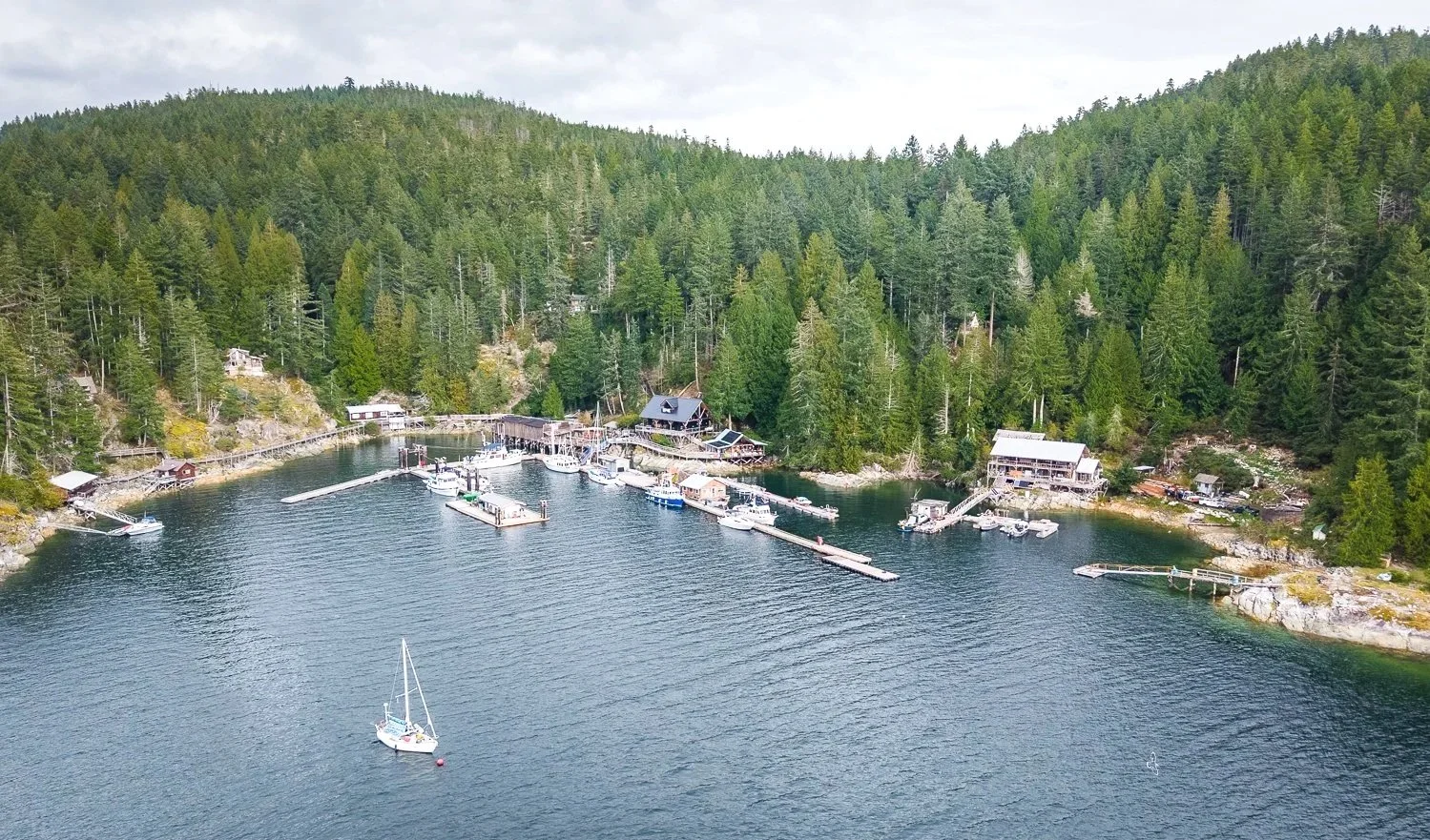
cameron cove, our home for a day

Naturally, we were curious about the river delta at the head of the inlet. While it lacks the dramatic scale and wildlife appeal of nearby Khutze, it was still worth investigating. On a 15-foot tide we carefully worked our way toward the head, never seeing less than five feet beneath the dinghy until the end.

a look at the river during low tide

With time to explore, we took a leisurely tour around the entire bay. One point of interest was the old wreck charted in the northwest corner of Barnard Harbour. Time and tide have not been kind to it, but it remains an interesting reminder of the area's maritime history.

Later in the afternoon, the charter expedition vessel Swell arrived and settled into the anchorage. We seem to be following remarkably similar itineraries. In fact, Swell has become a familiar sight at several of our recent stops.

What continues to surprise us, however, is how few cruising boats we encounter. Even in the middle of summer, these remote inlets and anchorages often feel wonderfully empty. For those willing to venture beyond the more popular cruising routes, the rewards are solitude, spectacular scenery, and the feeling that there is still plenty of coastline left to discover.

pretty views in cameron cove


Jackson Narrows to Khutze Inlet

Today's run was a straightforward transit north to one of our favorite anchorages on the British Columbia coast—Khutze Inlet.

Traffic continues to be remarkably light. During the entire trip we encountered only two southbound ocean tugs, each pushing impressive barges. One carried a mixed assortment of cargo containers, vehicles, and a couple of boats. The other appeared to be loaded entirely with refuse making its way south for processing.

As we approached Khutze, we kept an eye on MarineTraffic, curious whether anyone had beaten us to the anchorage. Khutze has become a popular stop in recent years, and our preferred spot near the waterfall is prized. Luck was on our side. The inlet was completely empty when we arrived, save for a sow grizzly and two energetic cubs engaged in what could only be described as an afternoon wrestling match along the shoreline.

With the anchorage all to ourselves, we made directly for our favorite position in front of the falls. The anchor was set in 100 feet of water, and we paid out 375 feet of rode before settling comfortably in approximately 150 feet. Despite the depth, the combination of enough chain and the steady outflow from the waterfall keeps OceanFlyer remarkably stationary. We may rotate with shifts in the breeze, but our position over the ground changes very little.

oceanflyer sits beneath the signature falls of khutze inlet

One of the highlights of any stay in Khutze is exploring the tidal rivers that feed the inlet. Timing is everything. High water here occurs roughly thirty minutes before published high tide at Butedale, and we launched the dinghy about an hour beforehand to ride the last of the flood.

low water scouting flight shows the entrances to the rivers

We began with the northwest river. Having recorded waypoints from previous visits, navigation was straightforward. At a 15-foot tide we never saw less than four feet of water and were able to travel well upstream into the lush estuary.

the shallow rapids ends out jouirney up the northest river

stopping to pose for the camera at the end of the northeast river

looking back down the river from the rocky narrows

khutze inlet from the head of the northeast river

From there we retraced out steps and crossed to the southeast river. While shorter, it is arguably the more scenic of the two. The channel feels more intimate, winding through overhanging vegetation and prime bear habitat. We never found less than five feet of water before natural debris and vegetation eventually brought our exploration to an end.

the southeast river has a very different feel. you can see the bear tracks in the tall grass.

Following our river excursion, we stopped to visit a vessel that immediately caught our attention. Tucked into a small cove about three-tenths of a mile farther up the inlet was a boat unlike any we had previously encountered in the wild. She was a Greenline hybrid cruiser, powered by either twin Volvo diesel engines or twin electric motors, captains choice.

The vessel, appropriately named Pull Chocks—a nod to the captain's airline career—had stern-tied in a cozy spot along the western shore. We spent some time exchanging cruising stories and route ideas. Their plans included continuing north in order to make a Glacier Bay reservation in early July.

After an unusually breezy afternoon, conditions settled as evening approached. The winds faded, the inlet grew calm, and once again the waterfall became the dominant sound in the anchorage. It is a familiar soundtrack for us in Khutze and one of the reasons we continue to return. As darkness settled over the inlet, OceanFlyer rested quietly beneath the granite walls while the falls continued their endless plunge into the sea.

khutze inlet is nothing less than spectacular


Roscoe Inlet to Jackson Narrows

Today was one of those days when the destination mattered less than simply making miles north.

We slipped the anchor early and enjoyed one final run down Roscoe Inlet beneath brilliant blue skies. It was hard to leave. Around every bend, another wall of granite rose from the water, another waterfall spilled from the mountains above, and another reminder appeared of why British Columbia remains one of our favorite cruising grounds.

Some places deserve to be savored rather than hurried through.

The sunshine, however, came with a tradeoff.

A strong offshore high-pressure system had settled over the coast, bringing beautiful weather—and the brisk northwest winds that so often accompany it. The forecast, along with the latest observations from Ivory Island Lighthouse, suggested there was little to gain by taking the outside route around Ivory Island.

Sometimes the best navigation decision is the one that avoids proving a point.

Instead, we chose the protected inside route through Reid Passage.

As we approached the entrance, the conditions confirmed the wisdom of that decision. Three- to four-foot seas met us squarely on the bow. Nothing OceanFlyer couldn't comfortably handle, but enough to remind us that there was no prize for unnecessary pounding.

Within minutes of entering Reid Passage, the transformation was complete.

The seas settled, the mountains closed in once again, and the scenery reclaimed our attention. Reid Passage is one of those stretches of water that quietly rewards anyone willing to slow down and look around.

Our course eventually brought us to Perceval Narrows, another reminder that successful cruising in British Columbia is often less about distance than timing. Properly planned, the narrows are wide, straightforward, and uneventful. Arrive at the wrong time with opposing currents, and the experience can be considerably different.

A little planning goes a long way.

After transiting Perceval Narrows, we continued past Rescue Bay, a longtime favorite among cruisers, before making our way through Johnston Narrows.

Rather than continue farther, we tucked into the first small bay on the north shore, an anchorage many cruisers affectionately refer to as "Jackson Hole."

“Jackson Hole” looking west down Meyers Passage

It's not a destination in the traditional sense.

Plenty of room in “Jackson Hole” for our overnight stay

It's a staging area—a comfortable place to spend the night while positioning yourself for tomorrow's tides and currents. By making it through Johnston Narrows today, tomorrow's departure becomes our decision instead of the current's.

Cruising has a way of rewarding those who think one day ahead.

Sometimes the most satisfying miles are the ones that quietly set you up for an even better tomorrow.

Boukind Bay to the Head of Roscoe Inlet

One of the greatest joys of cruising the Pacific Northwest is discovering that there is always somewhere new to explore.

After decades of boating these waters, we sometimes catch ourselves saying, "We've been just about everywhere."

Then a place like Roscoe Inlet reminds us how wonderfully wrong we are.

Reaching the head of the inlet is anything but a straight run. Roscoe twists and turns through a maze of towering granite mountains, many rising almost vertically from the water. Around every bend another breathtaking vista comes into view, each one seeming more dramatic than the last. It's the kind of scenery that fills camera memory cards while somehow refusing to be captured by a photograph.

Some places are simply too big for a lens.

The journey reminded us of several of our favorite destinations—Gardner Canal, Alaska's Ford's Terror, and even the magnificent granite walls of Misty Fjords. Waterfalls spilled from hanging valleys, sheer cliffs disappeared into the sky, and despite being only a day's run from civilization, the landscape felt wonderfully untouched.

Curiosity led us on a short detour into Quartcha Bay.

dramatic quartcha Bay

It quickly became apparent that finding a comfortable anchorage there would require more determination than we were prepared to invest, but the scenery alone made the side trip worthwhile. We shut down the engines, drifted in silence for a while, and simply admired the rugged beauty before continuing toward our destination.

The head of Roscoe Inlet proved every bit as rewarding.

Like many fjord anchorages, the water deepens rapidly away from shore, leaving only a narrow shelf suitable for anchoring. We settled OceanFlyer into 80 feet of water near the two creeks entering from the northeast shore, where the anchor dug in securely and the surrounding mountains wrapped around us like a natural amphitheater.

the head of roscoe inlet

As evening settled in, the sound of rushing water replaced the quiet hum of the engines.

Both creeks tumbled from hidden mountain valleys, their voices echoing across the anchorage long before the streams themselves came into view. It was one of those places where silence isn't measured by the absence of sound, but by the absence of people.

roscoe inlet solitude

The following day's 14-foot tide presented an opportunity too good to pass up.

By dinghy, we first explored Roscoe Creek on the north shore, about a mile and a half from the head of the inlet. The high water carried us across an extensive tidal flat that would normally be left high and dry. We eventually reached the mouth of the creek, where a large tangle of driftwood and fallen trees brought our exploration to an end. A kayak might have slipped a little farther upstream, but for us it marked a perfect turnaround point.

On the way back, we explored the smaller creek delta on the south shore, just a short distance from our anchorage. Here, depths ranged from three to nine feet beneath the dinghy, making for an easy and enjoyable excursion before another collection of boulders, logs, and driftwood reminded us who ultimately shapes these landscapes.

Neither side trip covered much distance.

Yet both offered a close-up view of the relentless forces that have been carving these fjords for thousands of years—and continue to do so today.

For a destination that had somehow escaped our cruising log for all these years, Roscoe Inlet left quite an impression.

Sometimes the best discoveries aren't famous anchorages or destinations with a long list of attractions. Sometimes they're simply places that make you slow down, look around, and quietly wonder how you managed to overlook them for so long.

Roscoe Inlet is one of those places.