Blind Channel to Big Bay

The passage from Blind Channel through Dent Rapids is very familiar to us—almost routine. But, as we have been reminded repeatedly this summer, even familiar waters can still deliver a surprise.

With the narrows in sight, a pod of Pacific white-sided dolphins appeared and began moving toward OceanFlyer. Usually, they gather at the bow, weaving through the pressure wave and darting beneath the boat. This time, however, they chose to play along our sides and in the wake.

From a photographer’s perspective, it was a welcome change. Instead of leaning over the bow and trying to capture dolphins flashing through the water below, we had a clear view as they surfed our wake, raced alongside us and launched themselves into the air.

pacific whitesides play in our wake

In a matter of moments, an ordinary passage through familiar waters became extraordinary.

The dolphins eventually moved on, but they had already set the tone for the day. One of the great advantages of cruising is that there is always something new to discover—even in waters you have traveled many times before.

Trying new destinations has been one of the themes of this year’s cruise, so rather than simply continuing through Dent, Gillard and Yuculta Rapids, we turned toward Big Bay on Stuart Island.

We pass this area almost every year. Usually, however, our attention is focused on safely navigating the three rapids in quick succession. These passages demand careful planning around the currents, leaving little opportunity to study the large properties, lodges and intriguing shorelines on either side of the channel.

This time, instead of passing by, we decided to stop and explore.

Stopping at Big Bay

Our afternoon arrival had been dictated by slack water at Dent Rapids. By the time we tied up at the Stuart Island Community Docks, the day was already winding down.
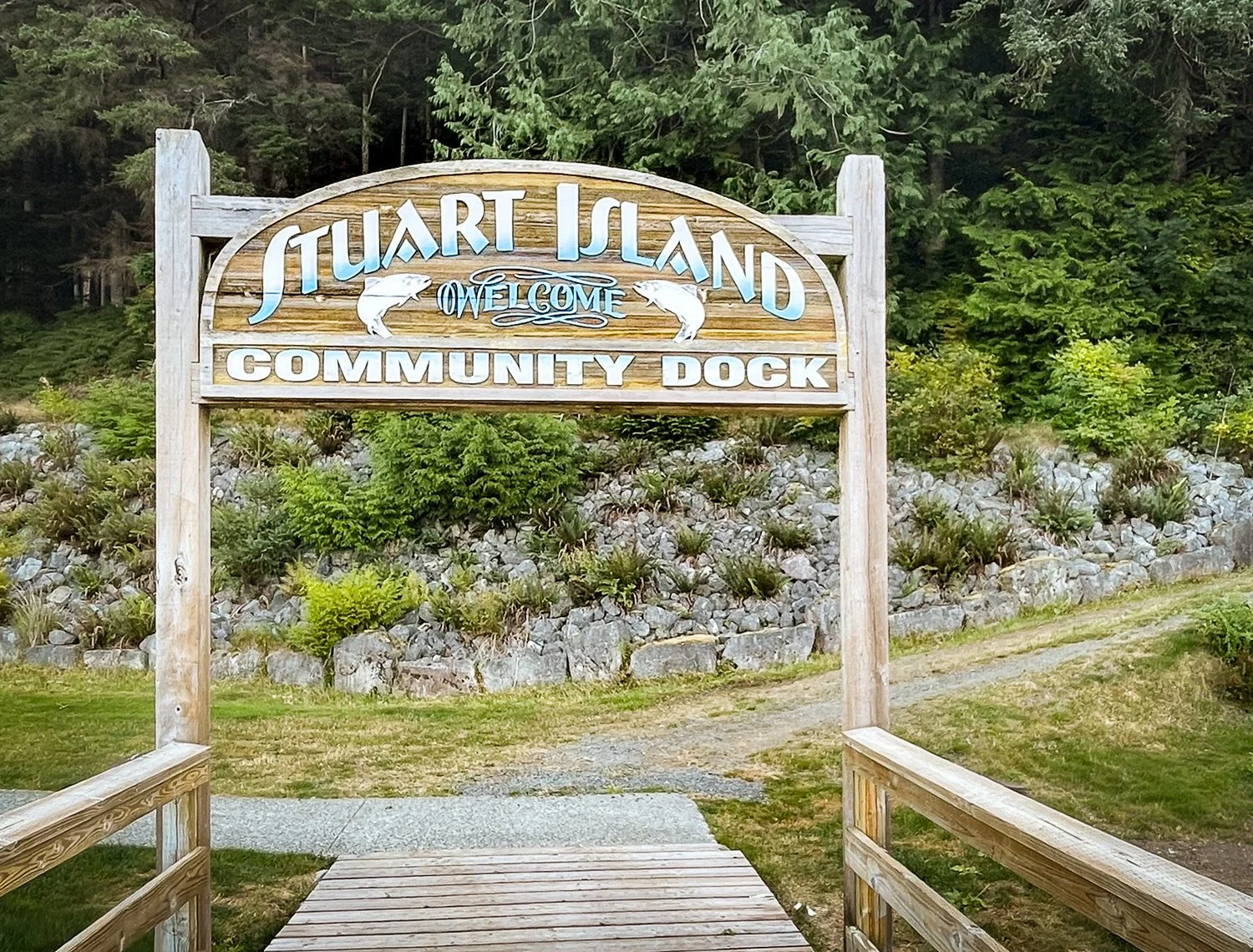
everyone makes you feel welcomed at sturat island community docks
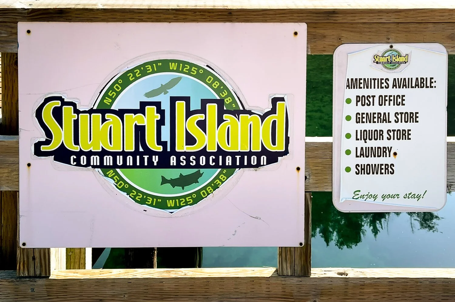
no power on the docks, but other services abound

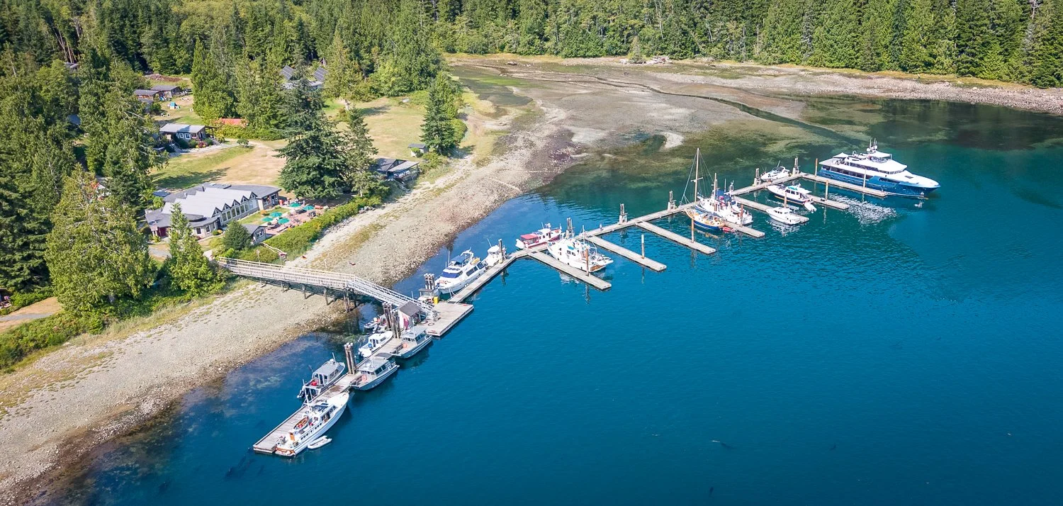
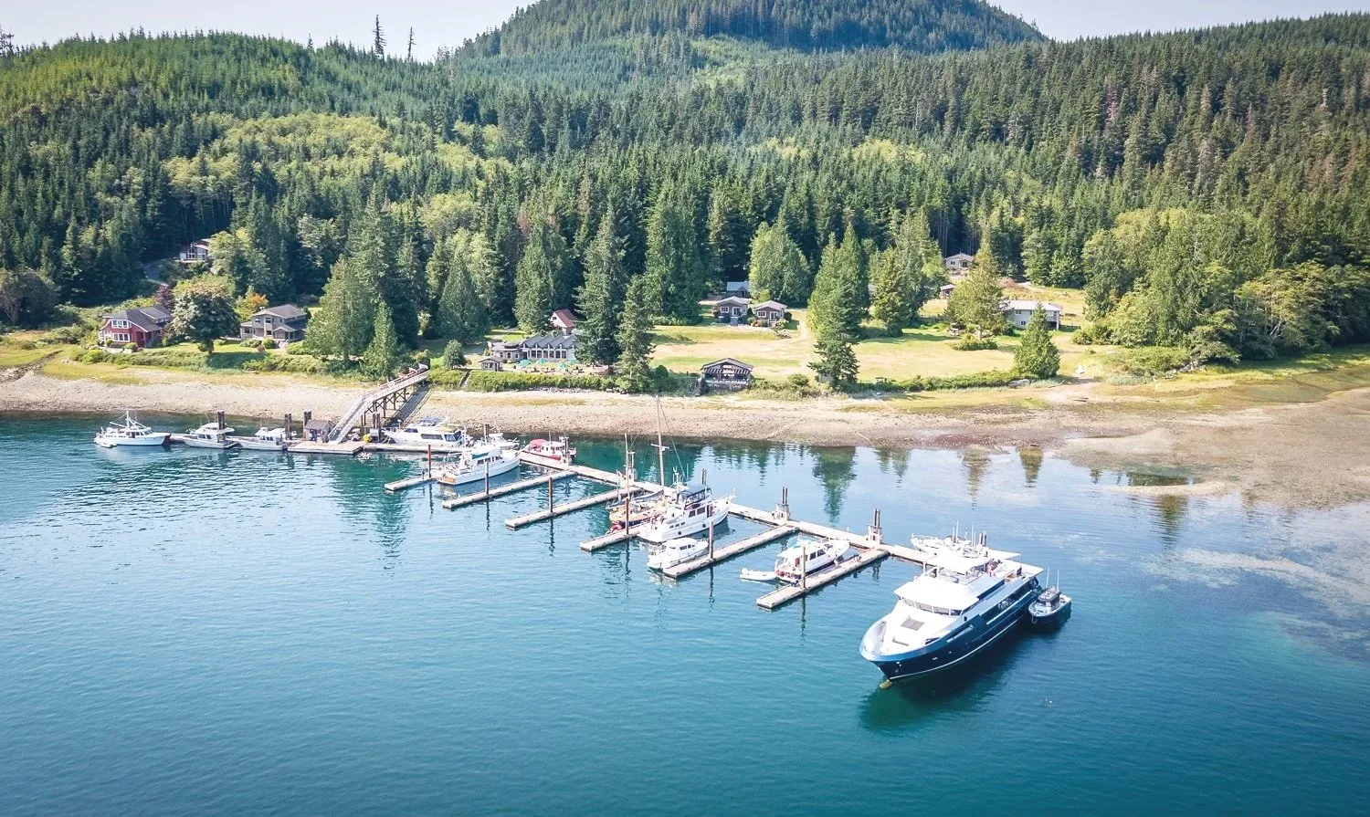
Jodie, one of only two permanent residents, greeted us at the office and gave us a warm welcome and a thorough orientation to the docks and surrounding area. There is no shore power, but fresh water is available near the head of the docks. Depending on where a boat is moored, it may need to be moved to reach the water source.
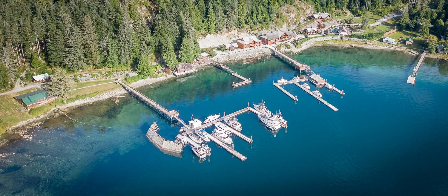
stuart island cummunity docks
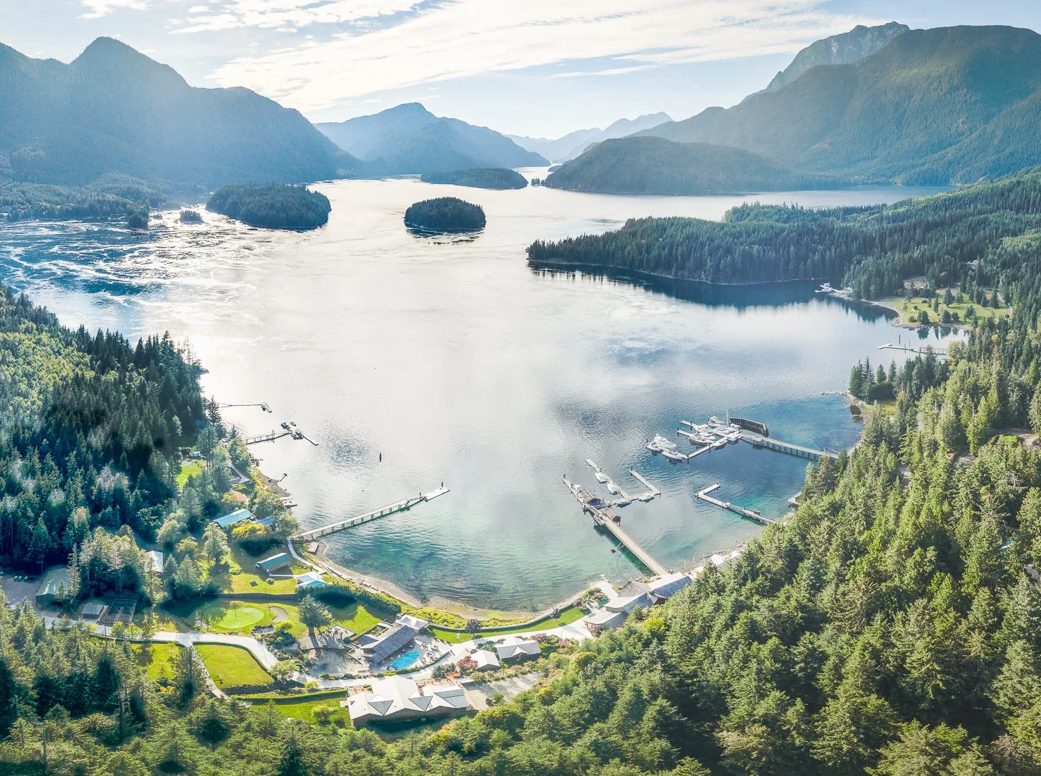
looking back toward cordero and dent rapids
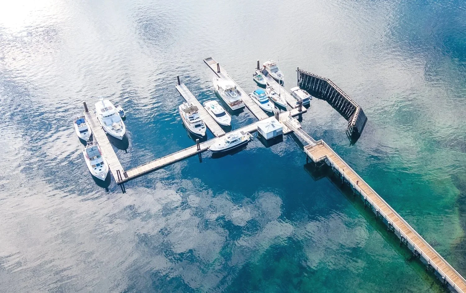
very nice docks

The docks are more than simply a place for visiting boaters to tie up. Stuart Island lies at the mouth of Bute Inlet, about 40 kilometres north of Campbell River, surrounded by some of the fastest and most challenging tidal passages on the British Columbia coast. This is the traditional territory of the Xwémalhkwu, or Homalco First Nation, whose people are known as the People of the Fast-Running Waters—an especially fitting name for this region.

In more recent times, Big Bay served as an important service centre for fishermen, boaters and the small number of people living year-round on Stuart, Sonora and Dent islands, as well as along the neighbouring mainland.

Big Bay Resort and Marina once offered a store, post office, restaurant, fuel dock, showers, laundry and other essential services. When the resort was sold to private interests and closed in 2005, many of those services disappeared.

The Stuart Island Community Association responded by converting its community hall into a combined store and gathering place. It also worked to rebuild and expand the public dock. What visiting boaters see today is therefore not simply a recreational marina. It is part of the infrastructure that has helped a small and isolated community remain connected.
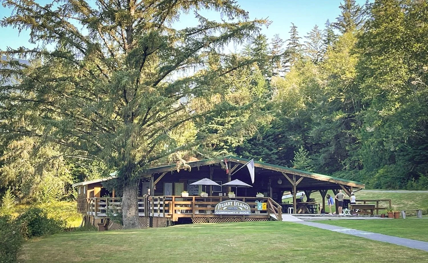
office, store and community pavilion
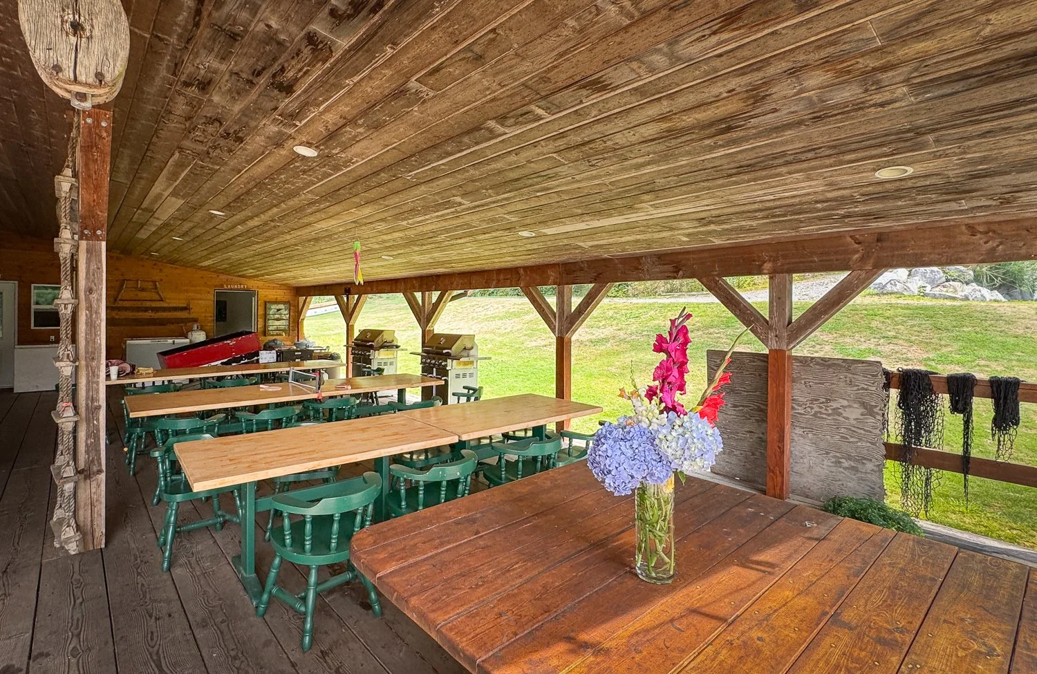
you’re welcome to use the bbq and other facilities
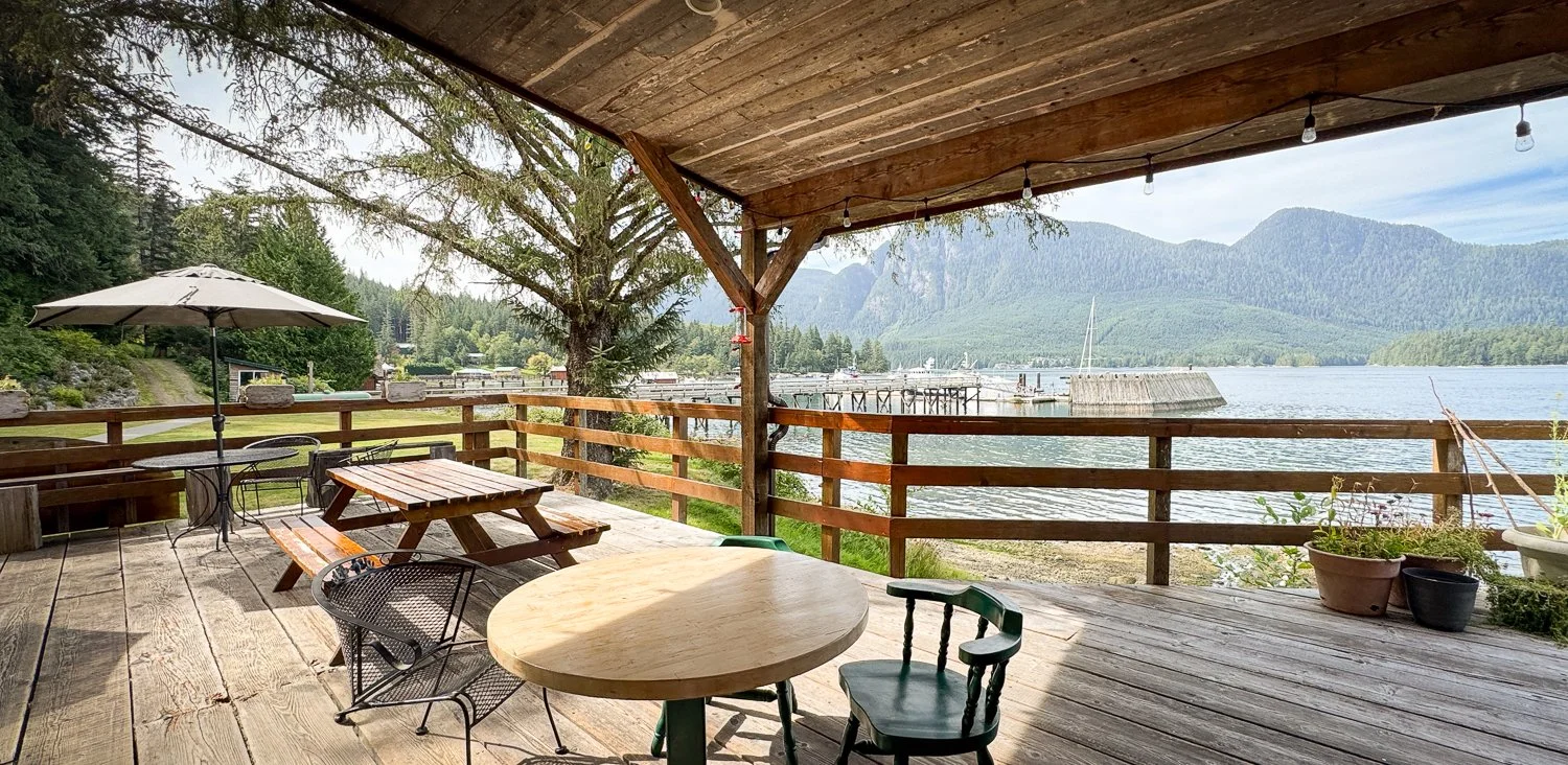
great views from the community pavilion

After settling OceanFlyer into her berth, we called it a day and began planning the next morning’s exploration.
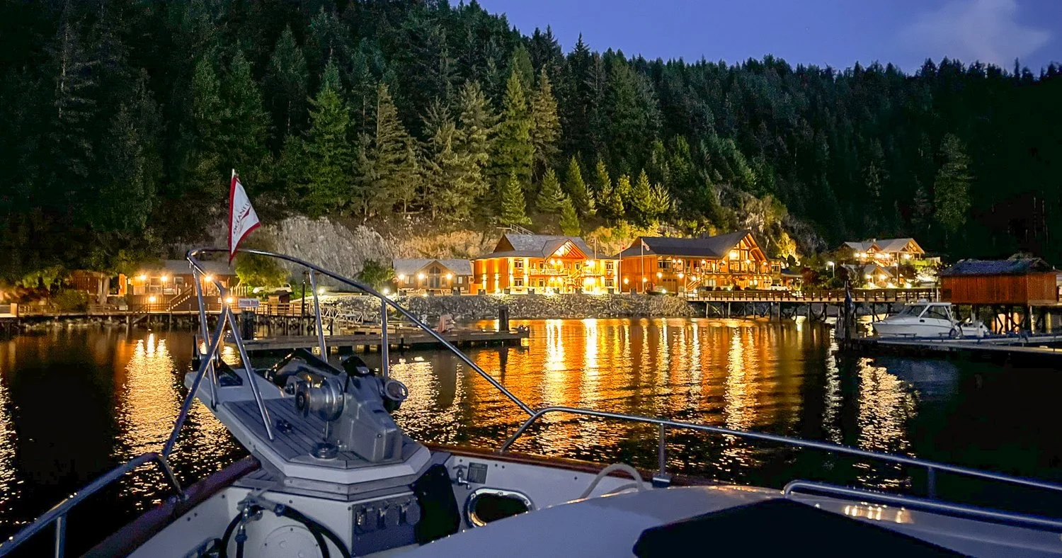
big bay resort and marina is private and dominates the shoreline

A Walk to Eagle Lake

Our first outing was the walk to Eagle Lake.

It is an easy hike of about 1.3 miles along pleasant trails and gravel roads. The lake takes its name from the bald eagles that nest in the area. We saw only a few in the distance, but the walk gave us a completely different perspective on Stuart Island.
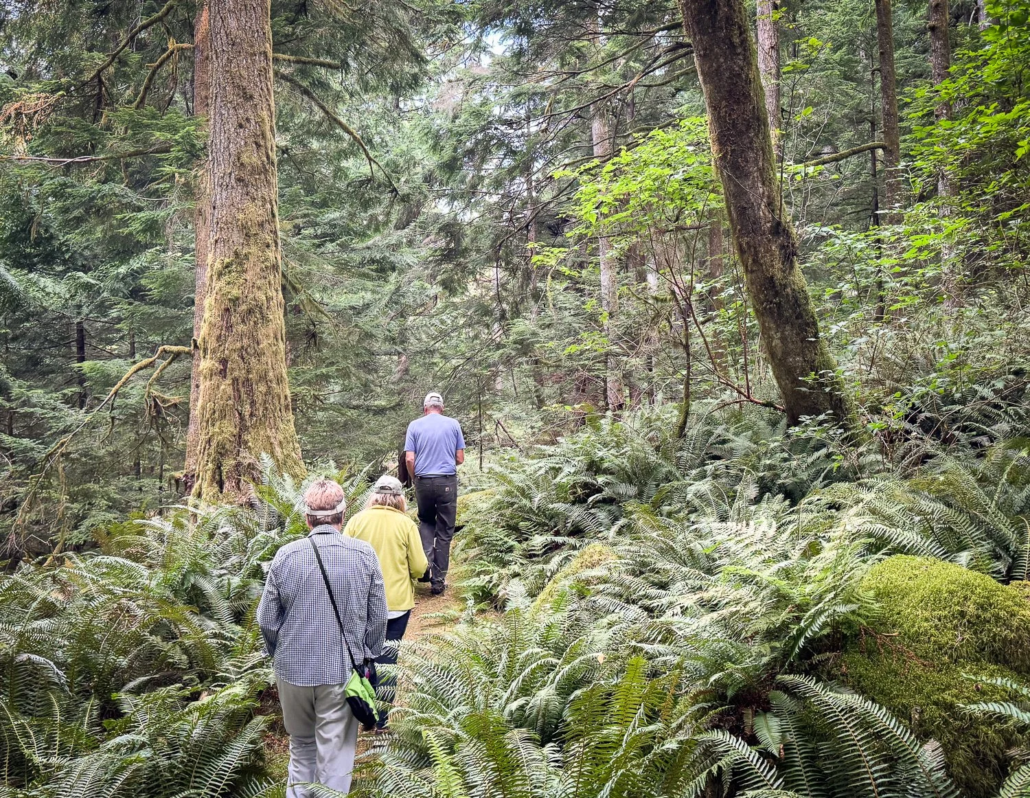
nice path to eagle lake
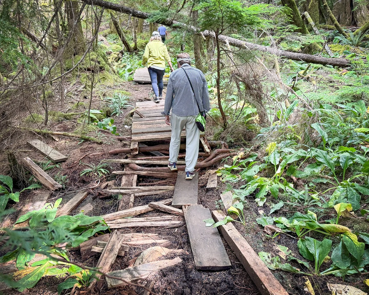
some areas need work
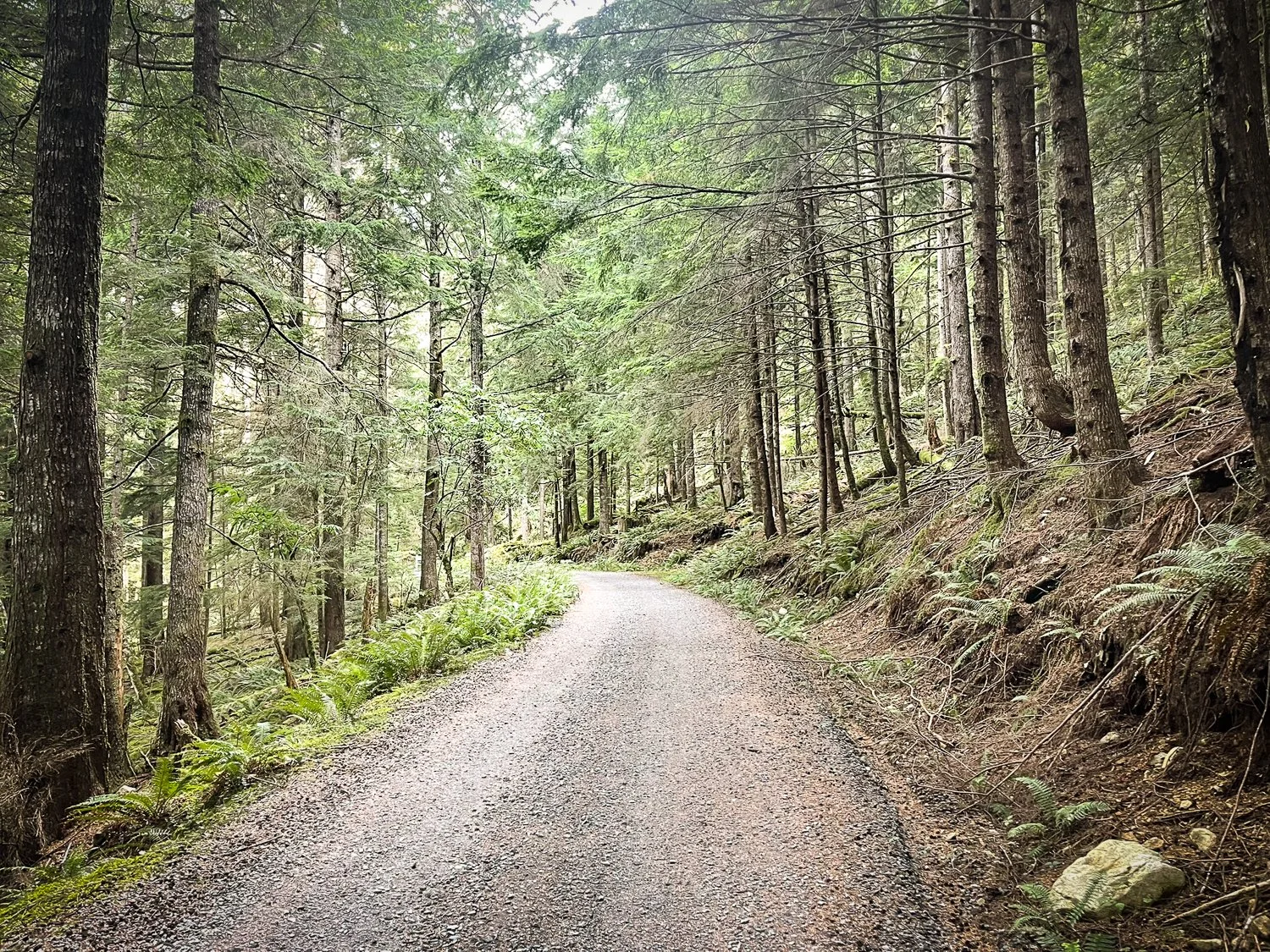
sometimes the path to eagle lake is a gravel road
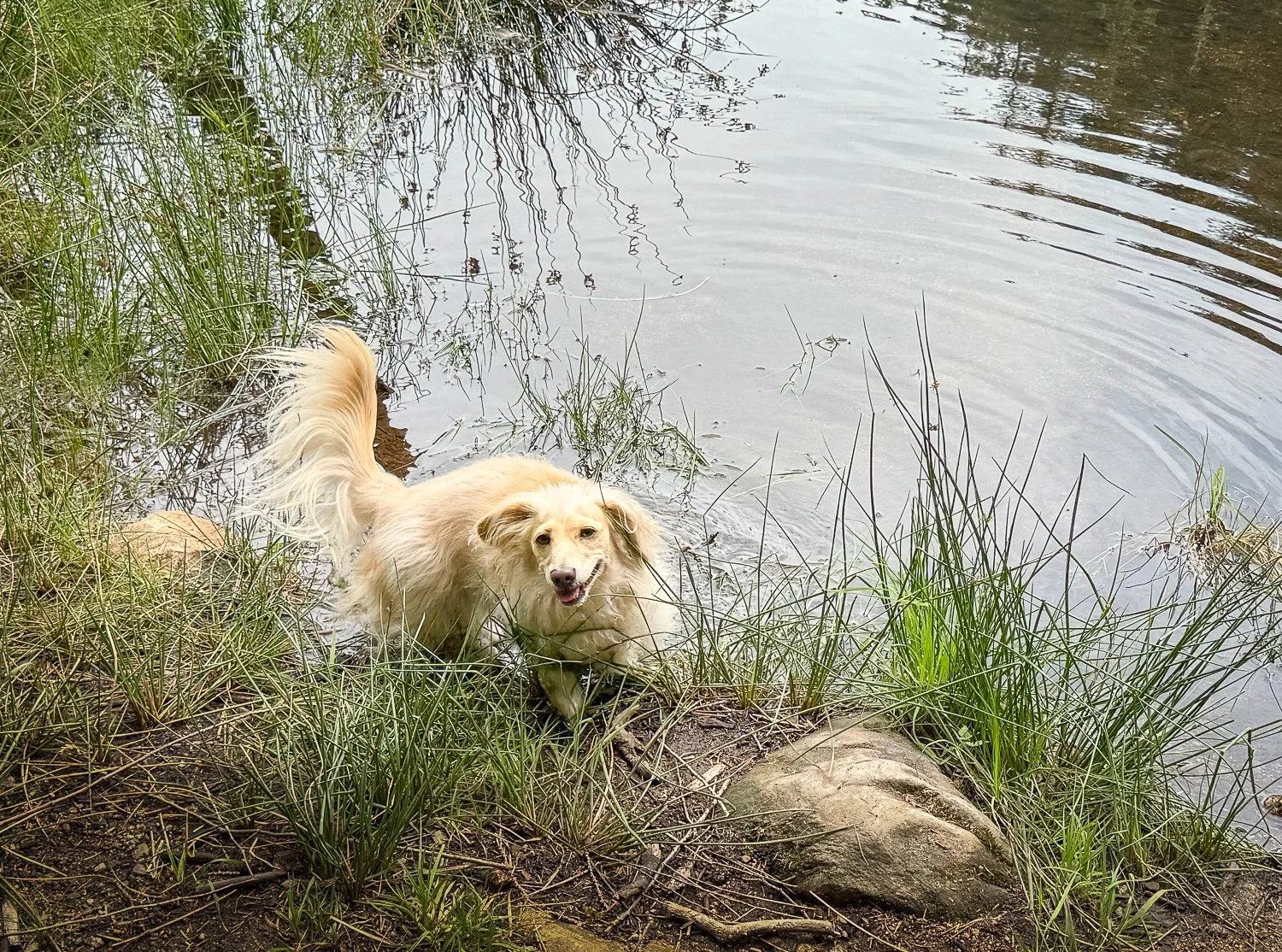
thena was the first to arrive at the lake
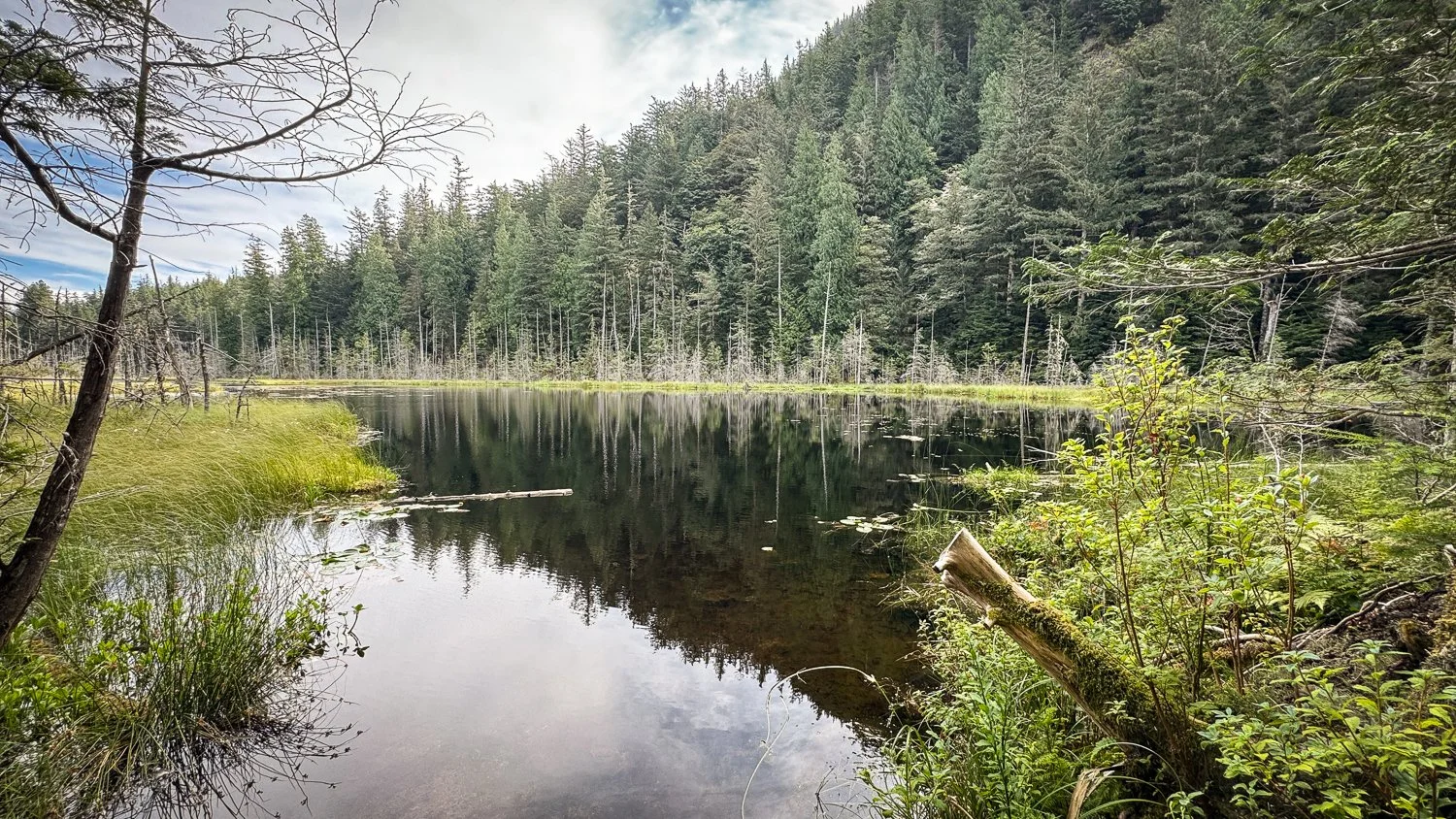
eagle lake
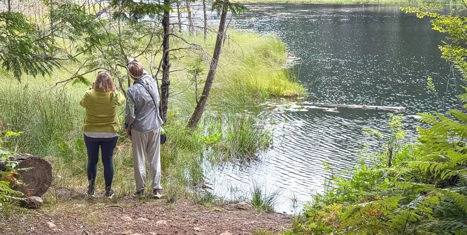
janice and karen scan for eagles

From the water, the island appears steep, rocky and heavily forested. Inland, we found quiet wooded roads, open areas and freshwater habitat—an entirely different landscape from the granite shorelines and fast-moving channels that define the island from a boat.

It was a good reminder that cruising often shows us only the outer edges of a place. Sometimes we need to step ashore to discover what lies beyond the waterfront.

Exploring the Neighborhood

Our afternoon exploration required another look at the current tables.

We wanted to tour the area by dinghy, so we timed our departure for slack water at Gillard Rapids. Even near slack, these waters hold your attention. The narrow channels, steep mountains and visible evidence of powerful currents make it easy to understand how the waterways have shaped nearly every aspect of life here.

Once clear of the immediate current, we could slow down and take in a neighbourhood we had previously seen only in passing.

Within a few miles of Big Bay is an extraordinary collection of wilderness lodges, private retreats and resort properties. Sonora Resort sits across the channel, while Dent Island Lodge lies back toward Dent Rapids. Stuart Island itself is home to several lodges and substantial private estates.
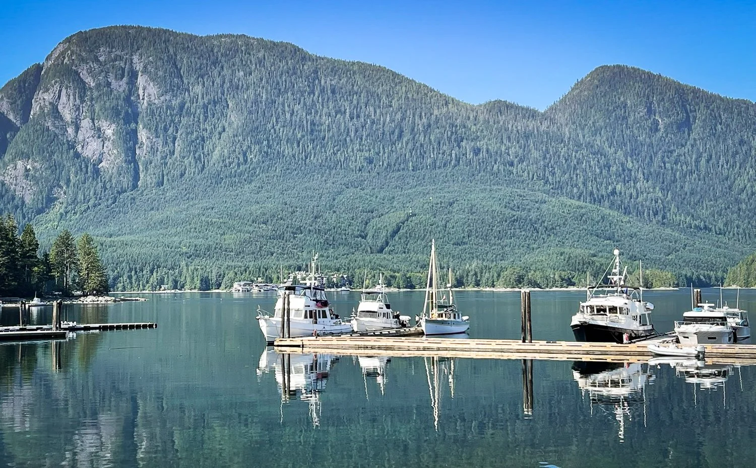
sonora resort sits across the channel under massive granite domes
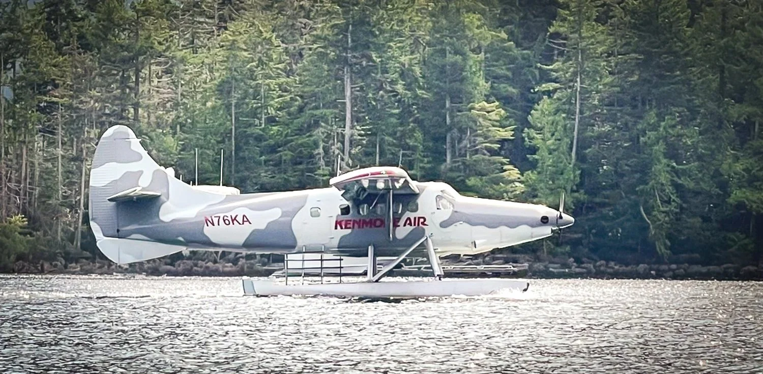
kenmore air arrives at dent island lodge

Just around Arran Point is the expansive Stuart Island property associated with Dennis Washington, owner of Seaspan Marine. The estate includes Arran Point Lodge, extensive landscaped grounds, marine facilities and Wildflower Golf Course.

The private nine-hole executive course, designed by Robert Trent Jones II, opened in 1999. From the water, its carefully maintained fairways and greens make an unexpected appearance on a shelf of land between the forest, exposed granite and the channel.

The golf course is impressive, but so is the infrastructure required to support it. There is no public road or ferry access to Stuart Island. Workers, guests and supplies must arrive by water taxi, floatplane or other marine transportation. A paved private airstrip sits atop the mountain, while substantial docks provide marine access to the lodge, residences and supporting facilities.
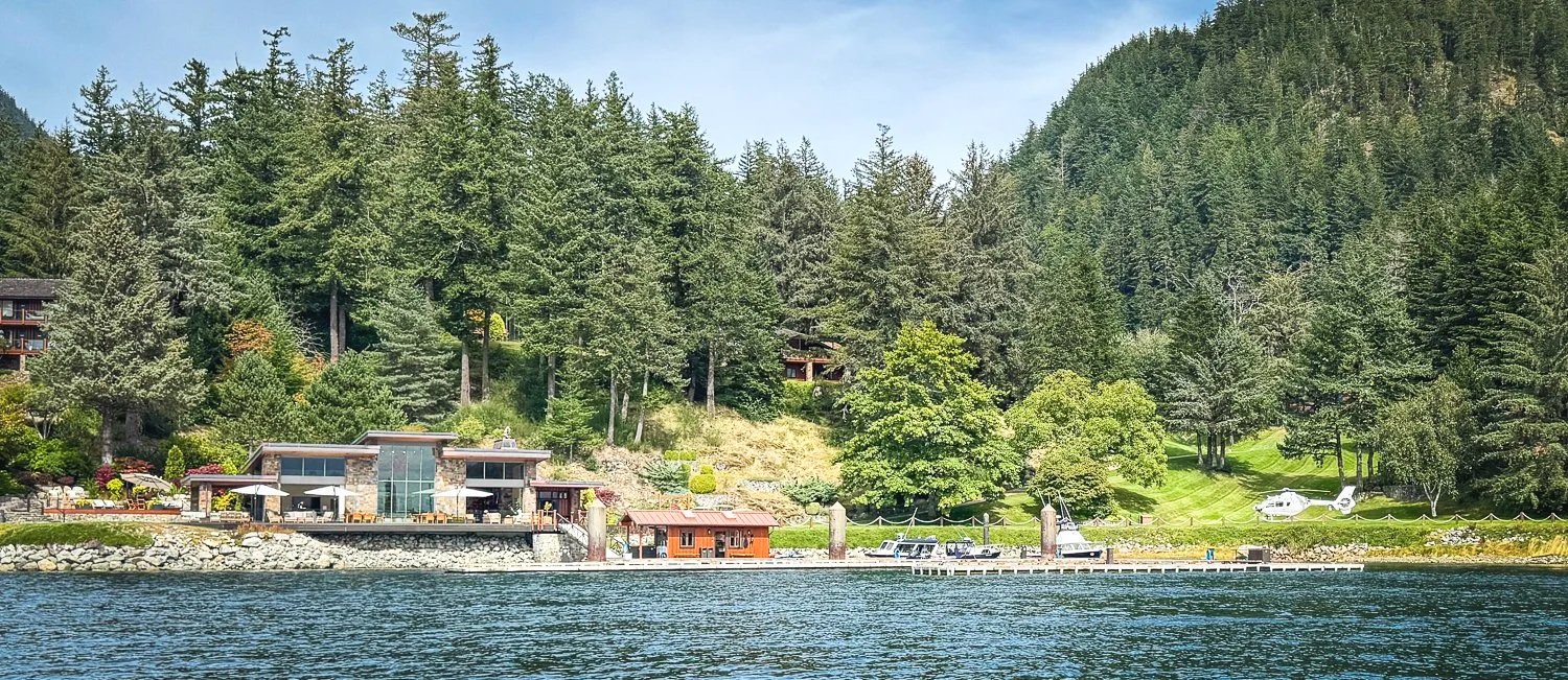
everyone should have a marina, golf course and helipad in their front yard
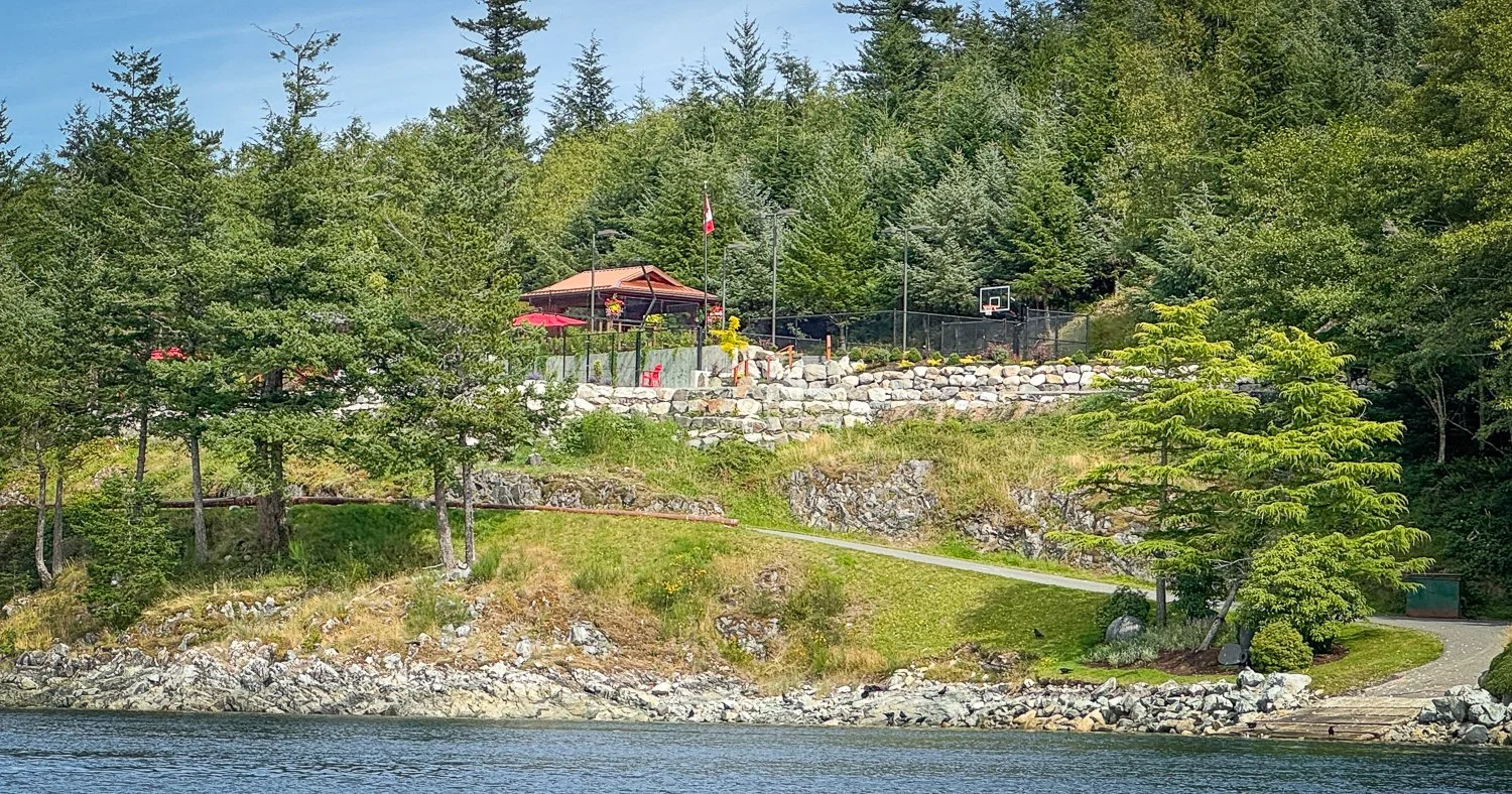
around the corner is the basketball court

Together, the lodge, golf course, airstrip and docks form a largely self-contained operation in a remarkably remote location.
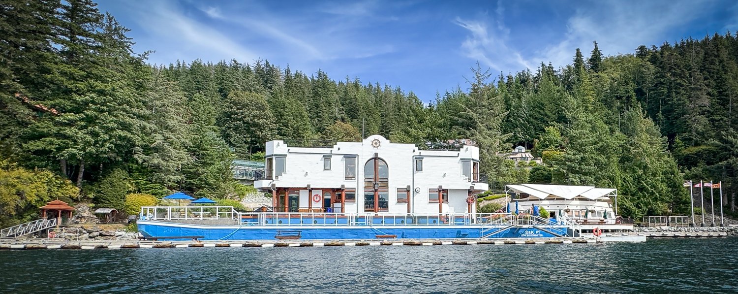
not certain what its function is, but the unusual architecture is built on a floating barge

As we continued around Arran Point, we encountered another impressive sight: the approximately 68-metre motor yacht Attessa III moored at a private dock.
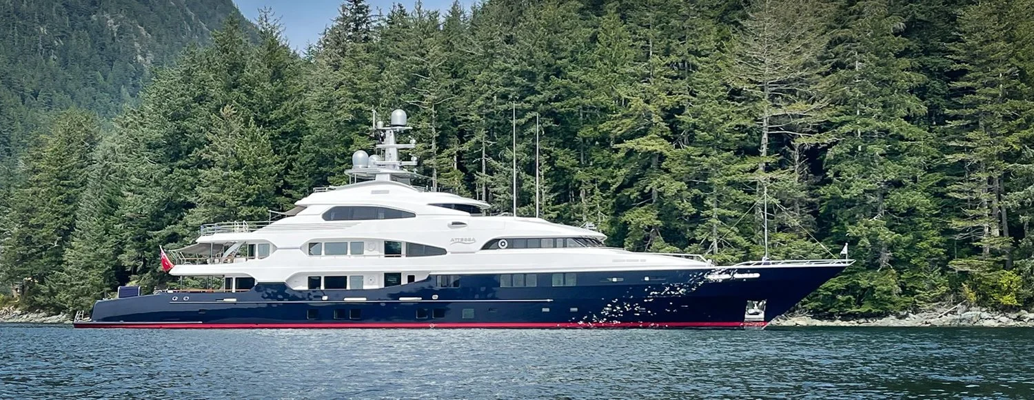
tucked in the next cove a dock with the atessa iii

Dennis Washington has owned several yachts bearing the Attessa name, but seeing one here helped put the scale of the property’s marine facilities into perspective. Even among the commercial vessels and large pleasure craft that regularly travel these channels, a yacht of that size commands attention.

It was exactly the kind of sight we had missed during all our previous passages. When your attention is focused on timing the rapids and managing the current, there is little opportunity to study the shoreline. Moving slowly in the dinghy near slack water, we finally had time to take it all in.

A Natural Soundtrack

The elaborate lodges, manicured golf course and large yacht were only part of the afternoon’s entertainment.

On our return trip, we passed the sea lion haulout on the rocks near Sonora Resort. There was no need to search for it. We had been able to hear the sea lions bellowing from the docks at Big Bay long before we saw them.
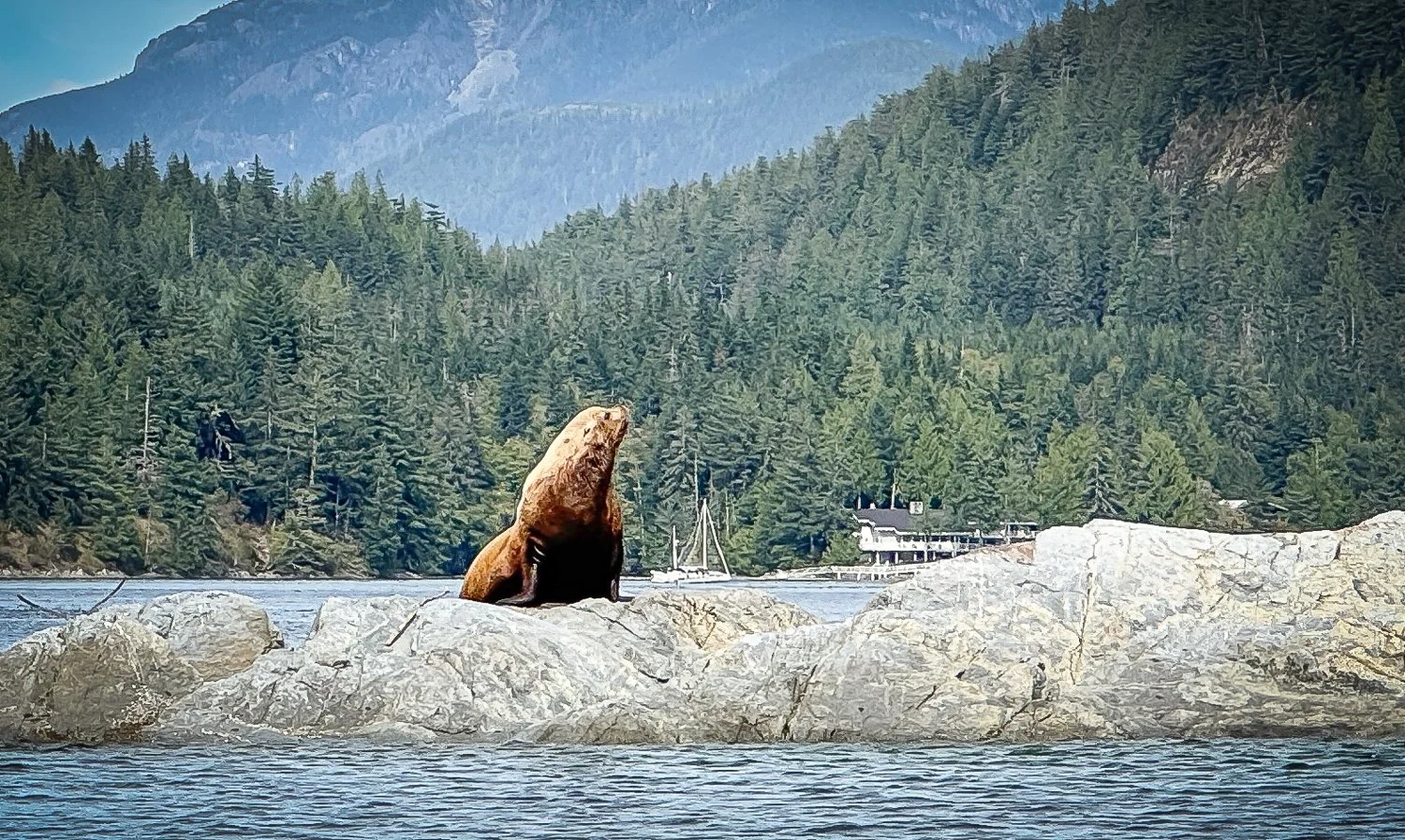
no question who owns this rock

Up close, both their size and volume were even more impressive. They provided a fitting contrast to the carefully maintained properties nearby. In one short dinghy ride, we had moved from powerful tidal water to private resorts and manicured fairways, and then to a rocky shoreline claimed by a noisy gathering of sea lions.

That unlikely combination is part of what makes this area so fascinating.

Worth the Stop

Our first visit to Big Bay was a success.

The walk to Eagle Lake introduced us to the quieter interior of Stuart Island. Our dinghy exploration gave us a much better look at the lodges, private properties and wildlife surrounding the channel. And the community docks allowed us to experience a place we had passed almost every year without really seeing.

Most importantly, the visit reinforced one of the central themes of this summer’s cruise. It is easy to become focused on the next rapid, anchorage or destination. Sometimes, however, the places we have been passing for years are the ones most worth slowing down to explore.

Big Bay was one of those discoveries.

We will be back.
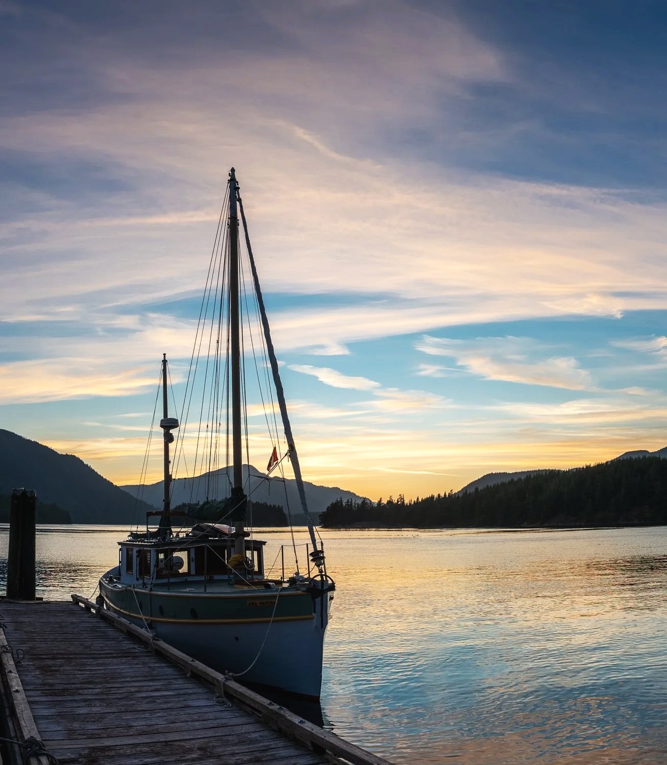
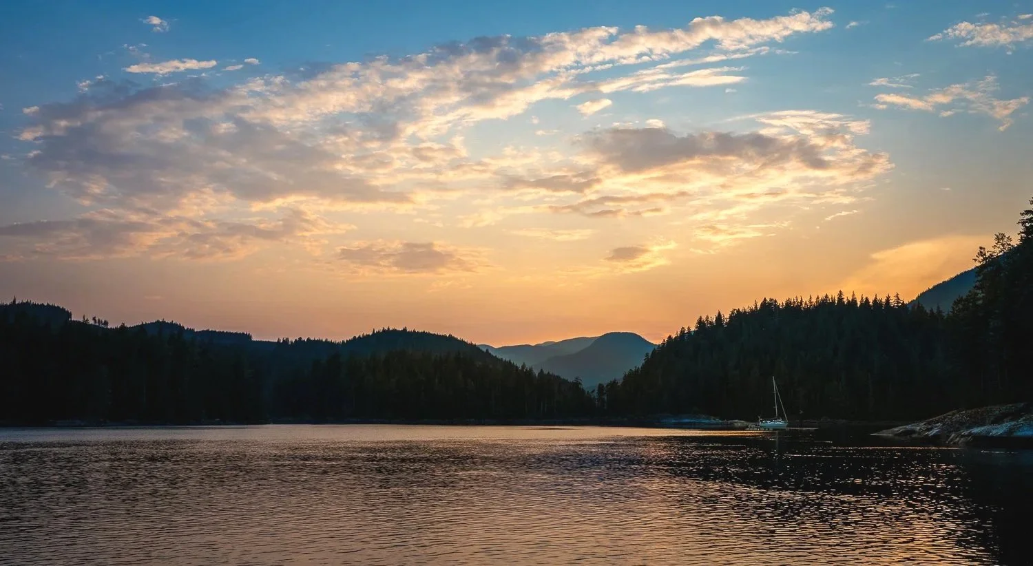
sunset at big bay community docks
 

Cordero Islands to Blind Channel

This morning, the Cordero Islands delivered one last surprise.

When Karen stepped into the saloon and looked forward, a great blue heron filled the port windshield. It was perched comfortably on OceanFlyer’s forward rail, watching the water for its next meal. Our unexpected visitor stayed long enough for a photograph before flying off to one of its more familiar hunting posts.

From our anchorage, we had been monitoring the boats at Blind Channel, waiting for the morning departures to begin. Once Karen saw several boats leave, she called the marina and learned that our slip was available. With the go-ahead, we brought the anchor aboard and pointed OceanFlyer toward our next destination—all of two miles away.

The short distance can be misleading. Blind Channel sits where several waterways and strong tidal currents come together, and its approach deserves respect. The current in Mayne Passage can change both speed and direction as you move behind the point northwest of the marina and then enter the docks. Slack water is always our preference, but arriving at slack is not always practical.

When approaching outside slack, it is wise to pause well clear of the docks and watch how the current is setting the boat. Your first approach may simply be reconnaissance, and there is no shame in backing away and trying again. Each pass provides a better understanding of what the water is doing.

We arrived about an hour and a half before the predicted maximum current of 5.4 knots, flowing from the northwest. After receiving our slip assignment, we stopped to put out fenders and make our final preparations. In the few minutes that took, the current carried us almost beyond the marina. We had to turn around and claw our way back upstream—a vivid reminder that Mayne Passage does not pause simply because a boat needs a moment to prepare.

Once we moved behind the point, the current diminished considerably. Inside the marina it changed again, now pushing OceanFlyer away from the dock toward the northwest. With a little extra attention at the helm and help from a friendly dock attendant, we were securely alongside on our first attempt. Uneventful in the end, but certainly not routine.

That combination—a challenging, current-swept approach followed by a warm and welcoming refuge—is part of what makes Blind Channel so memorable.

the docks at blind channel

there is a lot more to the blind channel resort that you see from the docks

The resort is a multigenerational Richter family operation that has served Pacific Northwest cruisers for decades. For boats traveling through the Discovery Islands, it is both a natural waypoint and a destination in its own right. Northbound and southbound crews meet here, exchange information and stories, replenish supplies, and prepare for the next stage of their journeys.

For us, Blind Channel was also a rendezvous with our friends aboard Spellbound. They had been working their way north, with Blind Channel as their turnaround point, and we had been looking forward to meeting them and beginning the journey home together.

Blind Channel offers that rare cruising combination of practicality and pleasure. There is fresh water, laundry, groceries, shore access and dock space where boat projects are considerably easier to accomplish. While Karen tackled the laundry, I turned my attention to OceanFlyer—cleaning stainless steel and removing stains and marks from the hull. With abundant water and easy access to one side of the boat, jobs that are awkward at anchor became pleasantly straightforward.

Once the chores were finished, we headed ashore in search of a blackberry patch that another cruiser had assured Karen was “only small.” Armed with directions based more on landmarks than measurable distances, we set out with considerably more optimism than certainty.

Eventually, we found “the patch.” The thorns guarded the fruit enthusiastically, but we persevered and collected enough berries to cover dessert for both crews.

Dinner was a joint production. OceanFlyer supplied the prawns, Spellbound marinated and grilled them, and both galleys contributed side dishes. We gathered beneath the shoreside pavilion for a wonderful meal, finished with freshly picked blackberries over ice cream. This is another part of Blind Channel’s appeal: it provides the setting, and visiting crews supply the camaraderie.

The next morning brought more laundry and boat projects, followed by a return expedition to the blackberry patch. This time we were better equipped. Armed with a PikStik and my heavy rubber gloves, we reached the berries that had escaped us the day before and doubled our harvest. Our success created only one problem: we would now need more ice cream.

Blind Channel also offers something increasingly rare along this part of the coast—a proper restaurant in a truly remote setting. In the places we cruise, fine dining usually requires a stop in a larger community. Here, the Richter family has consistently paired excellent food and attentive service with a view of the channel and the surrounding forest. It transforms a necessary provisioning stop into an occasion.

That is the unique quality of Blind Channel. It is remote without feeling isolated and useful without feeling merely utilitarian. Cruisers can fill their water tanks, wash clothes, buy groceries and complete boat projects, then step ashore for forest walks, beachcombing, berry picking, dinner at a fine restaurant and an evening shared with friends.

Blind Channel meets both sides of the cruising life: the work required to keep a boat moving and the pleasures that make the journey worthwhile. The Richter family has brought those elements together in a place that feels less like a marina stop and more like a long-established crossroads for the cruising community.

That is why Blind Channel is not simply somewhere boats call on their way north or south. For generations of Pacific Northwest cruisers, it has become part of the journey itself.


Lagoon Cove to Cordero Islands

Today’s passage was less about distance and more about timing.

We bid a fond farewell to Lagoon Cove under low-hanging clouds, leaving early enough to work with the tides and currents that would shape nearly every part of the day.

Our first consideration was the Blow Hole. We wanted a comfortable margin of water beneath OceanFlyer, so we timed our departure accordingly. Passing through, we saw 13.6 feet beneath our 5.5-foot keel on a 9.5-foot tide as reported at Lagoon Cove. Plenty of water, but another useful data point to tuck away for future passages.

From there, the puzzle became a little more complicated. We needed to balance the current in Chatham Channel with the conditions we expected farther south in Johnstone Strait. Johnstone has a well-earned reputation for becoming unpleasant when wind and current oppose one another, so the goal was not necessarily to find the fastest ride, but the most comfortable one.

That tradeoff worked in our favor.

We carried current on the bow for much of Johnstone Strait, which slowed us down, but the water remained remarkably smooth. Other than a few swirls and patches of disturbed water where the opposing currents made themselves known, the ride was comfortable.

nice ride on Johnstone Strait

We will happily give up a little speed to avoid four hours of pounding into two-foot chop.

As we approached the Cordero Islands, another part of our arrival routine came into play. Karen had been keeping an eye on AIS, watching to see whether our favorite anchoring spot was occupied. A boat had been sitting in “our” spot for several days, so our expectations were modest.

Then, sometime during our passage, they moved on.

That was cause for a small celebration aboard OceanFlyer.

We eased into the anchorage, dropped the hook exactly where we hoped to, and watched it settle in and hold well. After a day spent carefully balancing tide, current and wind, it was satisfying to have the final piece fall into place too.

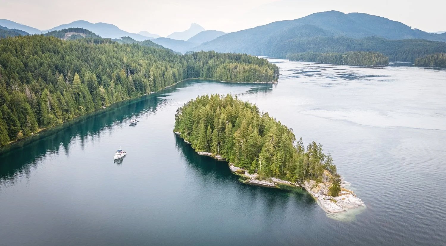
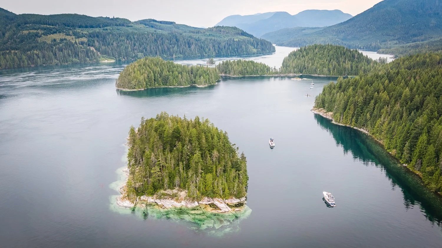
cordero island anchorage looking east down cordero channel

greene point rapids are just outside the cordero islands anchorage

For us, the Cordero Islands are more than just a pleasant anchorage. They are a strategic stop—perfectly positioned to stage for a slack-water arrival at Blind Channel.

Tomorrow’s timing will once again be dictated by the current.

But for tonight, we are exactly where we wanted to be.

sunset over cordero islands

Crease Island to Lagoon Cove

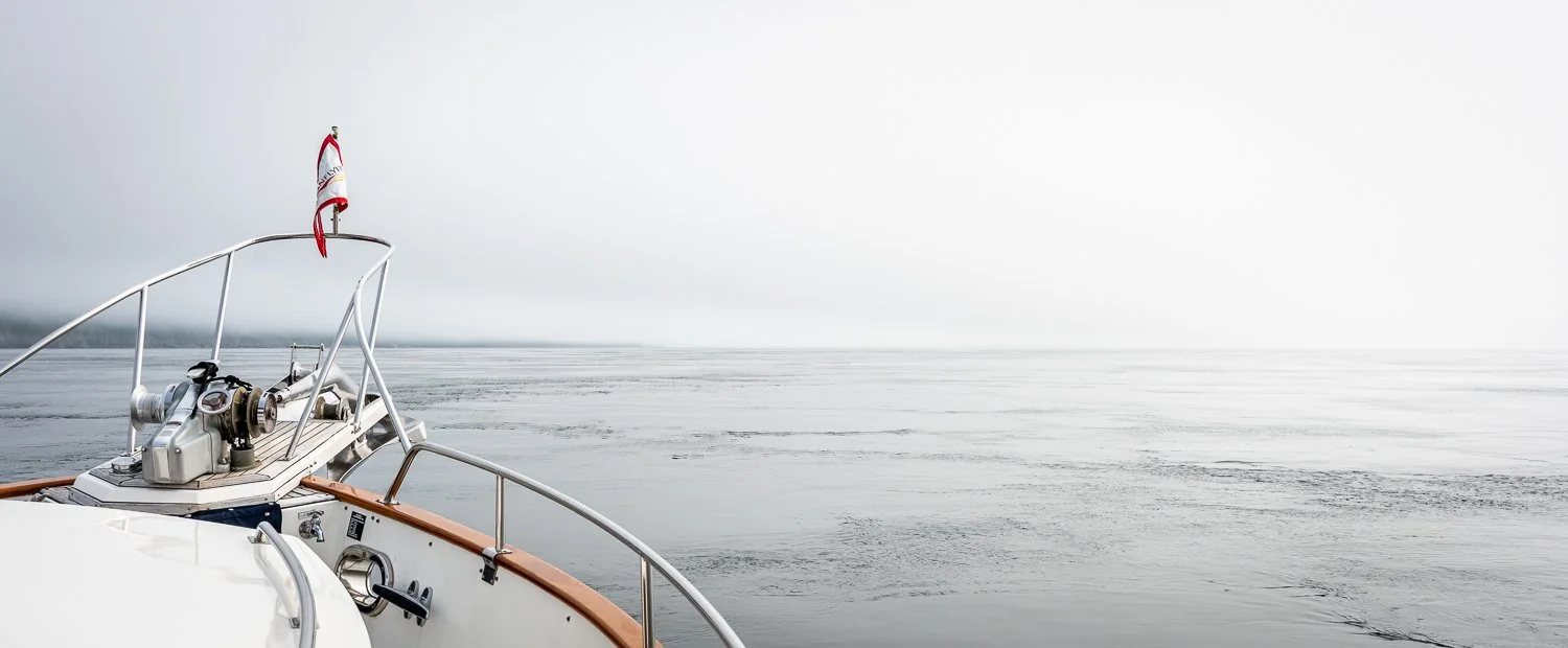
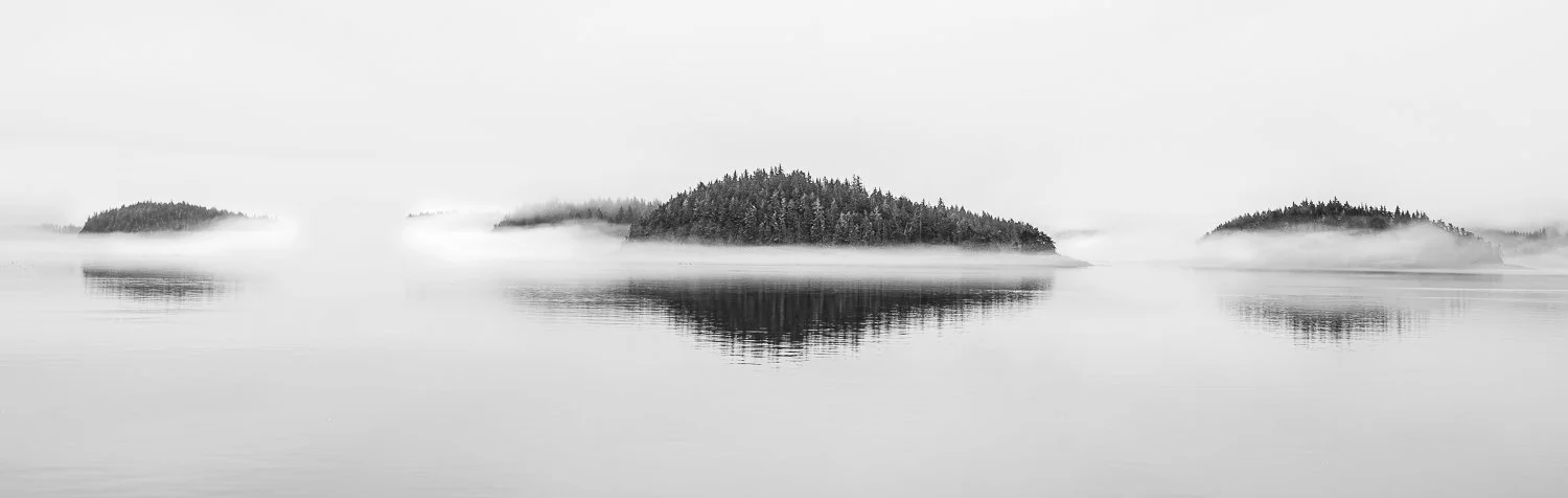
With fog draped over the islets along our route, we left Crease Island and set a course for one of our favorite stops anywhere in the Broughtons: Lagoon Cove.

my favorite kind of fog

A big part of what makes Lagoon Cove special is Dan and Kelly. They are exceptional hosts—warm, welcoming, and always ready to help with whatever a visiting cruiser might need. From the moment you arrive, there is a sense that you are more than just another boat pulling into the marina.

Then there is happy hour, a Lagoon Cove tradition and one of the highlights of any visit. Fresh-caught prawns are the centerpiece, joined by an ever-changing assortment of appetizers contributed by the boats on the docks. It is casual, communal, and a wonderful way to meet other cruisers and compare notes on where everyone has been and where they are headed next.

We also enjoy simply wandering the property. There are trails to explore, blackberries to pick when they are in season, and the walk over to the Honeymoon Dock is always worth making.

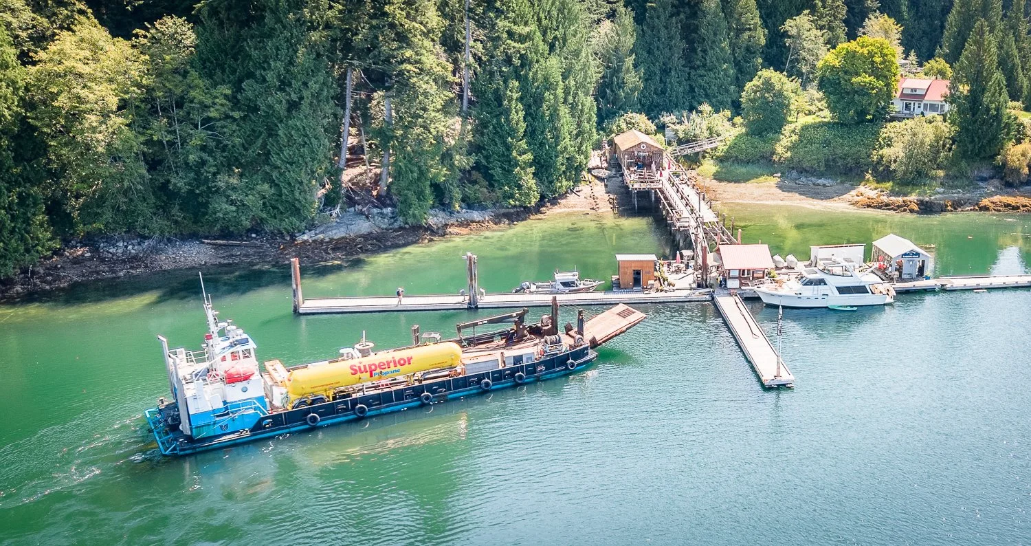
happy days at lagoon cove as the fuel barge arrives delivering diesel, gasoline and propane.

There is one Lagoon Cove activity we have largely given up on: prawning.

For reasons I have never quite figured out, the bottom here seems determined to keep my prawn pots. I can set them almost anywhere else with confidence, but at Lagoon Cove there is a remarkably good chance I will spend far too much time trying to free one from whatever lies below. After enough wrestling matches with the bottom, I have finally decided that Dan and Kelly’s happy-hour prawns are a much safer option.

This afternoon we picked blackberries and settled back into the familiar rhythm of Lagoon Cove.

As Karen put it while enjoying the berries we had just gathered, “Lagoon Cove feels like home.”

That pretty well sums it up.

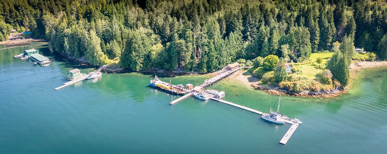
LAgoon Cove, our favorite marina “home”

Eden’s Pool to Crease Island

It is not a long run from Eden’s Pool to the anchorage behind Crease Island, but this is one of those passages where the journey is every bit as interesting as the destination.

The route threads through a maze of small passages and between islands of every shape and size. Rather than following one broad channel, we wound our way from one opening to the next, with each turn revealing a new view. Rocky shorelines, forested islets, narrow gaps and hidden waterways continually appeared ahead of us, giving the trip a real sense of exploration.

Adding to the atmosphere today was fog.

Fortunately, it was what I like to call “interesting fog.” Not the thick, all-enveloping variety that reduces the world to the radar screen, but just enough to add drama to the scenery. Wisps of fog drifted among the islets, alternately hiding and revealing the shoreline, while visibility remained good enough to comfortably see the rocks, kelp and other obstructions around us.

It transformed an already engaging route into something even more memorable. At times an island would seem to appear out of the mist just as another disappeared behind us.

Crease Island itself is a popular anchorage, and it is easy to understand why. It is conveniently located, spacious, well protected and offers comfortable anchoring depths of generally less than 30 feet.

Its one defining challenge is kelp.

There is plenty of it.

No matter where you choose to drop the anchor, you seem to end up sitting in a floating forest. The kelp reaches the surface at all stages of the tide and surrounds the boat, making careful anchor placement—and a little patience when retrieving it—part of the Crease Island experience.

There was one other boat anchored when we arrived. Over the course of the afternoon, three more cruisers worked their way in and found their own spots among the kelp.

crease island is a popular anchorage

looking east from crease island anchorage

After spending the morning weaving through mist-shrouded islands and narrow passages, settling into Crease Island felt like an appropriate ending to a day that was much more about exploring the route than simply getting from one anchorage to the next.

the afternoon fog tries to reclaim crease island anchorage

And judging by the growing collection of boats around us, we were not the only ones who thought Crease Island was a good place to stop.