


Holmes Inlet Nook
/We lucked out today rounding Estavan Point and the Hesquiat Penninsula. Though not as intimidating as Cape Scott or the Brooks Peninsula, this is another place where winds and seas can be challenging. Once again, the Minkus weather dome held and we made the rounding in comfortable conditions. We also saw a sunfish, those are very weird-looking animals for sure.
Not being Hot Springs fans, we are always on the lookout for interesting places to anchor in and around Clayoquot Sound. Our friends on Navigator strongly recommended Holmes Inlet Nook, close to the head of Holmes Inlet off Sydney Inlet. A quick look at the chart reveals a few things. One, it’s a one way trip. The “Nook” is in a narrow offshoot of the main Holmes inlet, and there is no easy way to rejoin Holmes or Sydney inlet without retracing your steps. The second is that the turn into the inlet is more than 90 degrees, so situational awareness is critical.

HOLMES INLET COVE IS A ONE BOAT ANCHORAGE
We had following seas as we went up Sydney inlet and some winds. The seas died down as we entered the narrow offshoot, but the winds continued. As we lined up to make the turn into the entrance, the current was also working against us. Nevertheless, we entered safely and this one-boat nook (we did not stern tie) became home for the next two days.
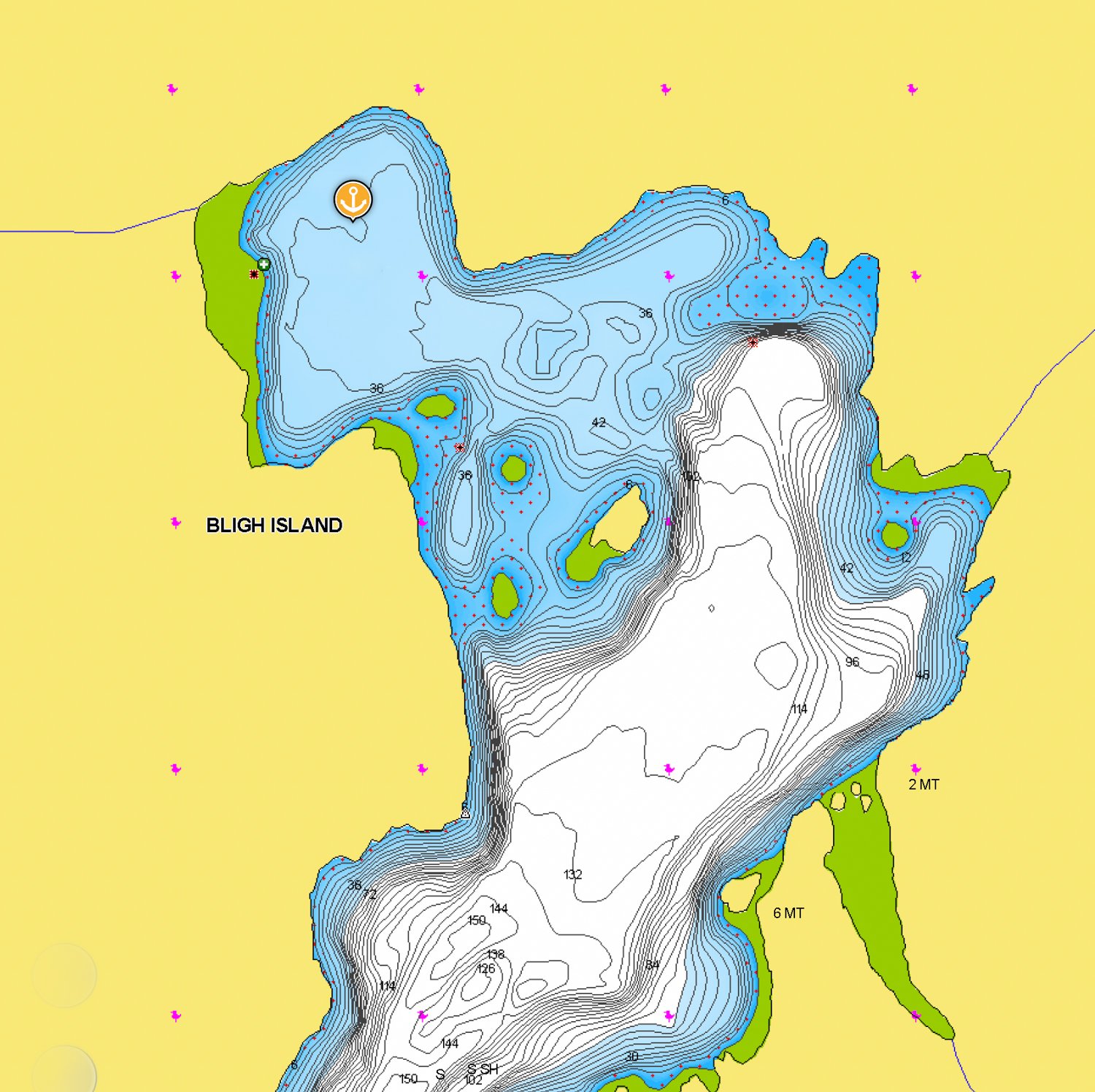
On the charts, it looks like this anchorage might feel totally enclosed and confined, but you could see out enough to make it interesting.

CALM AND COZY
On day 2, we headed off in the dinghy to explore. First, we went up to the head of Holmes Inlet to Pretty Girl Cove. It was fairly attractive and a viable alternative to Holmes Nook, but the winds and fetch that day and the quickly shoaling depths would have made anchoring uncomfortable.

LOOKING OUT TO THE CHANNEL FROM INSIDE HOLMES INLET NOOK

THE VIEW FROM THE INET BACK INTO THE SMALL NOOK
We then decided to head south to Bottleneck Bay, a popular anchorage that we visited in 2012. The entry is narrow and interesting, and then it opens up to a large basin with multiple options for anchoring. We were totally shocked to find this bay empty. This has been a trend for us on this trip – we seem to be between “waves” of boaters who are heading south down the outside.
Thanks to the crew of M/V Navigator for the tip on this anchorage. We really enjoyed it.
Bligh Cove
/As Friendly Cove can be affected by the swell from the Pacific, we moved on to Bligh Cove in Ewin Inlet in the late afternoon. This s one of the few good anchorages near Friendly Cove. It’s very well protected with views of mountains to the SE and great holding in sticky mud. And just as at Bodega Cove, we were completely alone.

bligh cove
bligh cove not for navigation
Sunset produced a beautiful alpenglow on the distant mountains. Our night was peaceful and still.

bligh cove alpenglow
Bodega Cove
/Before we headed for one of three anchorages in lower Tahsis inlet, I launched the drone to get a good look at Nuchatlitz at low tide. When you compare this video with the ones shot the previous day, the contrast is telling. Drying areas that extend right up the channel markers, back coves that are clearly only accessible at higher tides, and anchorage surrounding the main bay that shrink to one boat holes.
The day was grey and overcast. We passed a few fish farms and the old mission at Esperanza, and saw the Coast Guard “Cape Dauphin” as we exited the Tahsis narrows. The Cape Dauphin was traveling at warp speed, towing a search and rescue tender. We think they must have been doing a drill, as they’d slow way down, and then start back up again. Interesting.
And then it started to rain. Rather than pressing on to Santa Gertrudis, Karen picked Bodega Cove as our first anchorage to look at. It was reasonably attractive, not marred by logging and empty of other cruisers, so it became our home for the evening. The most interesting navigation element was the short transit of Princesa Channel.
Much is written about the “rocks” that populate this pass. They are well charted, but the visual picture is a bit confusing and there is some current. I slowed to a low cruise speed at 1000 rpm’s, which gave us plenty of rudder authority. More importantly, it reduced the size of our turning radius. This added maneuverability and the fact that a slower speed gives you more time to assess the situation and make adjustments really helps with navigation in tight and winding spaces.
Bodega Cove is accessed through a narrow but straight channel with plenty of water and no surprises, Anchor in 30 feet in the first large opening and you’ll swing with the tide in good holding and great protection from all directions. The weather and tide cycle timing kept us from exploring the inner cove this time.

Bodega Cove

Bodega Cove Not for navigation
West Battle Bay Anchorage
/The weather is forecasted to calm down today but pick back up again tomorrow with SE winds instead of our preferred NW winds given our direction of travel. So, it is time to leave Klaskino and head to West Battle Bay Anchorage, one of our favorite stops after rounding the Brooks Peninsula. We've anchored in both West Battle Bay and the Bunsby Islands, and we prefer Battle Bay because it doesn't feel as enclosed and is very close to a wonderful sandy beach. However, it is exposed to the southeast.
We had a good rounding of Brooks Peninsula, starting with winds less than 5 knots from Klaskino nearly all the way to the end of the Penninsula. On this leg, we were hailed by the Cascadia, a 125’ passenger charter catamaran that is part of the Maple Leaf Group. We had seen her several times on our AIS in Quatsino Sound. She had just rounded Brooks from the other direction. The captain contacted us on the VHF for the sole purpose of chatting. We traded stories about our vessels, and he gave us a forecast for Solander Island that turned out to be accurate - it included both humpback whales and puffins.
As we moved to the second leg of the three sides of the Peninsula, the wind and waves started to build. By the time we made the third and final turn the winds reached 20 knots but the seas were on our stern, providing a nice enough ride in the following seas.
There was also some fog, but it was variable, ranging from ¼ mile to 1 ½ miles, and lasted only an hour. However, it totally obscured Solander Island as we came abeam it.
West Battle Bay looks cozy on the charts, but after you set anchor and look back out to the East that feeling goes away. It does mean that you’re open to the effects of easterly winds and fetch, so the anchorage is not ideal in all conditions. If wind is predicted from an easterly quadrant, then it’s a short trip to reposition to the Bunsby Islands where you can find protection in all weather conditions.

West Battle Bay NOT FOR NAVIGATION

West battle Bay Anchorage
When we last visited here in 2012, I made nachos for dinner. Somehow I got everything right because we raved about them so much we christened them “Battle Bay Nachos.” I put a recipe in my files but somehow they are never as good as we remember. Nevertheless, our location called for another attempt. Well, I can only conclude that this anchorage is the key, becasue they lived up to our memories.

Battle Bay Nachos, best enjoyed in Battle Bay
The next day, we visited what we call Kayak Beach — located in Battle Bay— because there is always an encampment of kayakers tucked in the north corner. There is a long sand and pebble beach that is fun to walk and inspect the occasional interesting rock or shell. Even though there is a kayaker camp, no one was there today and we were all alone on the beach.
We also made a slight sojourn over to the river that flows into the bay. We always discuss giving the river a try in the dinghy at high tide, but it never looks inviting. I did take the drone up the river to get a better look, but I’m still not convinced it is something I want to try. I know other cruisers have done it, but I need to have a better feeling than the one I get when I look at that river. Maybe some footage from the drone will help convince me.

West BaTTLE bay Kayak camp

beautiful beach in battle bay
With the forecast predicting SE winds building, we made our way to Scow Bay in the Bunsby Islands. It’s a fine anchorage and the most protected in the area. All the boats that we previously spotted on AIS were gone, so we had our choice of spots to drop the hook. As we did in 2012, we tried tucking back in the SE corner, but ultimately went back to where we finally anchored in 2012, closer to the middle in 50 feet. We should have referred to our 2012 blog entry first to save some time.
As the evening approached, we spotted M/V Marlinda, a 130-foot Delta, on AIS. Her destination was listed as the Bunsby Islands. She stayed just ahead of the fog and found her spot in South Bunsby Cove. Just before she entered Gay Passage, her tender, Little Marlinda, decoupled and took the lead. Little Marlinda scouted the route ensuring no surprises for big Marlinda. We often do that with our dinghy in tricky entrances, but she’s not 33 feet in length.