Klashkish Basin to Columbia Cove
/No fog, no clouds this morning. A perfectly clear, cloudless sky greeted us as we prepared to more Alaskan Dream to Columbia Cove, several hours down the coast. We hauled anchor and left the crew of Nisku to enjoy the basin to alone.
The rounding of Brooks Peninsula can be fraught with disturbed seas. It is an area that deserves respect. Karen had read story after story of boats having to turn back due to weather. As we headed out along the North Side of Brooks, we took a lot of swells on the nose and slammed into the waves a bit. The good news was that the winds were only around ten knots. Depending on our course, the seas did give us some rolls as well because we took them more abeam than we have the past couple of days. But once around Solander Island, on a more easterly heading, things calmed down and continued to settle all the way to Columbia Cove.

The coastline scenery is ever changing

West coast of Vancouver Island geological layers
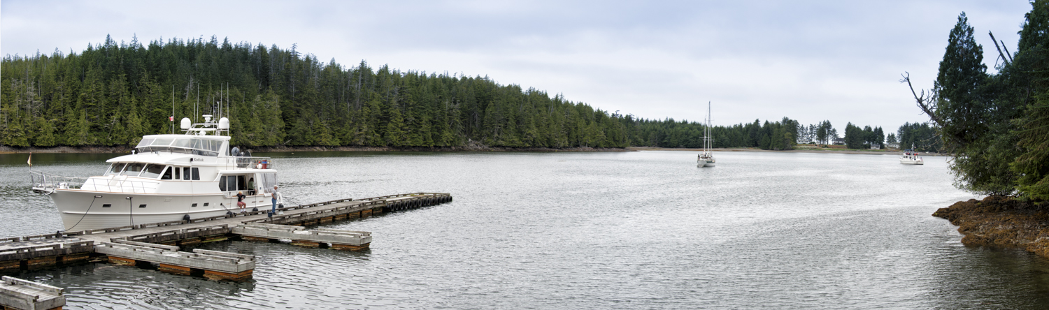
Columbia Cove is a three or four boat nook behind an island. It looks like it would be just an OK anchorage, but everyone writes it up as good in all winds. We tucked behind Protection Island, noting the fact that the cove was shallow, and we dropped anchor in 20 feet of water at close to high tide.

The entrance to Columbia Cove
I did do an anchor circle and saw depths as shallow as four feet under the keel. It’s always good to confirm where the thin water is and plan your anchoring accordingly.
Later in the day, I also put the bridle on and dropped another fifty feet of chain over the side. This helps ensure we do not move from our spot. With a low tide of plus 1.4 feet tomorrow morning, we’ll be seeing a lot more mud and rock. It’s good to know your boat will be safely away from those things.

Today Columbia Cove is picture perfect
As we were settling in, I spotted a black bear on the far shore. His was lumbering along the beach with an occasional side trip to grab some berries. We watched him for a good while, enjoying the sun shining on his black fur.
We explored the area in the dinghy, going around the entrance to check out the large beach (Shelter Shed #4) that faces the ocean. The breakers were too much to land the dinghy, but it was fun checking it out. We simply enjoyed the bright sunshine and being on the water. The guidebooks say there is a “primitive” and “difficult” trail from our anchorage to this beach, but neither Karen nor I was in the mood to slug our way along an unmarked path.
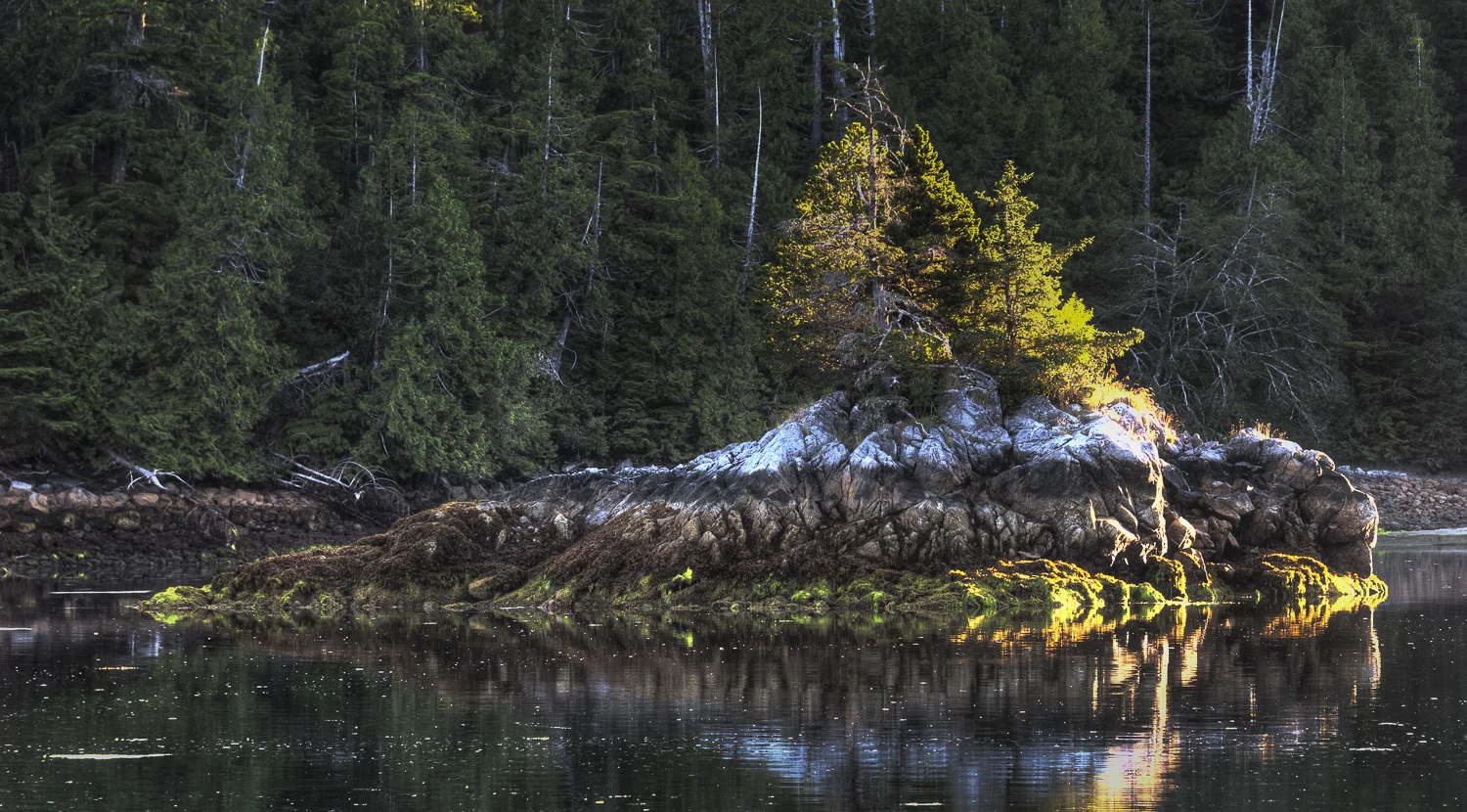
I love the layering of light and life on every rock
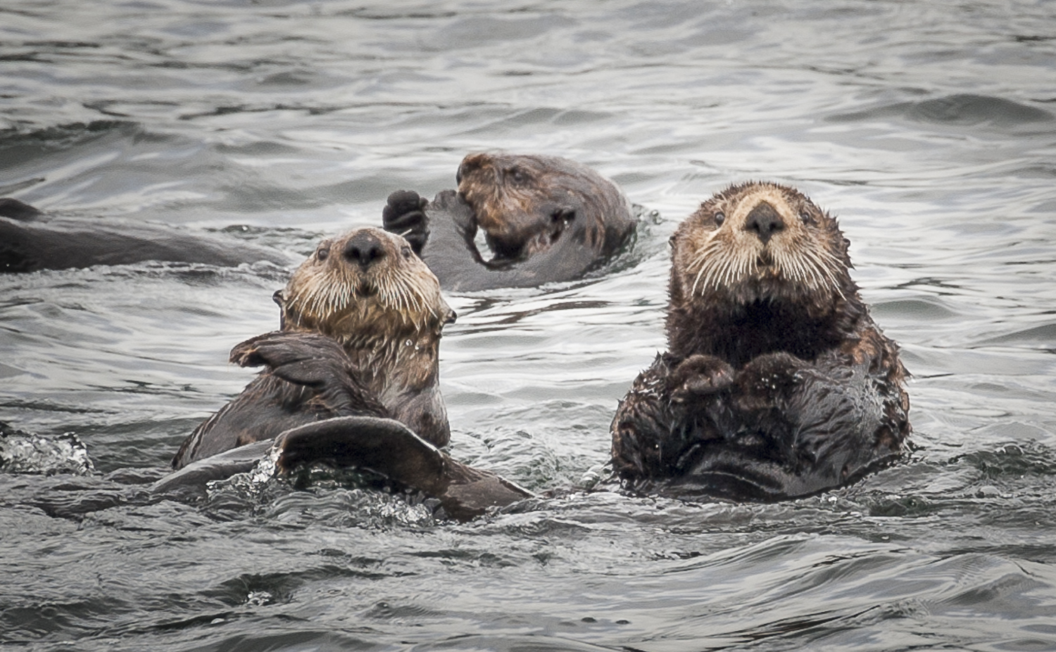
The afternoon was without a breeze and the temperature rose into the 80’s. After trying everything we could to keep the saloon cool and comfortable, on came the generator followed by the air conditioning. Two of the units were not working, so all we could do was hold our own as the heat outside rose. We watched some sea otters frolic in the cove, and kept an eye out for our friendly bear to no avail. It was a lazy, peaceful day. No other boats joined us.
Come evening and sunset, the temperature started to drop so we powered down the AC and settled in to enjoy my homemade pizza, Karen’s favorite food.
Another installment of season three of LOST rounded out our evening.
All in all, it was a very pleasant day of bright sun, with not a cloud to be seen from sunrise to sunset. Not your typical day in the Pacific Northwest.

Flank steak, caramelized onion with balsamic fig glaze pizza