Pavlof Harbor to Neka Bay
/Today we have a long trip planned. It’s 46 nautical miles from Pavlof Harbor to Neka Bay. One of the characteristics of Alaska is there are not a lot of anchorages. Therefore some legs, like this one, are such that the “next” suitable anchorage is 5-6 hours away. We try to keep these long days to a minimum, but sometimes you cannot avoid them.
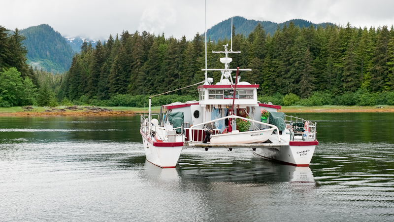
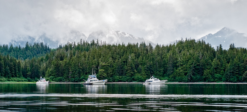
We leave Swamp Fox in Pavlof Harbor
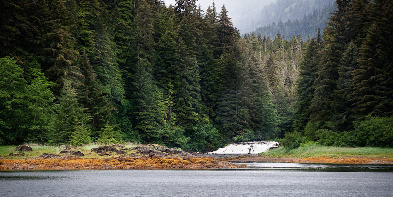
The waterfall on the river that feeds into Pavlof Harbor
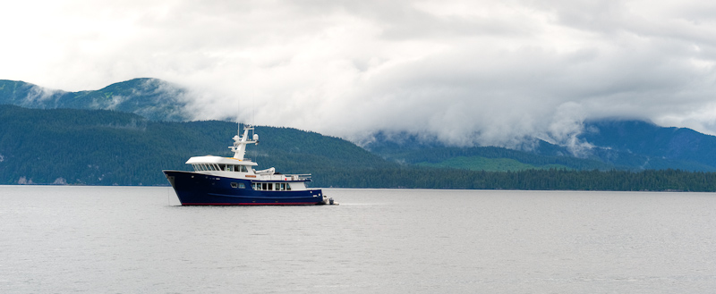
The wind was as forecast from the south, and our heading was north, so it was a comfortable ride. We passed a couple of boats heading in the opposite direction and they were bouncing their way into the waves.
After passing Point Augusta, we found a small fleet of seiners. Not nearly are large as the last fleet we negotiated, this was a less complicated navigation challenge. We also passed a small group of pleasure boats fishing. Some trolling for salmon, the other were stopped and fishing deep for halibut.
I l0ve to watch play amoung the mountain tops
A few humpbacks made an appearance but they were mostly just traveling by and not feeding ,so there was no reason to stop and observe.
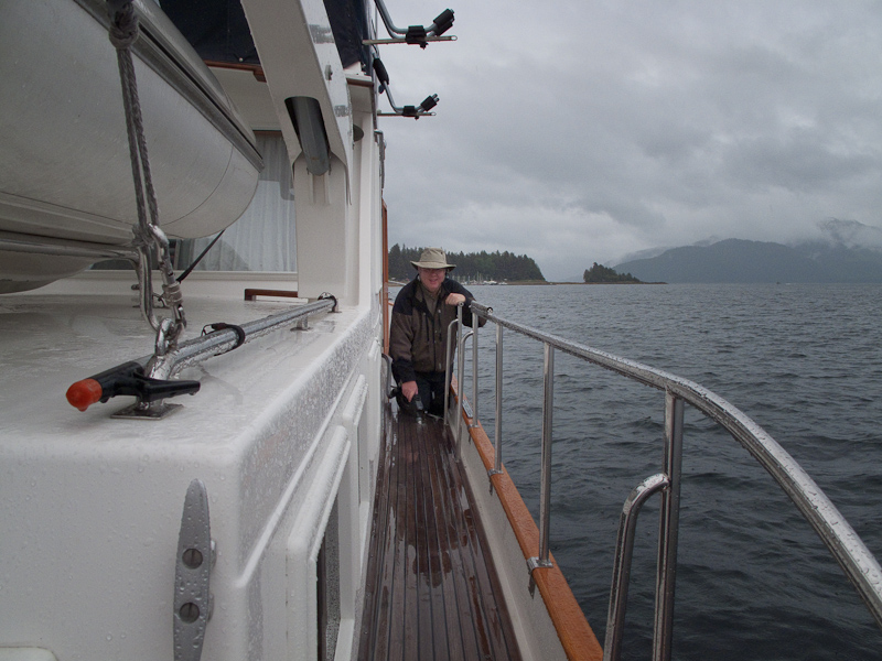
Karen and I traded helm duty on a two hour shift schedule. This makes the passage much easier for each person. However, when things get busy,as when transiting the seiner fleet, we both are at the helm to maximize the number of eyes.
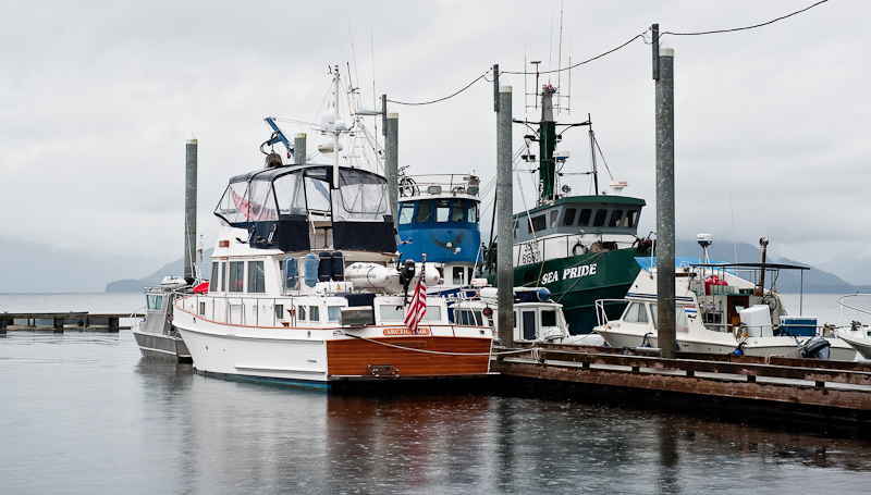
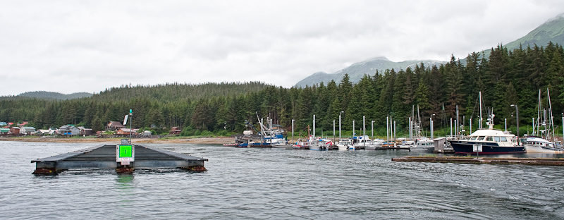
Our course to Neka Bay takes us right past the town of Hoonah, so we took a small detour into the harbor to get a preview. We plan to return there in a day or so to partake of the reported fabulous Halibut pizza.
The first thing you notice as you round the point into Port Frederick is “Icy Strait Point”. This was the site of an old cannery operation in Hoonah’s heyday. The cruise ship industry has created a large recreation area out of the operation. The passengers are entertained with tours, native displays, long walks to town and around the point and, I’m sure, other opportunities to part with additional cash. Normally I do not like having a cruise ship in port when I am, but as this operation is only open when the cruise ship arrives, I hope they are at Hoonah when we stop there. I would like to play tourist and see what it is all about.

Icy Strait Point
An hour after leaving Hoonah, we approached Neka Bay. There are three fingers that make up Neka Bay. The main bay is too large and open for us. The south bight looks just perfect for us, but there is not enough published information for us to try the narrow and shallow entrance narrows. That leaves the North Bight as our destination.
Six boats were already there anchored in four rafts. The rafts were dispersed along the north shore leaving us a nice spot at the head. All these bays are lined with crab pots, so the exact location of our anchor stop was centered among the pots ringing the head of the bight.
The bight received one more boat a after we arrived. The sailboat that had been shadowing us for the half of our trip anchored in the small indent on the south shore.
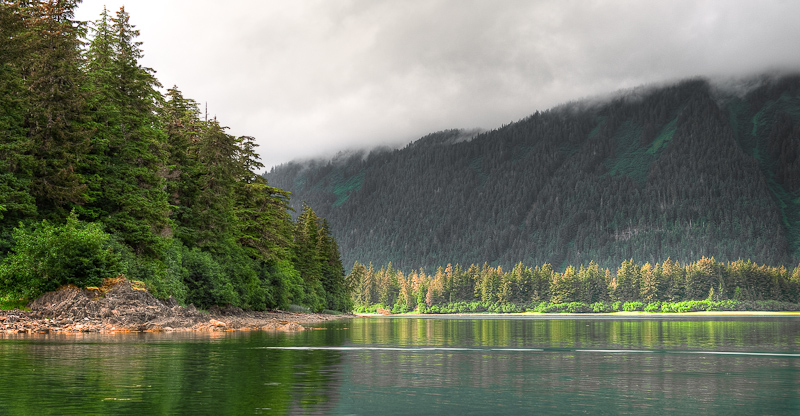
To satisfy our curiosity about the South Bight as a possible anchorage, we launched the dinghy despite it being cloudy and misty, and proceeded to work our way into the bight. The South Bight is really beautiful. Protected on all sides with steep mountains all around and fed by numerous streams. There is even a waterfall on the south side. It was high tide, and we were able to work our way over the drying falls at the head and explore the mouth of the stream in the northwest corner.
As we reversed course, we spotted the dinghy from the sailboat working its way toward us. I steered a course to them and we exchanged greetings. They asked if we had seen any bears. “No” was our reply, but they had seen a couple of cubs playing in the North Bight when they entered earlier.
Just before we worked our way out of the South Bight, we noticed what was either a very large black boulder or a very large opening to a cave about 200 feet up the side on the mountain to the south. An eagle was flying in the vicinity of the cave, but didn’t enter.
We would love to come back here, but without a sounder on our dinghy, we did not have a chance to take depth readings. However, my assessment is that with a high tide of 6 feet or more, I would make an attempt to enter. There is a 5 fathom hole plotted on the charts that would make a great anchorage. Something to look forward to on our next visit. If any of our readers have more information on the South Bight of Neka, let us know and we’ll share it on this site.
We continued our exploration by circumnavigating the North Bight. This area is also fed by multiple streams and is flanked all-around by what appear to be perfect “bear beaches”. Karen has worn out her eyes today searching for the elusive critters. I think we’re a little too early for the salmon runs and the bears are just not out and about on the beaches.
The sun tries to make a comback in North Bight
I multitasked during dinner preparation. I made orange-glazed salmon with rosemary potatoes and prepared curried chicken salad so we had lunch for tomorrow ready to go. A little extra work makes for a more leisurely day to follow. We hoped that the other boats might set off fireworks, but we didn’t see any preparations, so we headed off to bed.
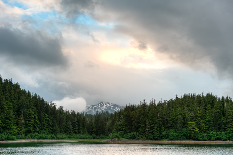
The clouds fight back and strat to dominate to heavens again


